
Best Photo Spots in Kargil
Kargil's pictures are spread along two roads: the highway between Dras and Mulbekh, and the Suru Valley road to Zanskar. Plan the light around the drive, because most spots are an hour or more apart.
 Low crowd
Entry Free
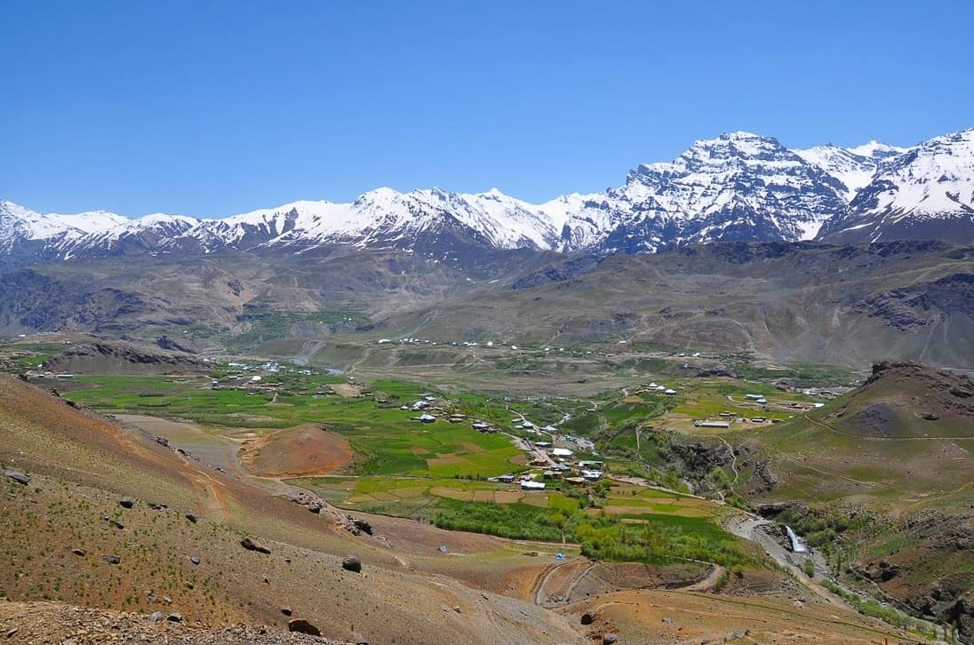
Dras Valley
- Best timeMorning, when the meadows are fresh and the ridges above are clear; late afternoon for long shadows across the valley floor.
- ColorsForest greenCreamCobalt
 Medium crowd
Entry Free
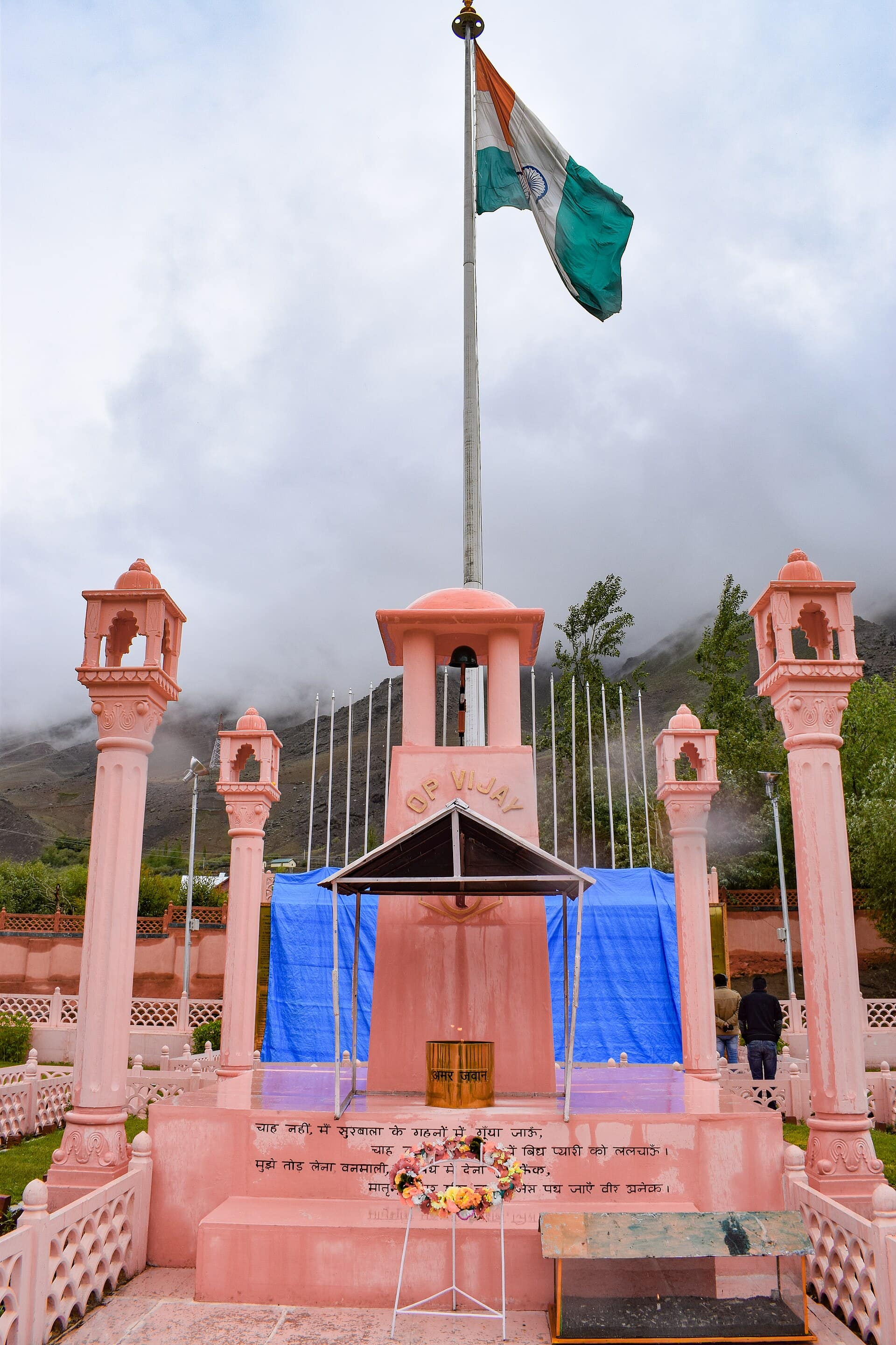
Kargil War Memorial
- Best timeMorning, when the sun lights the sandstone wall and the ridges behind are clear; late afternoon for softer light on Tololing.
- ColorsCreamOliveMaroon
 Medium crowd
Entry Free
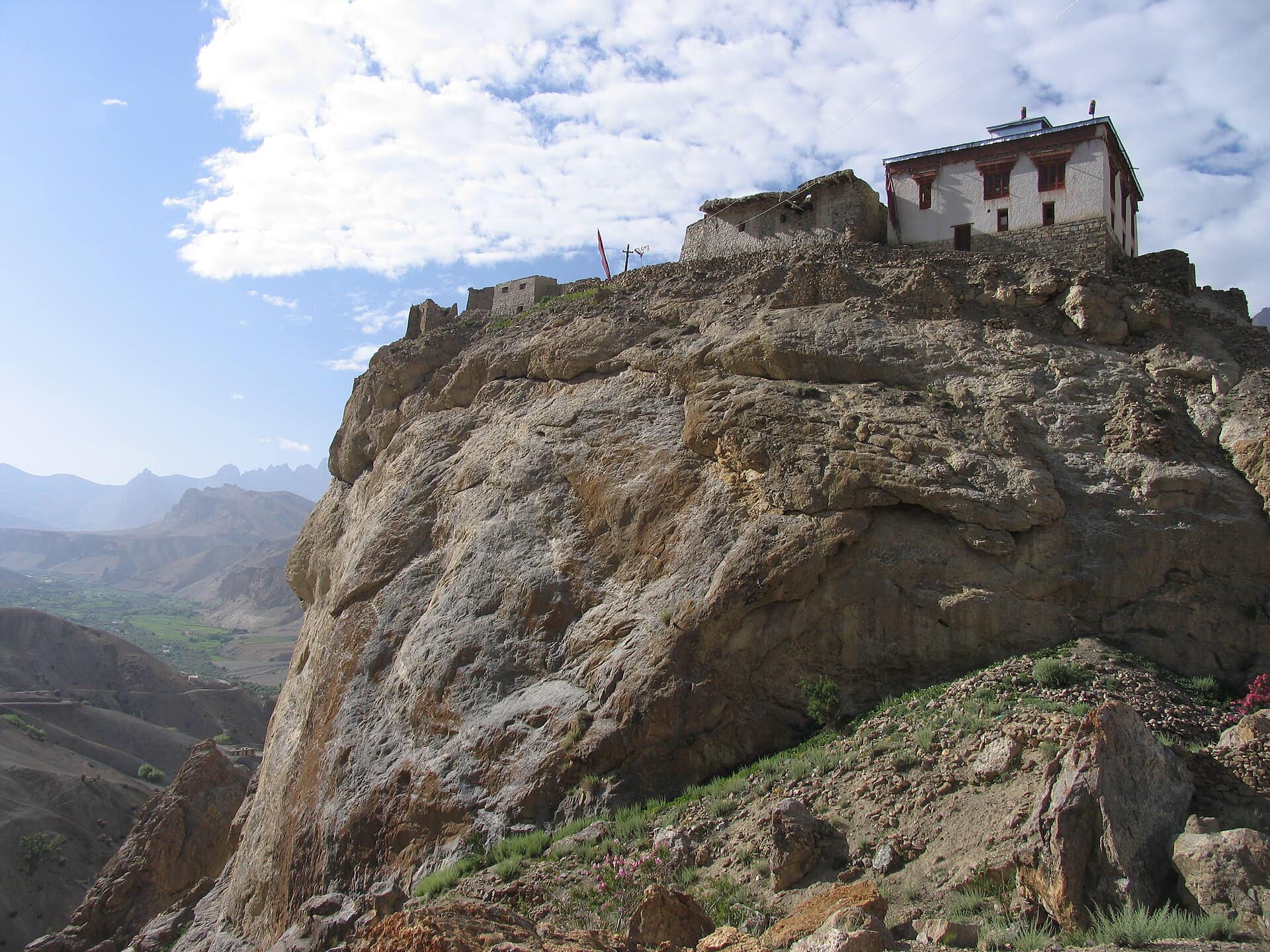
Mulbekh Chamba
- Best timeMorning, when side light picks out the carved crown and jewellery; late afternoon for warm colour on the rock and the crag above.
- ColorsMaroonCreamRust
 Low crowd
Entry Nominal
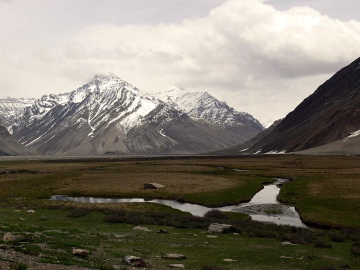
Rangdum Monastery
- Best timeLate afternoon, when low light turns the striped hills red and gold; early morning for still air and a clear view of the glaciers.
- ColorsMaroonCreamCobalt
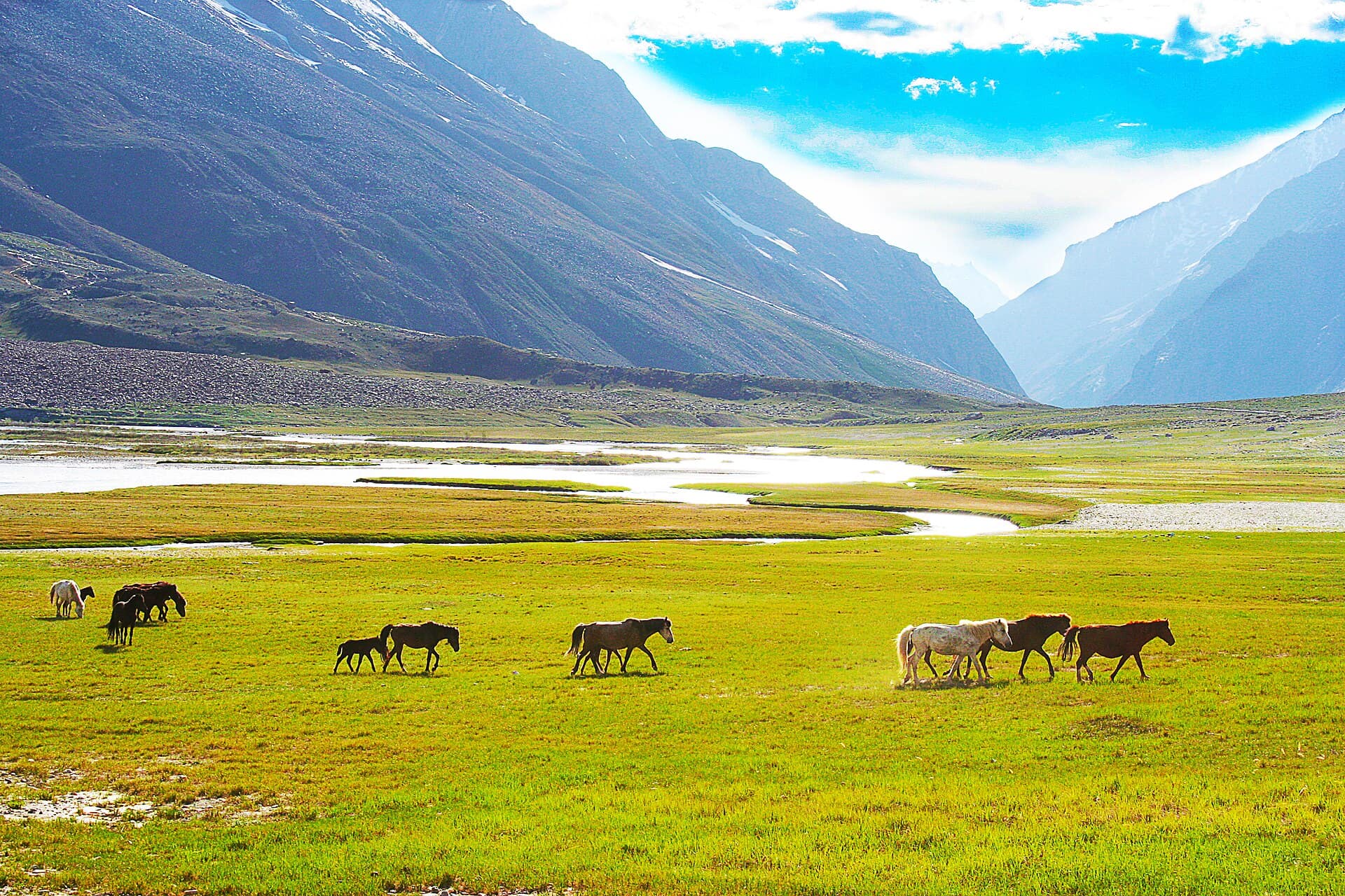 Low crowd
Entry Free
Suru Valley
- Best timeEarly morning, when Nun and Kun are clear and sharp before the midday cloud; late afternoon for warm light on the barley fields near Sankoo.
- ColorsForest greenRustCobalt
Two roads, two kinds of picture
The highway gives you history: the war memorial at Dras to the west and the rock-cut Buddha at Mulbekh to the east. The Suru Valley road south gives you mountains, fields and, at the end, a lone monastery. You cannot do both well in one day.
Suru Valley and Nun-Kun
In the Suru Valley, the classic view of the Nun and Kun peaks opens up around Panikhar and becomes huge near Parkachik, where a glacier drops almost to the river. Morning is best, when the snow is sharp and before clouds gather on the peaks. Green barley fields and poplar rows in the lower valley make a good foreground in July and August.
Mulbekh Chamba
The Mulbekh Maitreya stands right beside the road, and the carved lines show best in low side light. A small shrine built in front covers the lower part, so step back across the road for the full figure, then look up for the gompas on the crag above.
Dras and the memorial
At the Kargil War Memorial, the pink sandstone wall and the ridgelines behind it make the shot. Tololing is right above the site. In the wider Dras Valley, summer meadows and flat-roofed villages sit under steep brown slopes.
Rangdum
Rangdum Monastery stands on a small hill in a wide, empty valley. Stop on the road below for the wide shot. Late afternoon light turns the striped hills around it red and gold.
Rules that matter here
The Line of Control is close. Never photograph army camps, bunkers, bridges, checkpoints or convoys, and do not fly a drone. Ask before photographing people, especially women in the Suru villages, and during Muharram processions keep the camera away unless someone invites you. Inside monastery prayer halls, ask first and skip the flash.
Questions
Kargil — FAQ
Where is the best view of Nun and Kun?
Around Panikhar and Parkachik in the Suru Valley, roughly 60 to 80 km south of Kargil. Go in the morning, before cloud builds on the peaks.
Can I fly a drone around Kargil?
Assume not. This is a border district with many military sites, and drones are banned near them. Leave it packed unless you have written permission.
Can I photograph the Muharram processions?
Only with care. They are acts of mourning, not a show. Watch from the side, keep the camera down, and ask before photographing anyone.
Can I cover Mulbekh and the Suru Valley in one day?
Not comfortably. They are in opposite directions from Kargil. Do Mulbekh on the way to or from Leh, and give the Suru Valley its own day.