
Ladakh · India
Kargil
The second-largest town of Ladakh on the old Silk Route, a green oasis on the Suru river — gateway to the spectacular Suru Valley and Zanskar, the rock-cut Maitreya of Mulbekh, and the Kargil War memorial at Dras.
Kargil is Suru-valley Ladakh: the green river town, the majestic Nun-Kun peaks of the Suru Valley, the ancient Mulbekh Maitreya, the Dras war memorial, Balti-Purig Muslim culture, and Ladakhi-Balti food.
Plan your trip
Kargil Tour Itineraries
Timed, walkable day plans — plus the best season to go.
Where to shoot
Kargil Photo Spots
 Low crowd
Entry Free
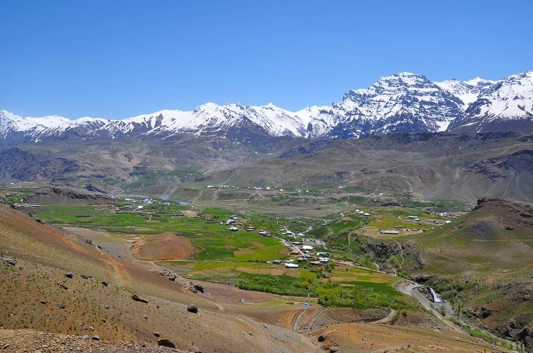
Dras Valley
- Best timeMorning, when the meadows are fresh and the ridges above are clear; late afternoon for long shadows across the valley floor.
- ColorsForest greenCreamCobalt
 Medium crowd
Entry Free
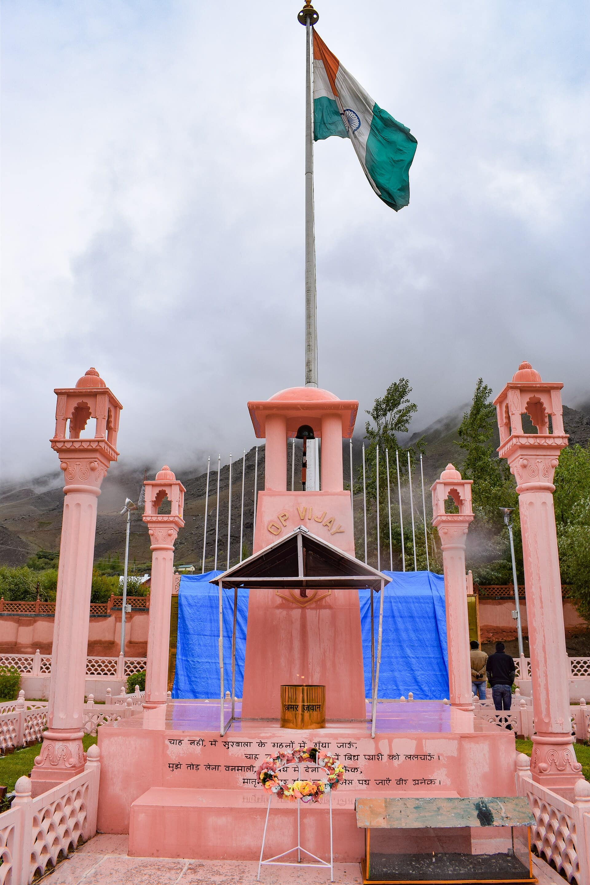
Kargil War Memorial
- Best timeMorning, when the sun lights the sandstone wall and the ridges behind are clear; late afternoon for softer light on Tololing.
- ColorsCreamOliveMaroon
 Medium crowd
Entry Free
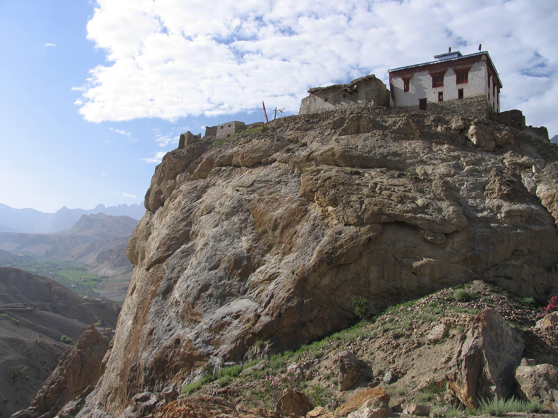
Mulbekh Chamba
- Best timeMorning, when side light picks out the carved crown and jewellery; late afternoon for warm colour on the rock and the crag above.
- ColorsMaroonCreamRust
 Low crowd
Entry Nominal
Rangdum Monastery
- Best timeLate afternoon, when low light turns the striped hills red and gold; early morning for still air and a clear view of the glaciers.
- ColorsMaroonCreamCobalt
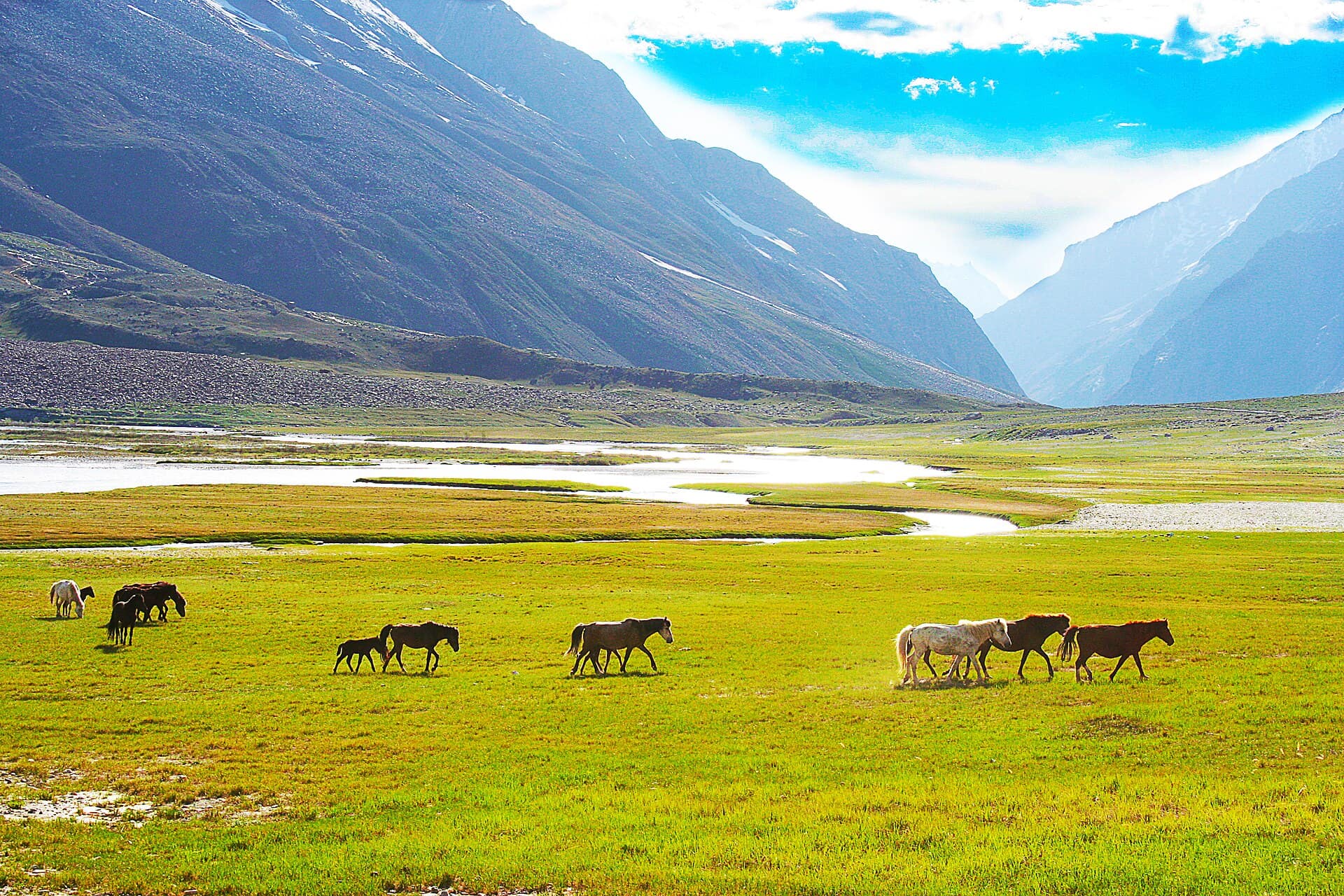 Low crowd
Entry Free
Suru Valley
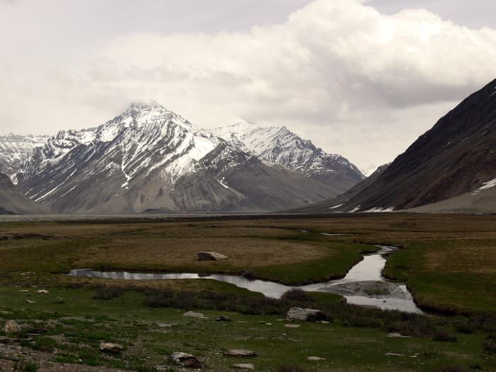
- Best timeEarly morning, when Nun and Kun are clear and sharp before the midday cloud; late afternoon for warm light on the barley fields near Sankoo.
- ColorsForest greenRustCobalt
For the feed
Trending Wear in Kargil
Modern, Instagram-friendly looks
Rooted in the city
Kargil Traditional Wear
Local, cultural, handcrafted outfits
Taste the city
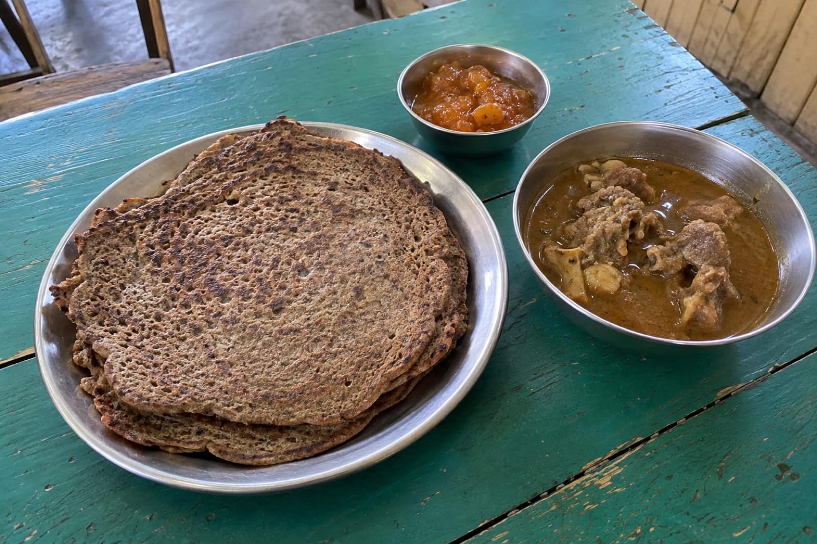
Food to Eat in Kargil
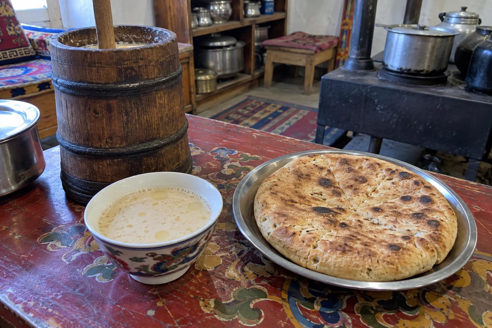
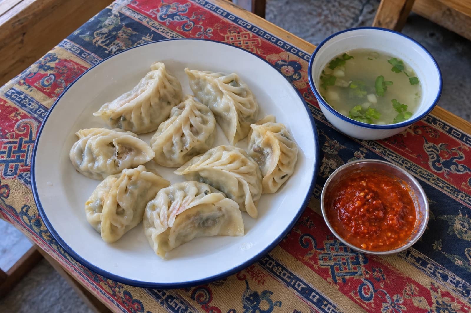
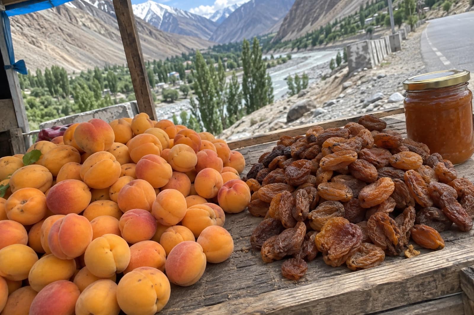
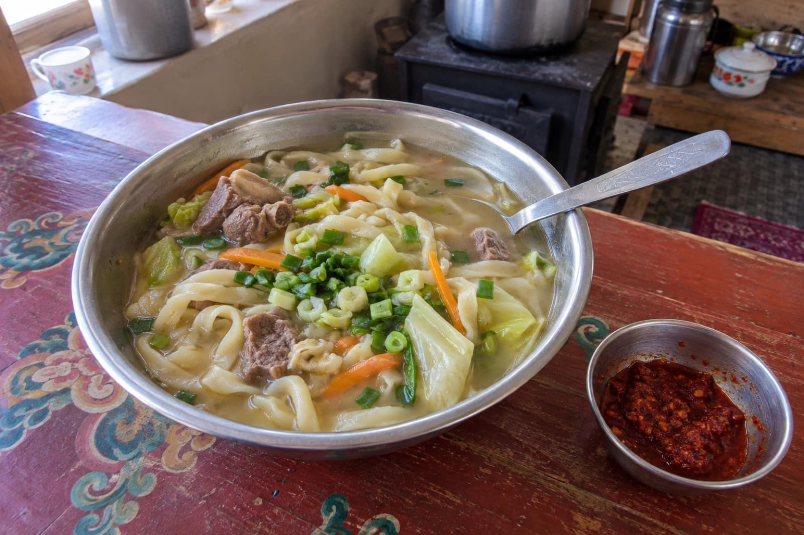
Trusted tables
Where to Eat in Kargil
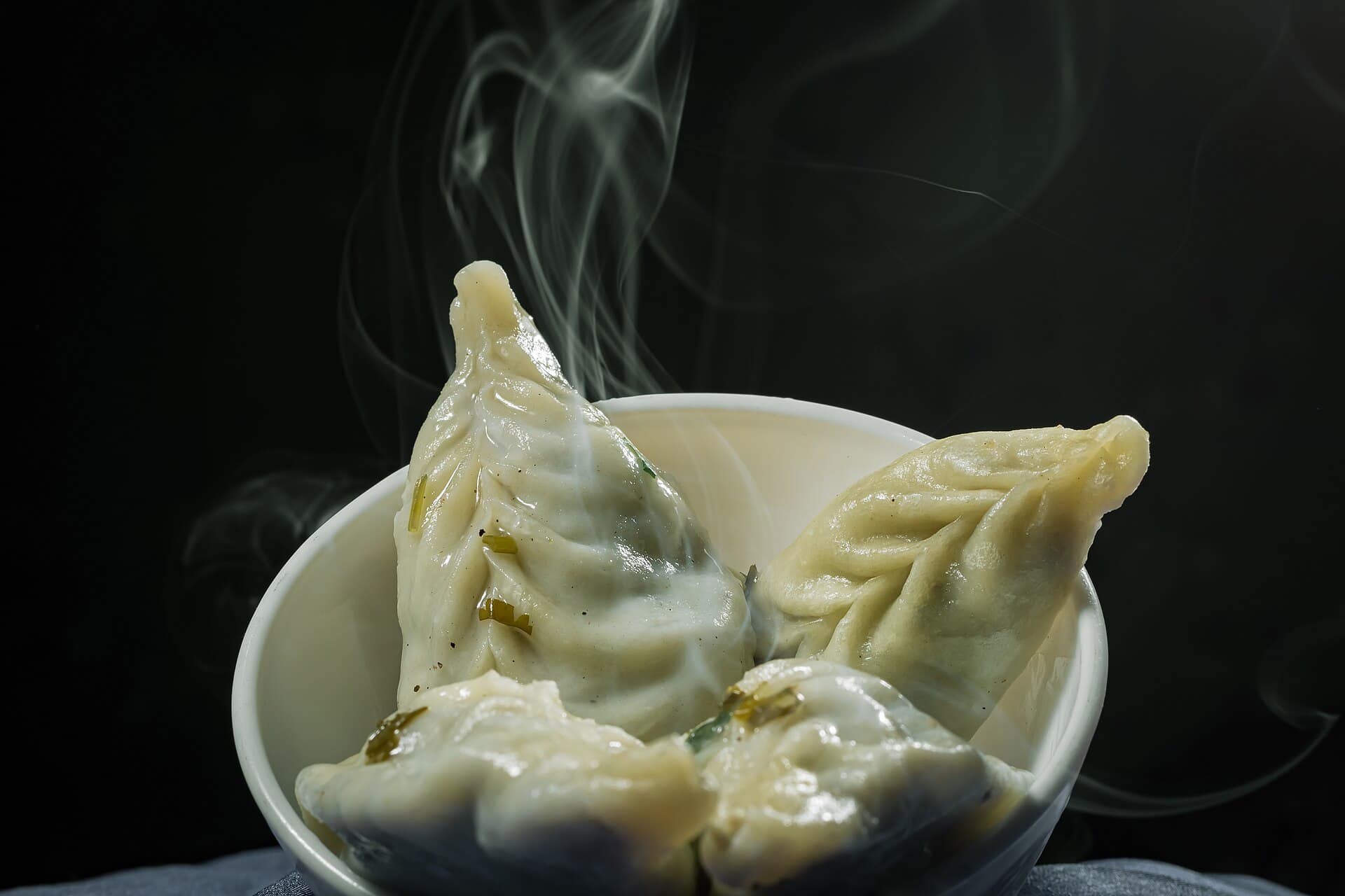 Representative photo
Dras Valley Dhaba
Dras
Representative photoMulbekh Highway Dhaba
Mulbekh
Representative photoSilk Route Café
Kargil
Representative photoSuru View Restaurant
Kargil
A river town between Kashmir and Leh
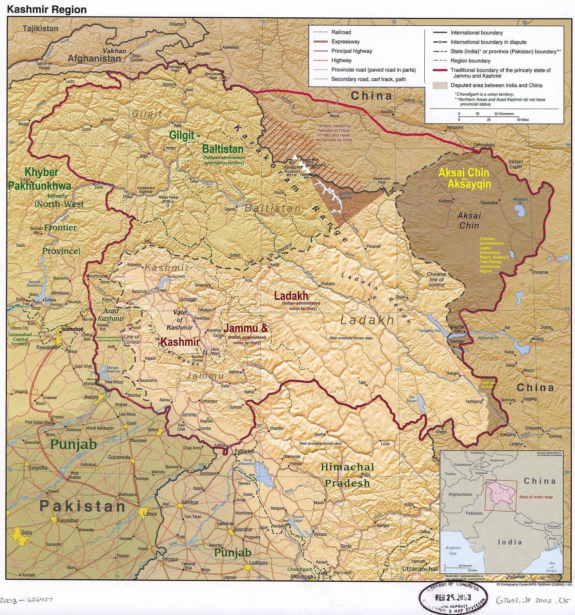
Kargil sits at about 2,680 m where the Suru river opens into a wide basin, roughly 204 km east of Srinagar and 234 km west of Leh on the national highway. For centuries it was a halt for caravans moving between Kashmir, Leh, Skardu and Central Asia, and the town still feels like a stopover: a long main bazaar, hotels along the river, and traffic heading for Leh or Zanskar. Most people spend one night here. Two or three nights let you see the Suru Valley properly.
Who lives here
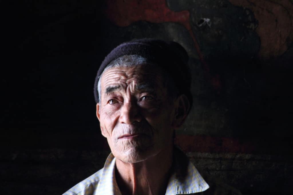
This is the Purig and Balti side of Ladakh. Most people in and around the town are Shia Muslims, while Dras to the west is mostly Sunni, and Buddhist villages begin around Mulbekh to the east and at Rangdum in the upper Suru Valley. Expect call to prayer, black flags during Muharram, and a more conservative dress sense than in Leh.
What to see
- The Kargil War Memorial at Dras, below Tololing and Tiger Hill, about 60 km west.
- The 9 m rock-cut Maitreya at Mulbekh, about 45 km east on the Leh road.
- The Suru Valley, with views of the 7,000 m Nun and Kun peaks from Panikhar and Parkachik.
- Rangdum Monastery, an 18th-century Gelugpa gompa about 130 km south, on the road to Zanskar.
- The Dras Valley, green in summer and among the coldest inhabited places in India in winter.
In town, the Munshi Aziz Bhat Museum, run by a local family near the bazaar, keeps goods from the old caravan trade: Yarkandi hookahs, Kashgar rugs, Khotan silk, costumes and coins.
Getting here
There are no regular passenger flights. The nearest airports are Srinagar and Leh, and the nearest big railhead is Jammu. Shared taxis and government buses run along the highway in season. From Srinagar the road crosses Zoji La, which usually closes for part of the winter, though recent winters have seen it kept open for longer. Kargil, Dras, the Suru Valley and Zanskar do not need an inner line permit; Batalik and the Aryan Valley to the north-east do.
Altitude and border rules
Coming from Srinagar, the climb is gradual and Kargil makes a good first night at height. Rangdum is above 4,000 m, so go slowly and drink plenty of water. The Line of Control is only about 11 km north of town. Photograph mountains, villages and the memorial, but never army posts, bridges or convoys, and follow any instruction from a soldier.
When to go
June to September is when every road is open. The best time to visit page goes month by month, and what to wear covers the cold mornings and the conservative town.
Questions
Kargil — FAQ
Is Kargil worth more than a night?
Yes, if you add the Suru Valley. One night covers the war memorial and Mulbekh on the highway. Two or three nights let you drive to Panikhar for the Nun-Kun views, or on to Rangdum.
Is Kargil safe for tourists?
Yes. It is a busy town on the main Srinagar–Leh highway and sees many travellers every summer. It is a border district, so avoid photographing military sites and carry ID for checkpoints.
Do I need a permit for Kargil?
No inner line permit is needed for Kargil town, Dras, the Suru Valley or Zanskar. Batalik and the Aryan Valley, north-east of town near the Line of Control, need one.
Should I stop in Kargil or Leh first?
If you drive from Srinagar, Kargil is the natural halfway night and a gentler first step up in altitude than Leh. If you fly into Leh, rest there for about 48 hours before driving west.
Can I drive from Kargil to Zanskar?
Yes, in season. The road runs up the Suru Valley, past Rangdum and over Pensi La to Padum. Pensi La is usually open from late May or June until October.