
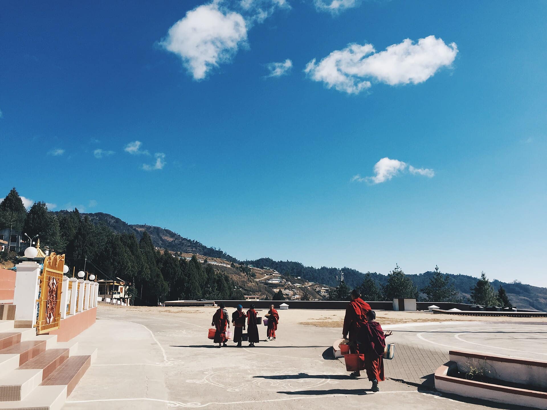
Arunachal Pradesh · India
Bomdila
A tranquil hill town in West Kameng, gateway to Tawang — with a large Monpa Buddhist monastery, apple orchards and craft centres, and grand views of the Kangto and Gorichen Himalayan peaks.
Bomdila is Monpa-Buddhist Arunachal: the hilltop monastery, apple and kiwi orchards, the Eaglenest birding sanctuary, the Dirang valley and dzong nearby, Monpa weaves, and momos-and-thukpa food.
Plan your trip
Bomdila Tour Itineraries
Timed, walkable day plans — plus the best season to go.
Where to shoot
Bomdila Photo Spots
 Medium crowd
Entry Free
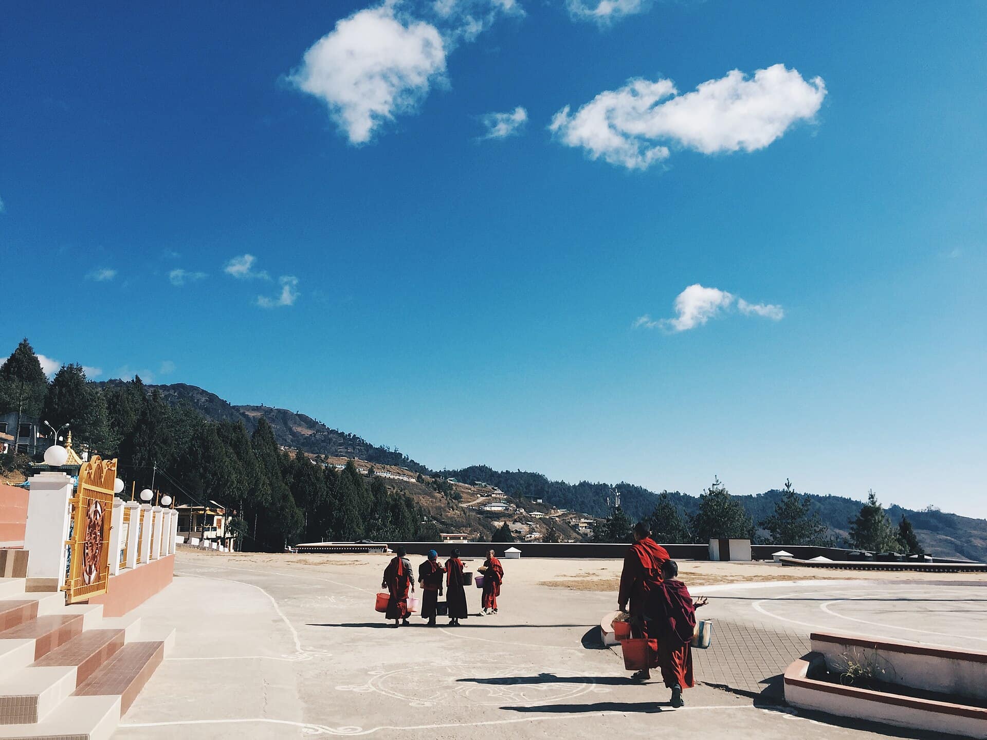
Bomdila Market & Craft Centre
- Best timeLate morning when the craft centre is busy with artisans at work; autumn afternoons for colourful fruit stalls in the market.
- ColorsMaroonCreamRust
 Medium crowd
Entry Free
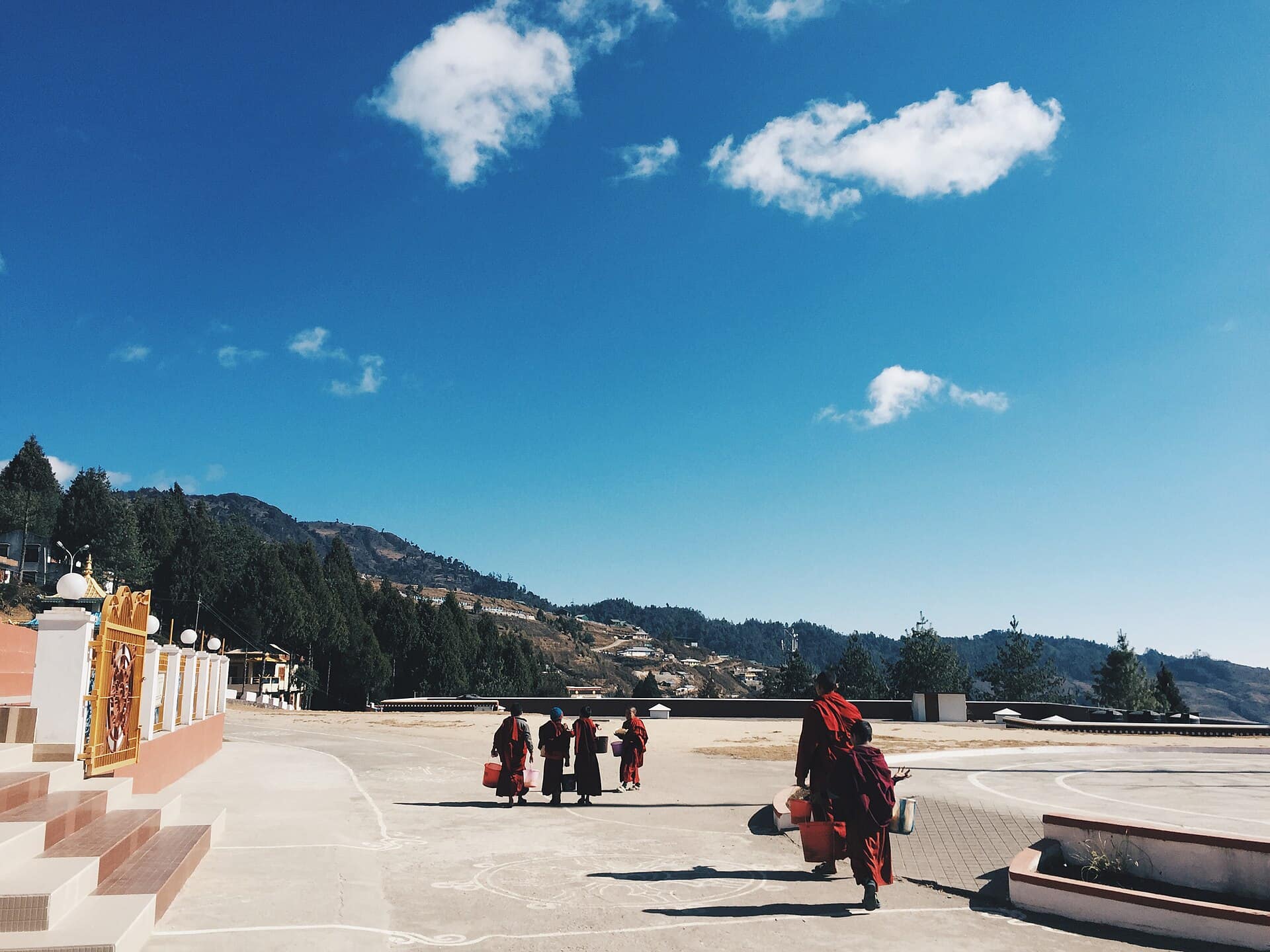
Bomdila Monastery
- Best timeEarly morning for clear skies over the hills and monks heading to prayers; late afternoon for warm light on the painted prayer hall.
- ColorsMaroonSaffronCream
 Low crowd
Entry Free
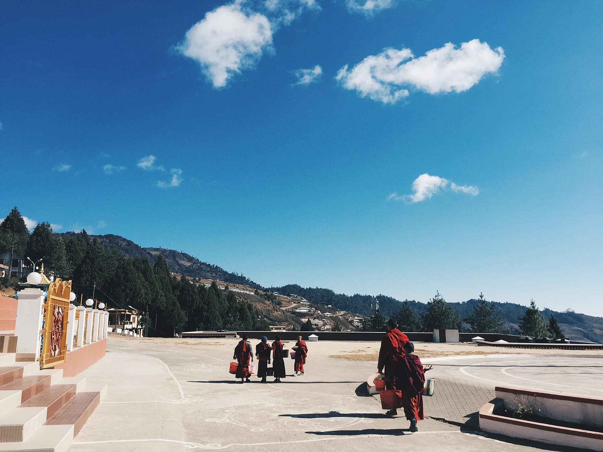
Bomdila View Point
- Best timeSunrise — clear air and first light on the snow peaks before cloud rises from the valleys.
- ColorsRedCharcoalCream
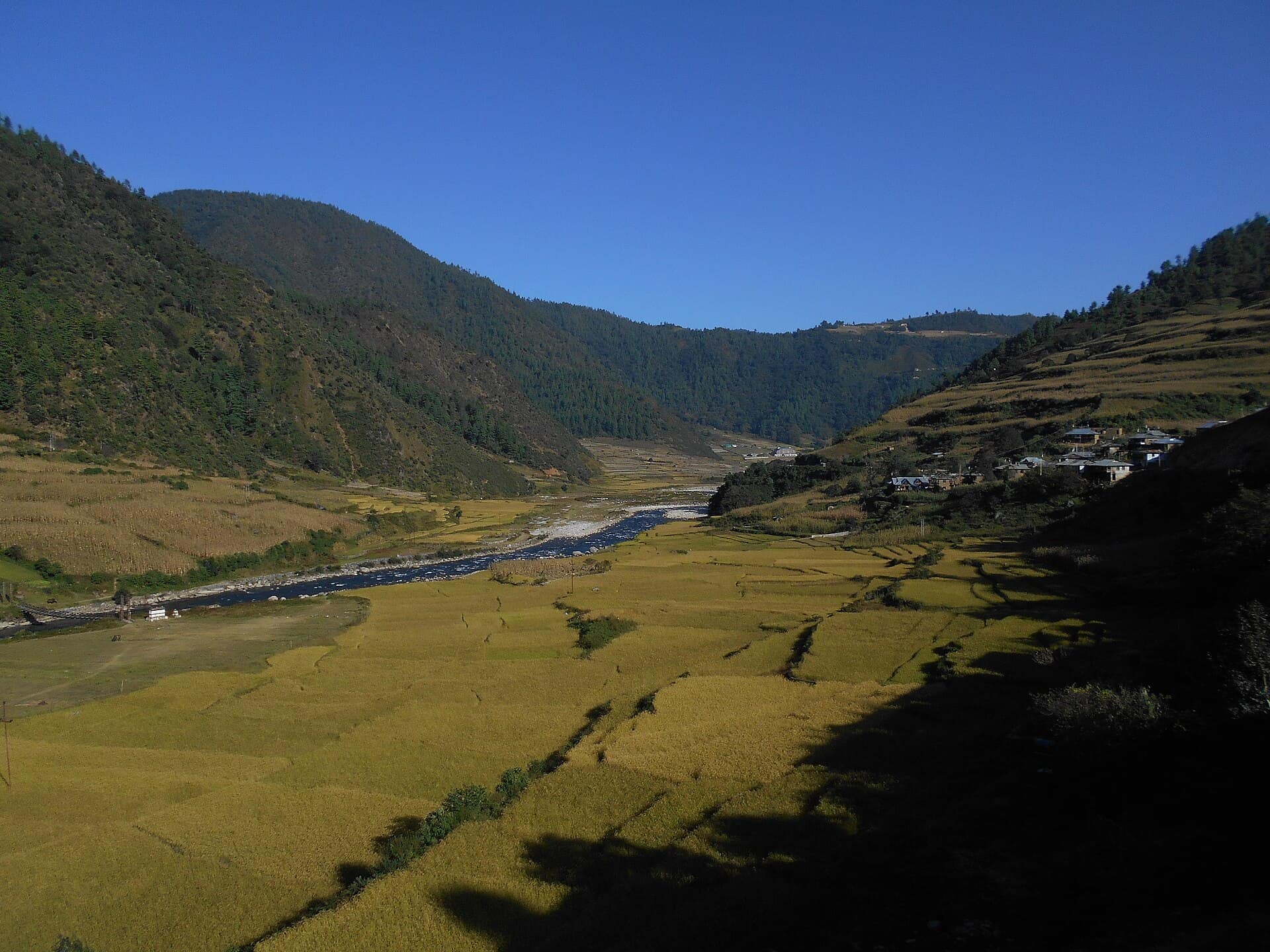 Low crowd
Entry Free
Dirang Valley & Dzong
- Best timeMorning for soft light on the dzong's stone walls and mist on the river; late afternoon for warm light across the orchards.
- ColorsRustCreamForest green
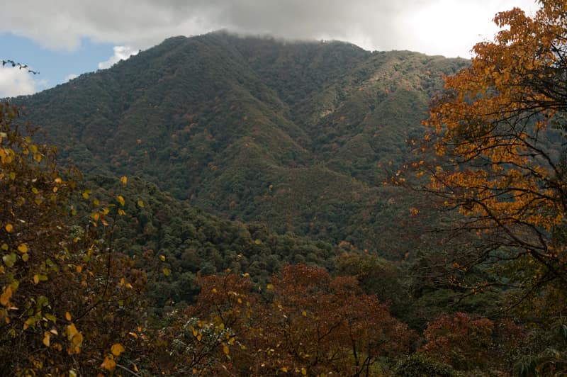 Low crowd
Entry Permit
Eaglenest Wildlife Sanctuary
- Best timeFirst light for active birds and mist in the valleys; late afternoon for soft light on the forest ridges.
- ColorsOliveCreamForest green
For the feed
Trending Wear in Bomdila
Modern, Instagram-friendly looks
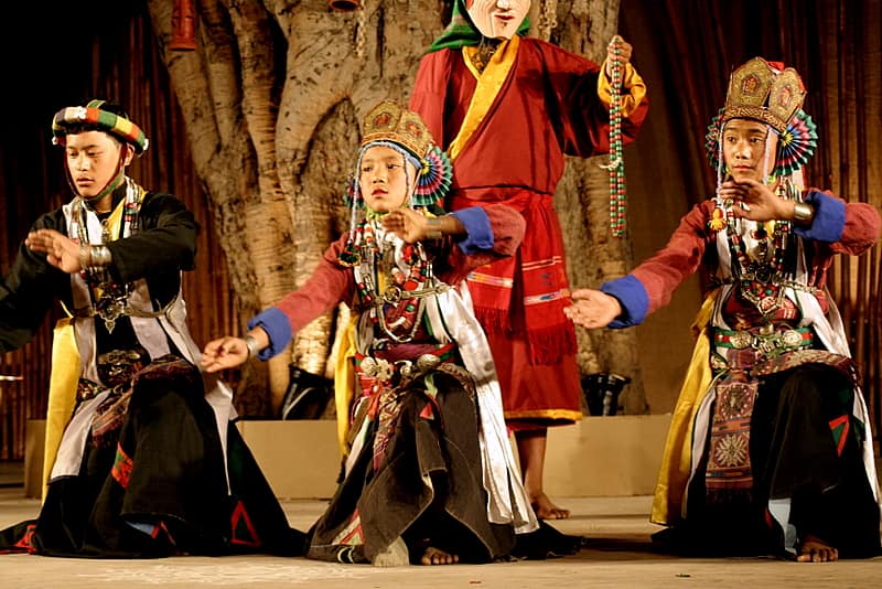
Rooted in the city
Bomdila Traditional Wear
Local, cultural, handcrafted outfits
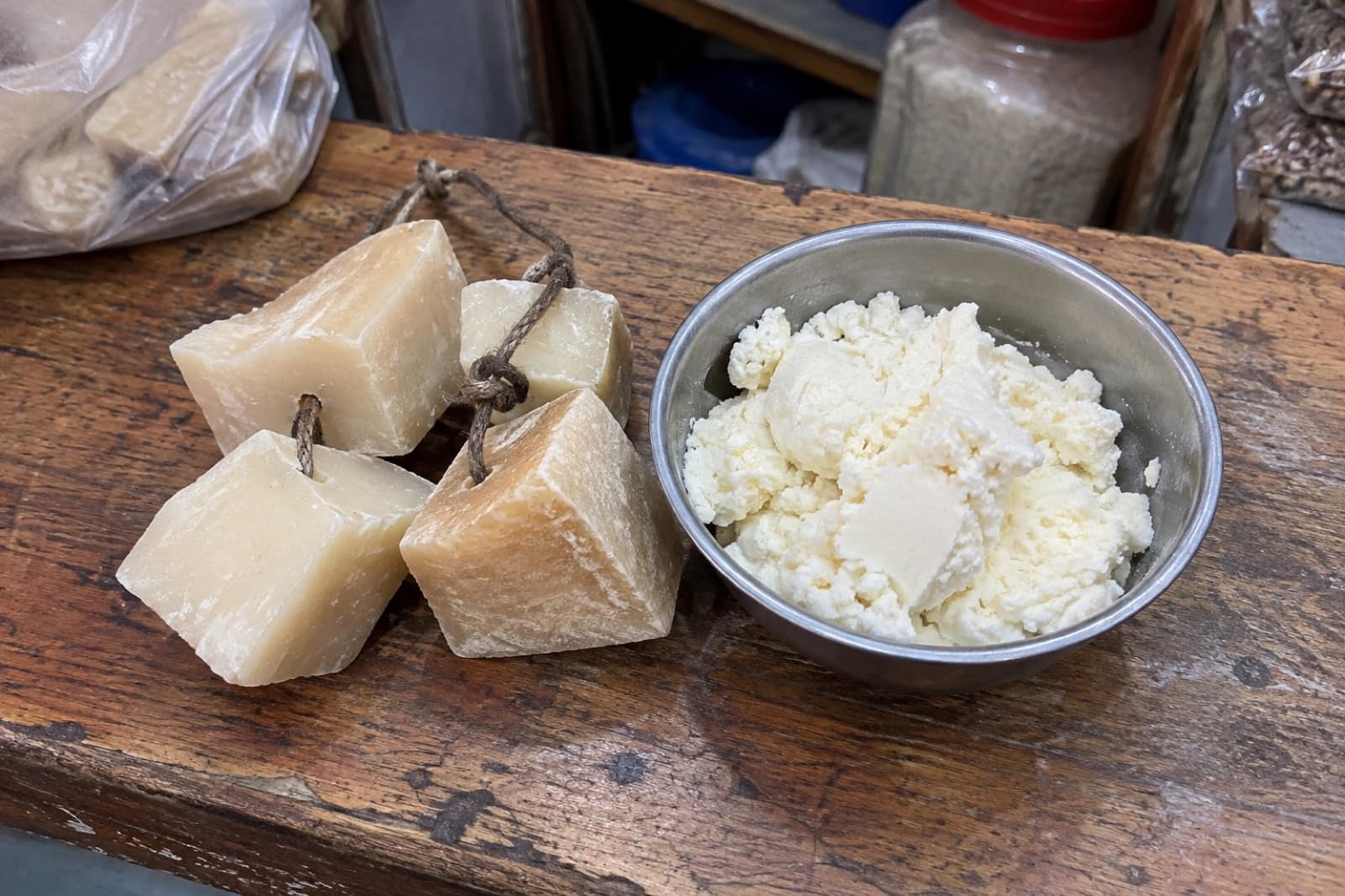
Taste the city
Food to Eat in Bomdila
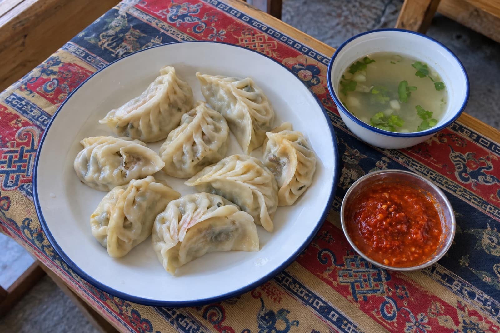
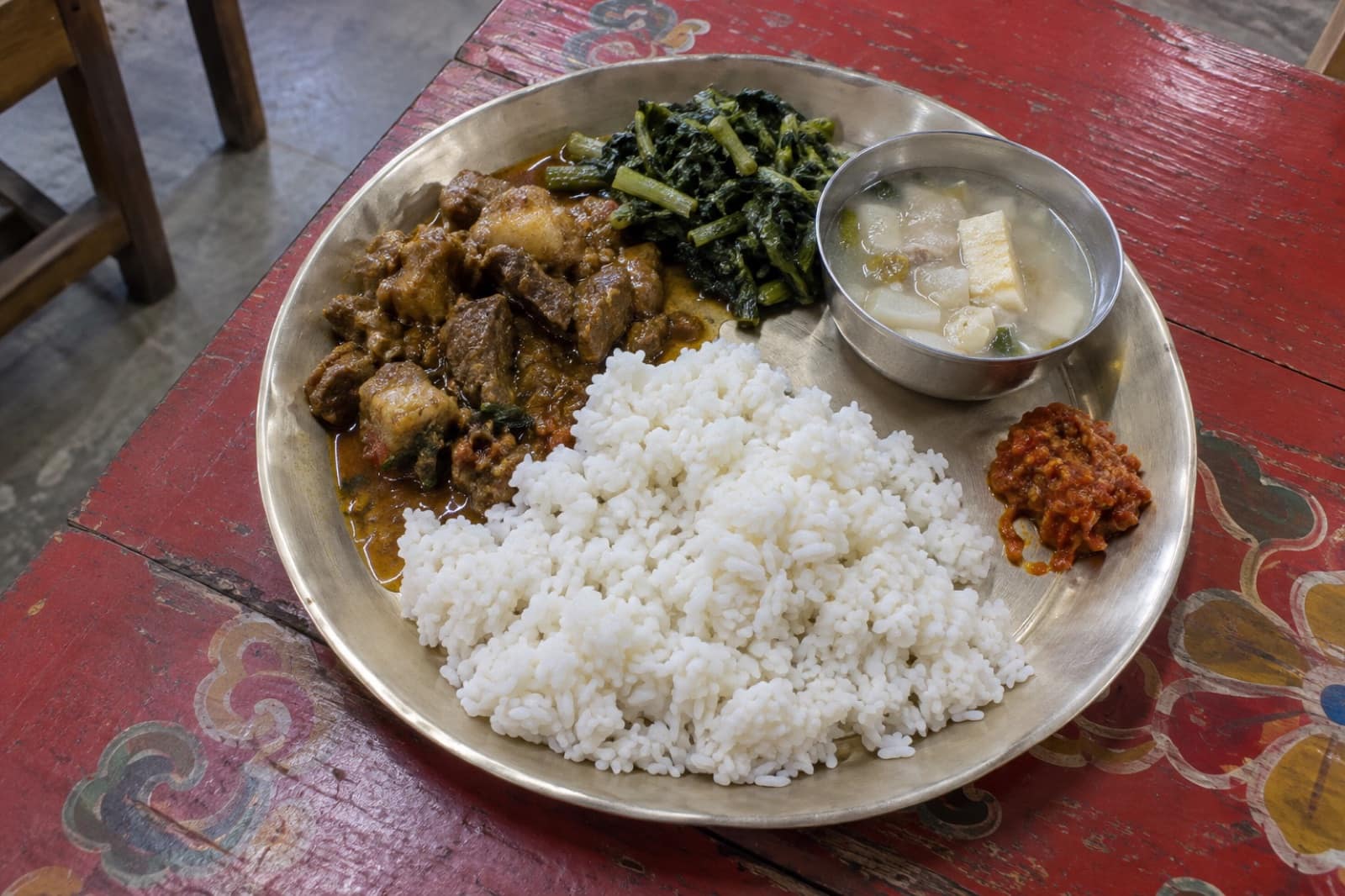
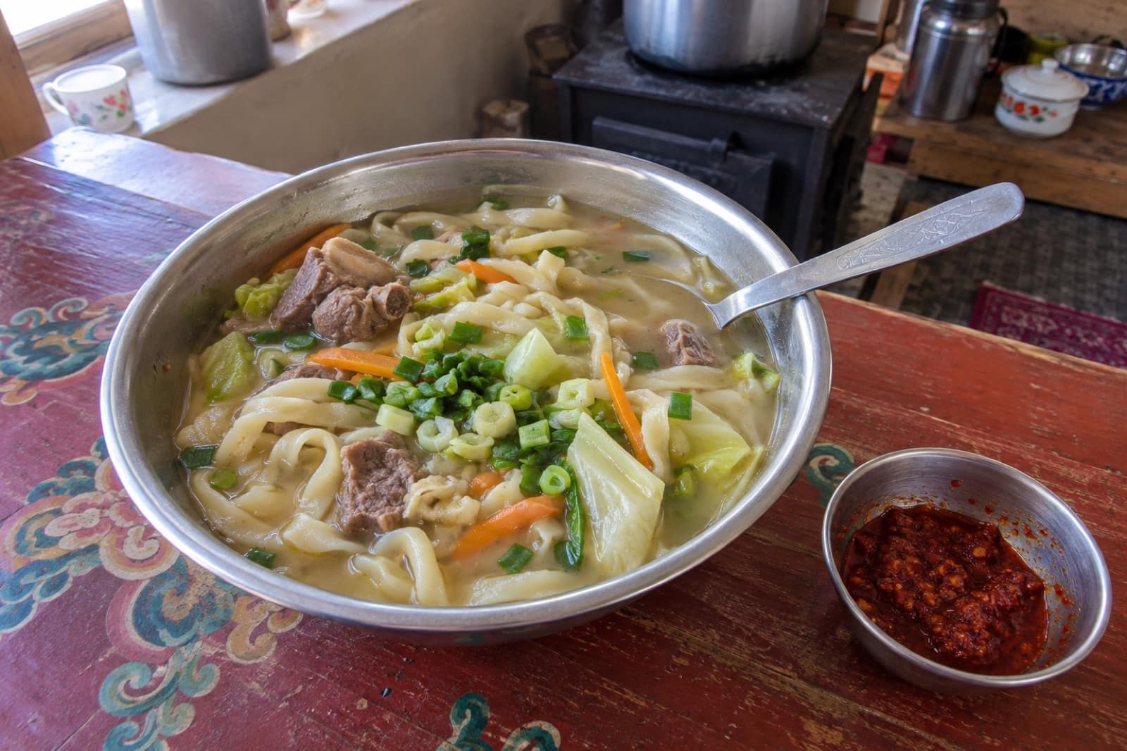
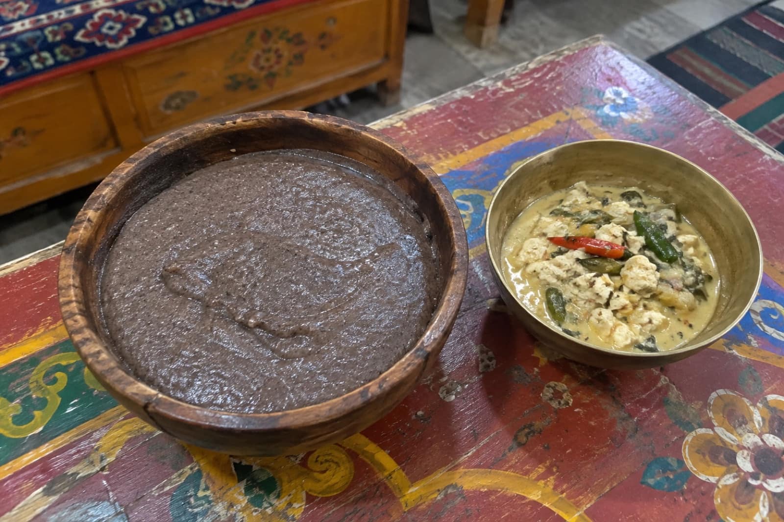
Trusted tables
Where to Eat in Bomdila
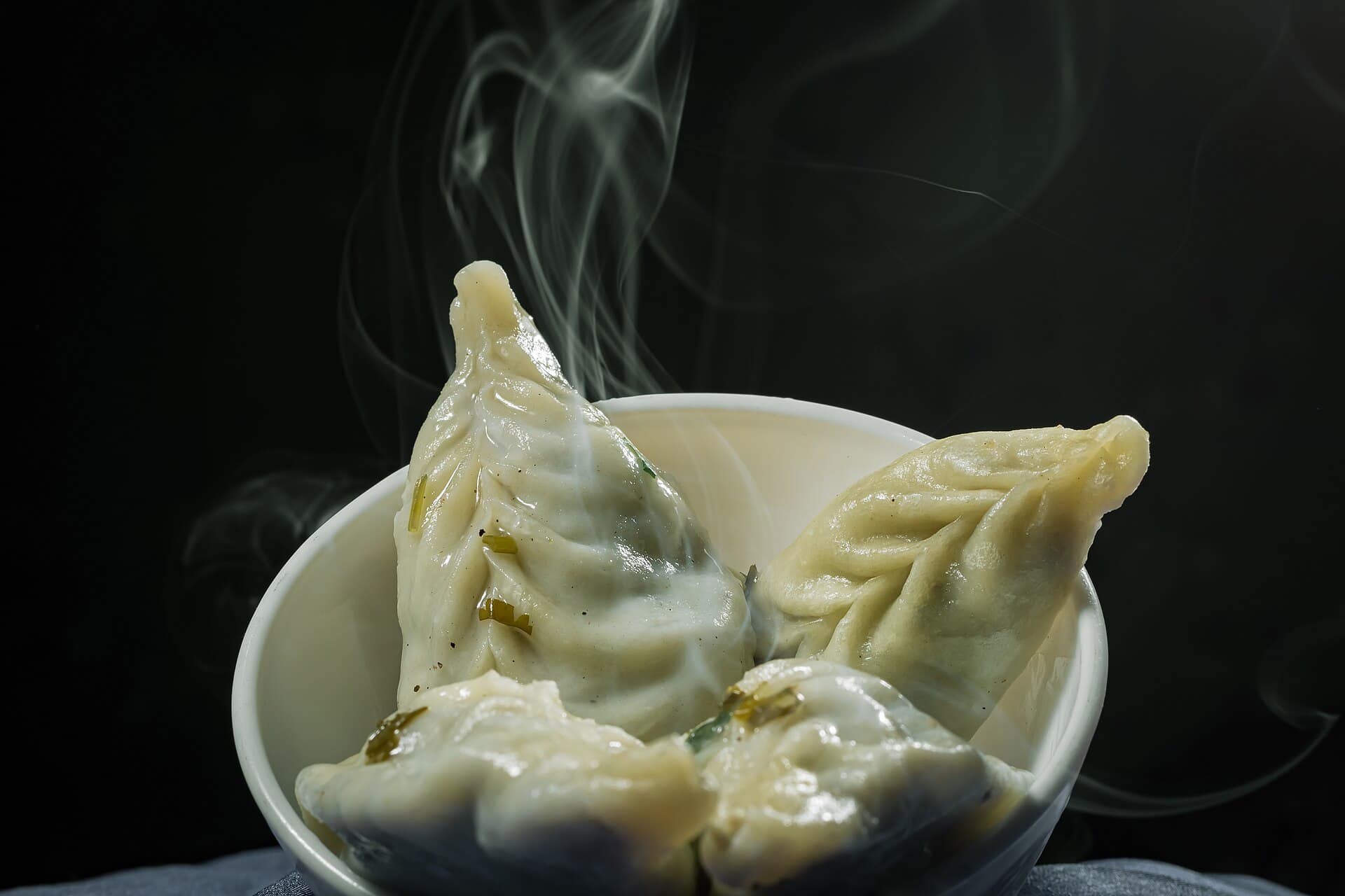 Representative photo
Apple Orchard Café
Bomdila
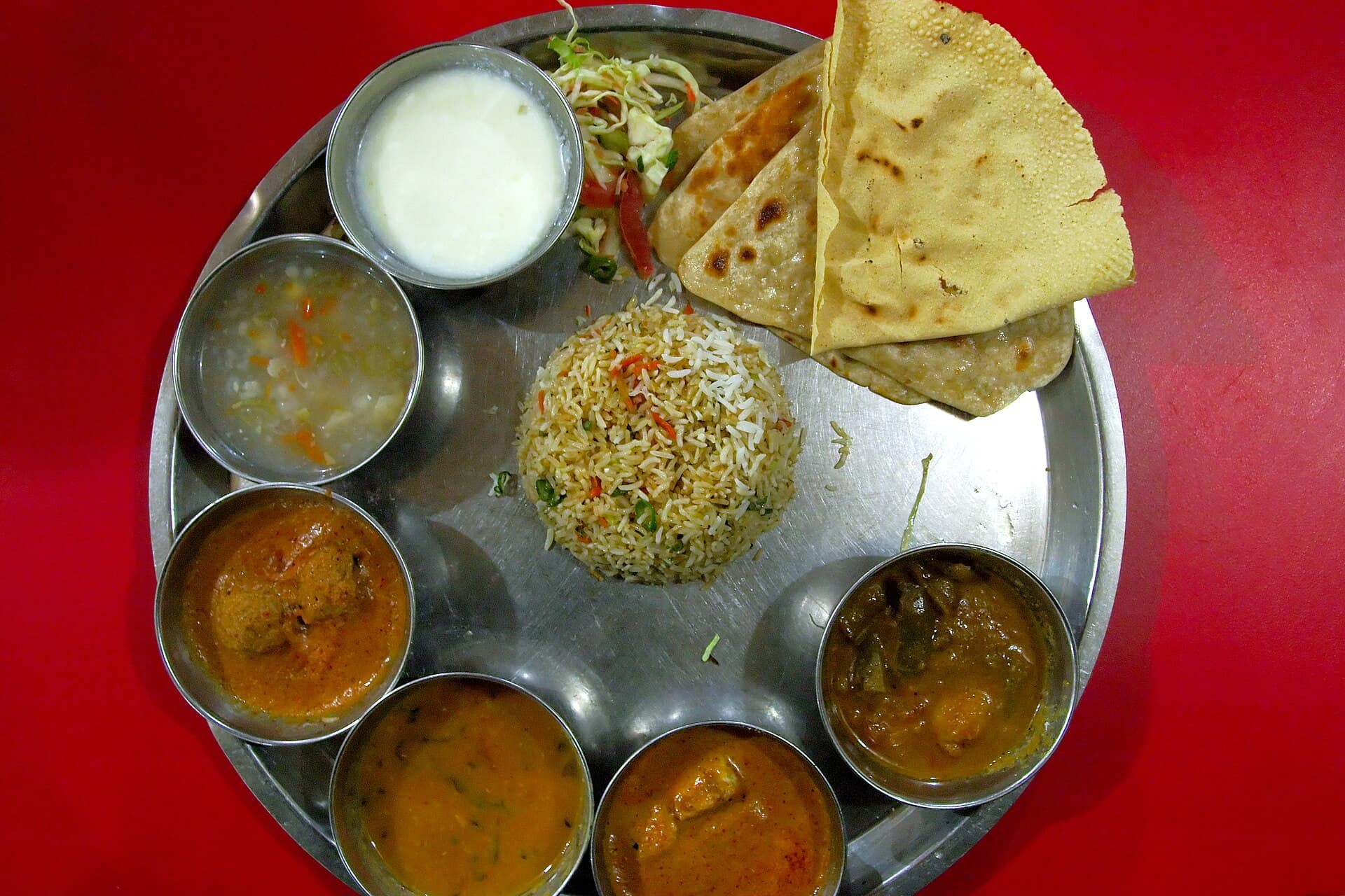 Representative photo
Dirang Trout Kitchen
Dirang
Representative photoGompa View Restaurant
Bomdila
Representative photoMonpa Kitchen
Bomdila
The first hill town on the Tawang road
Bomdila is the headquarters of West Kameng district, spread along a ridge at about 2,400 metres. For most travellers it is the first real stop after entering Arunachal from Assam at Bhalukpong, and the place where the air turns cool and the prayer flags begin. It is a small, working town: government offices, an army presence, apple orchards on the slopes, and a monastery complex above the market. Most people here are Monpa or Sherdukpen, and Buddhism shapes the calendar.
Permits and getting here
Every Indian visitor from outside the state needs an e-ILP, the online Inner Line Permit, and foreign nationals need a Protected Area Permit arranged through a registered tour operator. Both are checked at Bhalukpong. From Tezpur in Assam, the nearest airport with regular flights, the drive is roughly five to six hours on a road that climbs steadily through forest. Guwahati is a full day away.
Why stop here
Bomdila breaks the long climb to Tawang and helps your body adjust to the height before the 4,000-metre Sela Pass. It is also worth a day on its own. The Bomdila Monastery and the Government Craft Centre are easy half-days, the viewpoint gives a wide sweep of the Himalaya on a clear morning, and the market sells Monpa carpets, woollens and seasonal fruit.
Around Bomdila
The Dirang valley, about 40 km on towards Tawang, is lower and gentler, with a stone fort-village, hot springs, orchards and, in winter, black-necked cranes in the nearby Sangti valley. South of town, Eaglenest Wildlife Sanctuary is one of the best birding forests in Asia, but it needs planning, a naturalist and camp bookings.
When to come
October to April is dry and clear, with the best mountain views; winter nights are very cold and snow falls some years. March to May brings rhododendrons, orchids and the peak birding season. From June to September, rain and landslides can slow the road from Bhalukpong badly.
Practical notes
Evenings are quiet and restaurants close early. Carry some cash, as ATMs can run out. Mobile signal is good in town and patchy on the highways. Drink plenty of water on your first day at this height.
Questions
Bomdila — FAQ
Is Bomdila worth a stop on the way to Tawang?
Yes. A night here breaks the long drive and helps you adjust to the height before Sela Pass. The monastery, craft centre and viewpoint make an easy, rewarding day.
Do I need a permit for Bomdila?
Yes. Indian visitors need an Inner Line Permit, available online as an e-ILP, and foreign nationals need a Protected Area Permit. It is checked at the Bhalukpong entry gate.
How do I reach Bomdila?
By road. The nearest airport with regular flights is Tezpur in Assam, about five to six hours away. Taxis and shared sumos run from Tezpur and Guwahati via Bhalukpong.
Should I stay in Bomdila or Dirang?
Either works. Bomdila is higher and colder, with the monastery and craft centre. Dirang is lower and milder, with hot springs and orchards. Many people spend a night in each.
Does it snow in Bomdila?
Sometimes, usually between December and February, but not every year. Nights are cold throughout winter, so pack warm layers.