
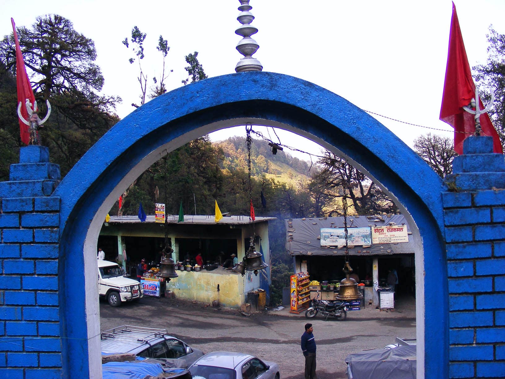
Uttarakhand · India
Chopta
A 'mini Switzerland' of alpine meadows and rhododendron forest in Garhwal — trailhead to Tungnath, the world's highest Shiva temple, and Chandrashila peak, with grand Himalayan panoramas.
Chopta is trekking Garhwal: meadows and rhododendron woods, the climb to Tungnath and Chandrashila, the mirror lake of Deoria Tal, the Kedarnath musk-deer sanctuary, and Garhwali food.
Plan your trip
Chopta Tour Itineraries
Timed, walkable day plans — plus the best season to go.
Where to shoot
Chopta Photo Spots
 Medium crowd
Entry Free
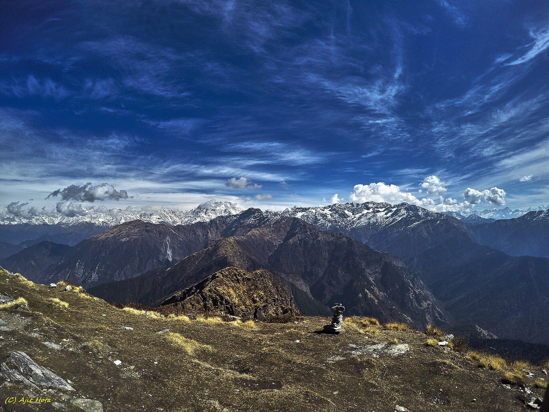
Chandrashila Peak
- Best timeSunrise, when the first light turns the snow peaks gold and the air is at its clearest; early morning after the monsoon for the longest views.
- ColorsRedBlackWhite
 Medium crowd
Entry Free
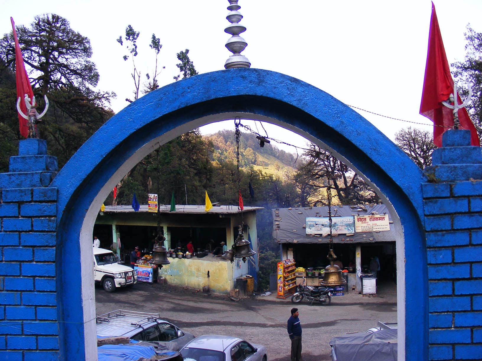
Chopta Meadows
- Best timeEarly morning, when the peaks are clear and mist lies in the forest; late afternoon in autumn for gold light on the grass.
- ColorsRedForest greenCream
 Medium crowd
Entry Nominal
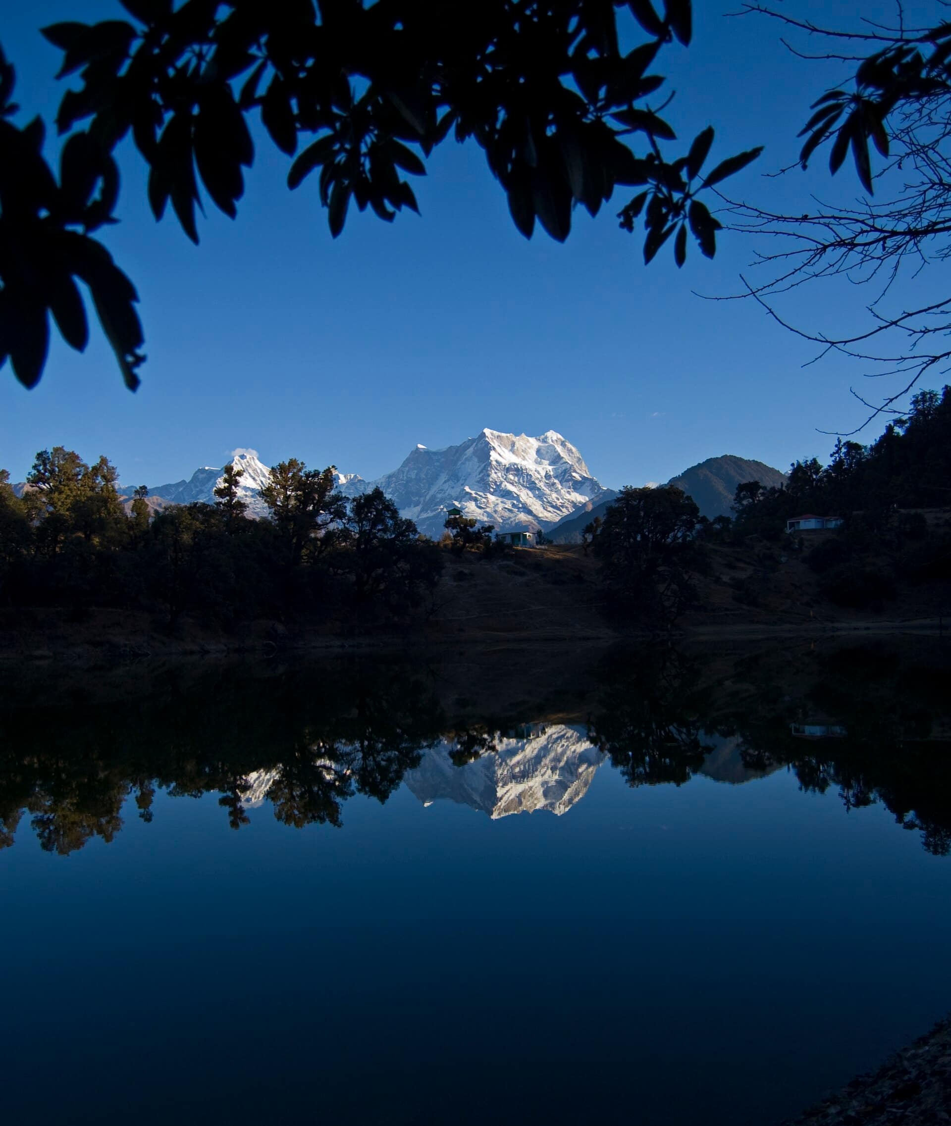
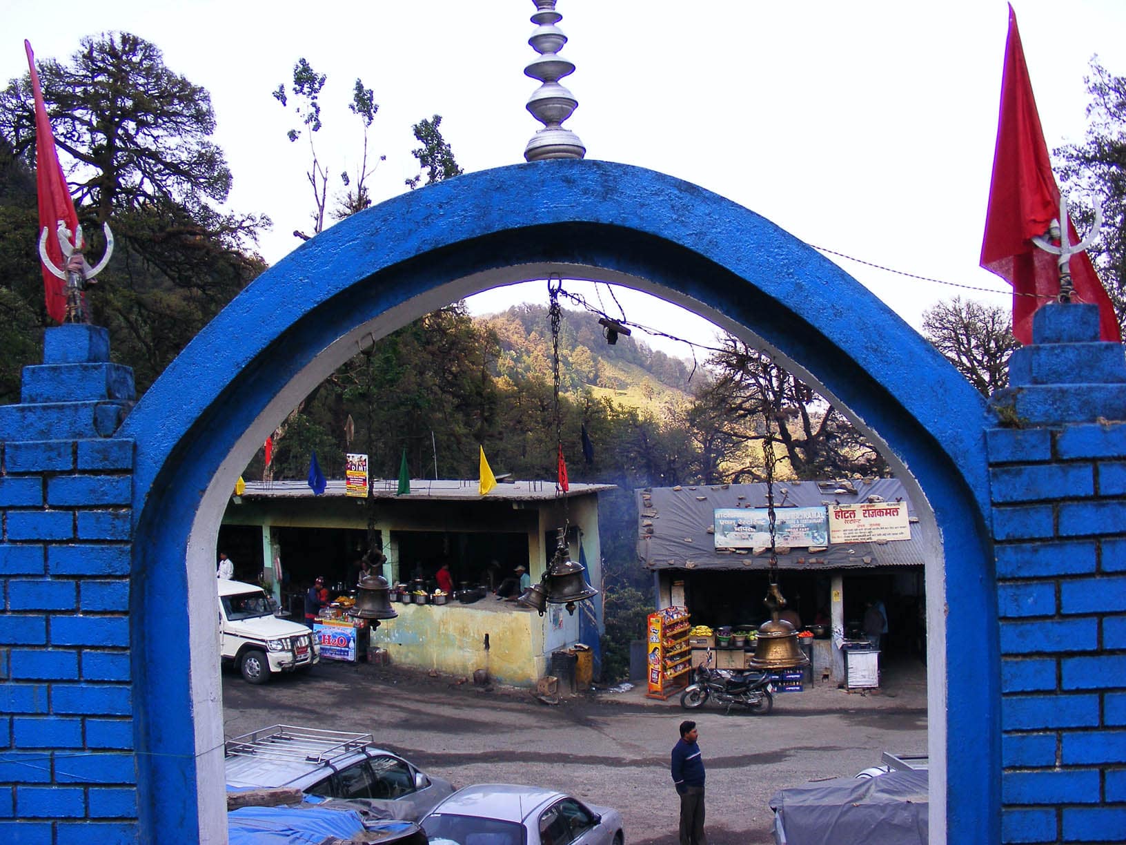
Deoria Tal
- Best timeDawn, when the water is still and Chaukhamba is reflected clearly; early morning in October and November for the clearest skies.
- ColorsRedWhiteForest green
 Low crowd
Entry Nominal
Kanchula Korak
- Best timeEarly morning, when mist hangs between the trees and the forest is quiet; overcast days for soft, even light on the moss.
- ColorsForest greenRustCream
 Medium crowd
Entry Free
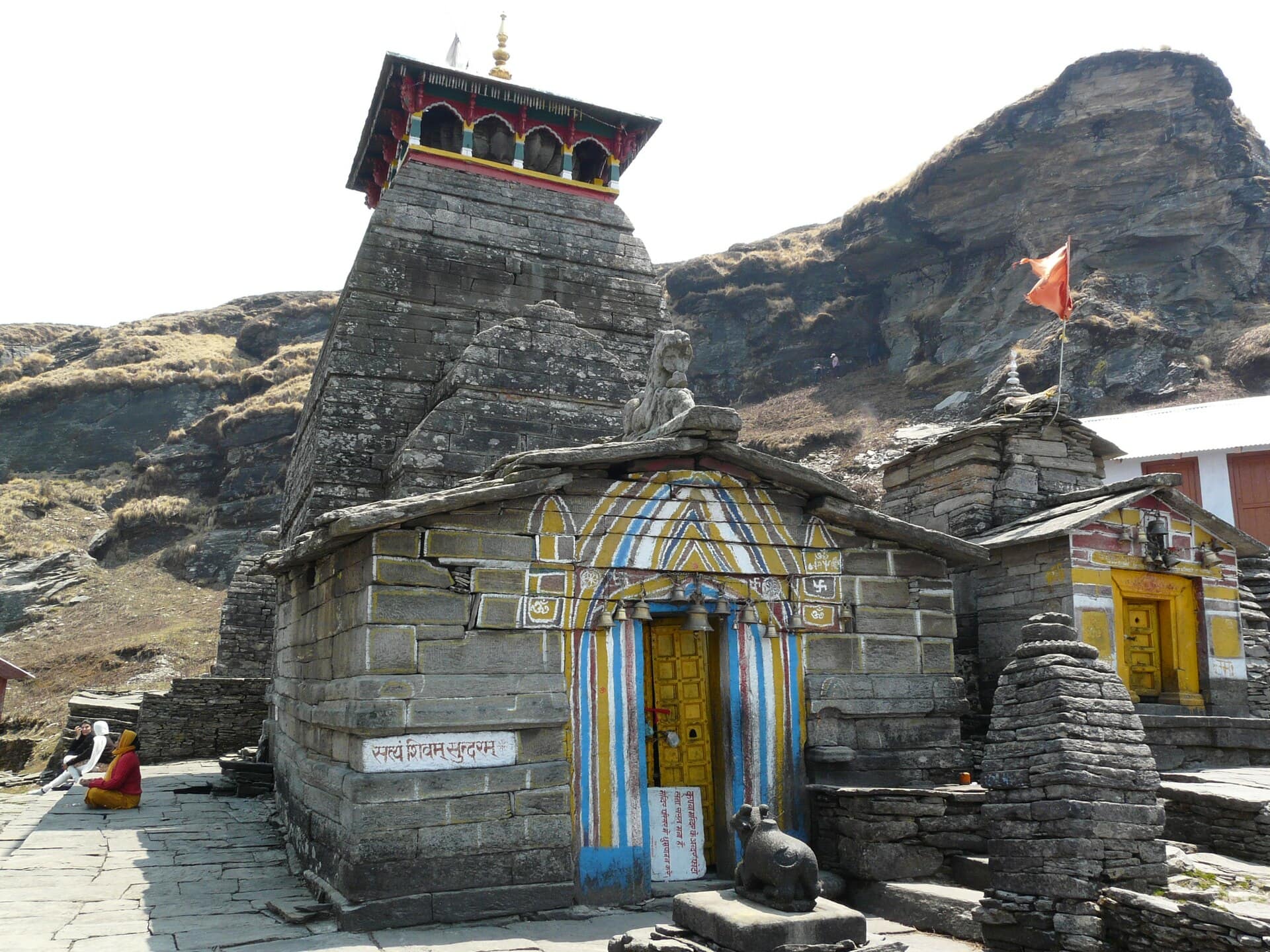
Tungnath Temple
- Best timeEarly morning, when the peaks behind the temple are clear and the courtyard is quiet; late afternoon for warm light on the grey stone.
- ColorsSaffronRedCream
For the feed
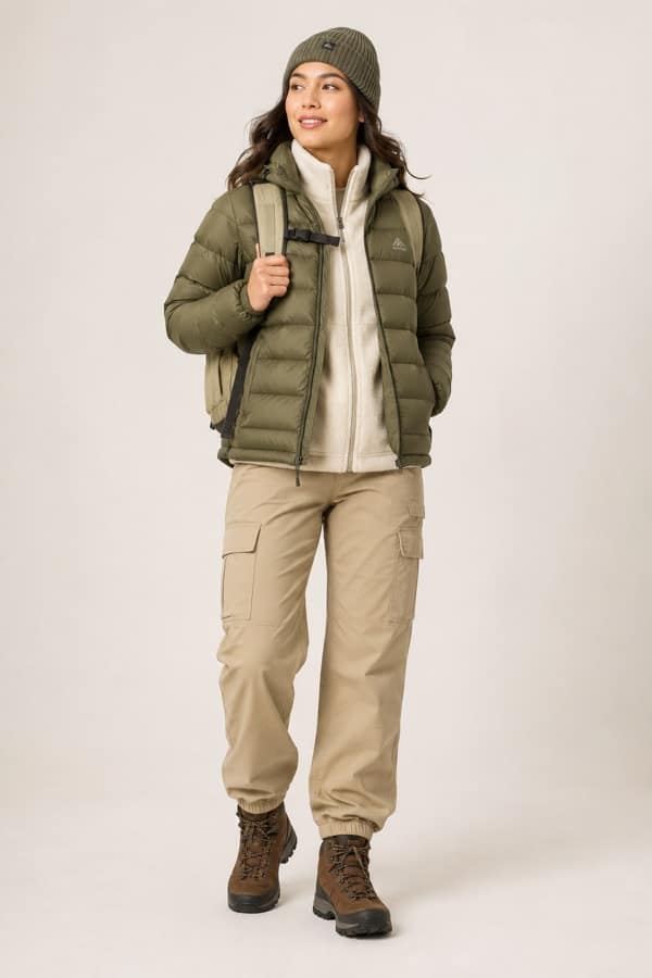
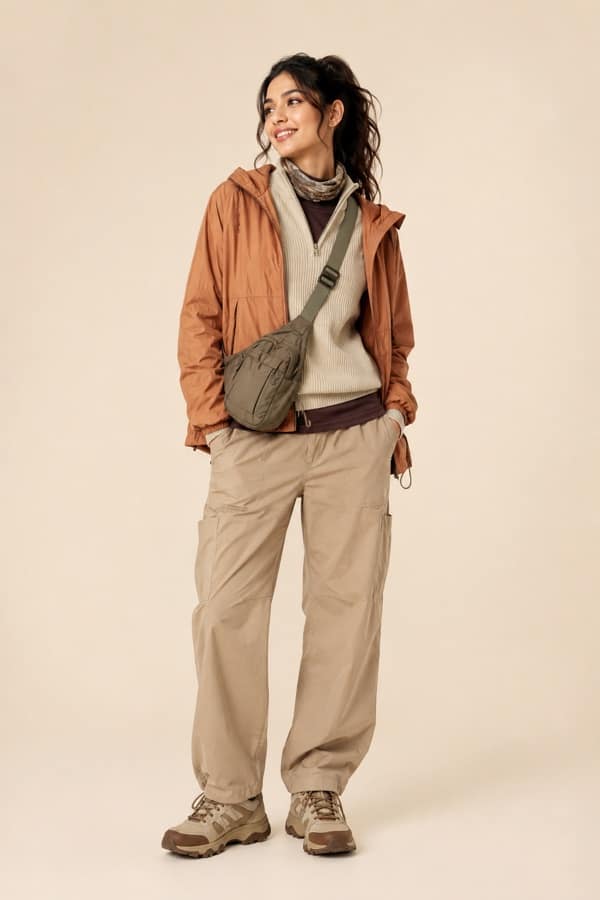
Trending Wear in Chopta
Modern, Instagram-friendly looks
Rooted in the city
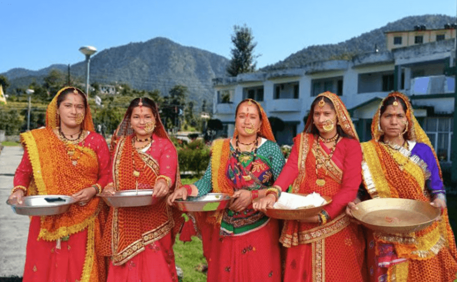
Chopta Traditional Wear
Local, cultural, handcrafted outfits
Taste the city
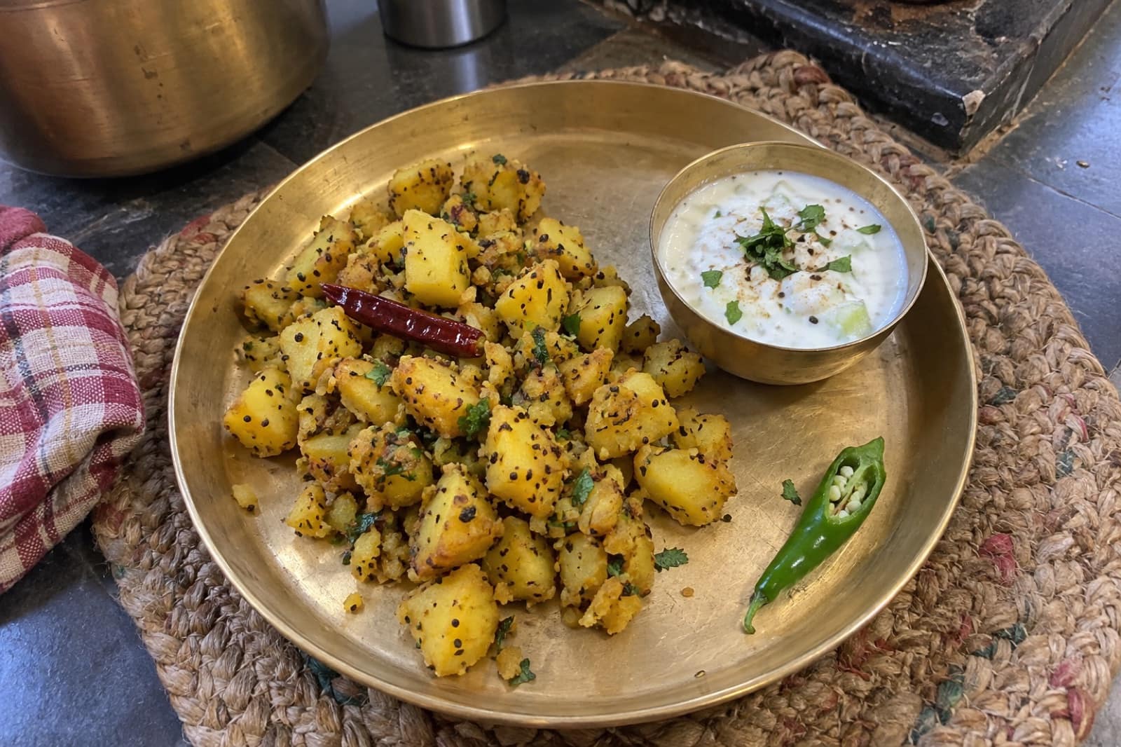
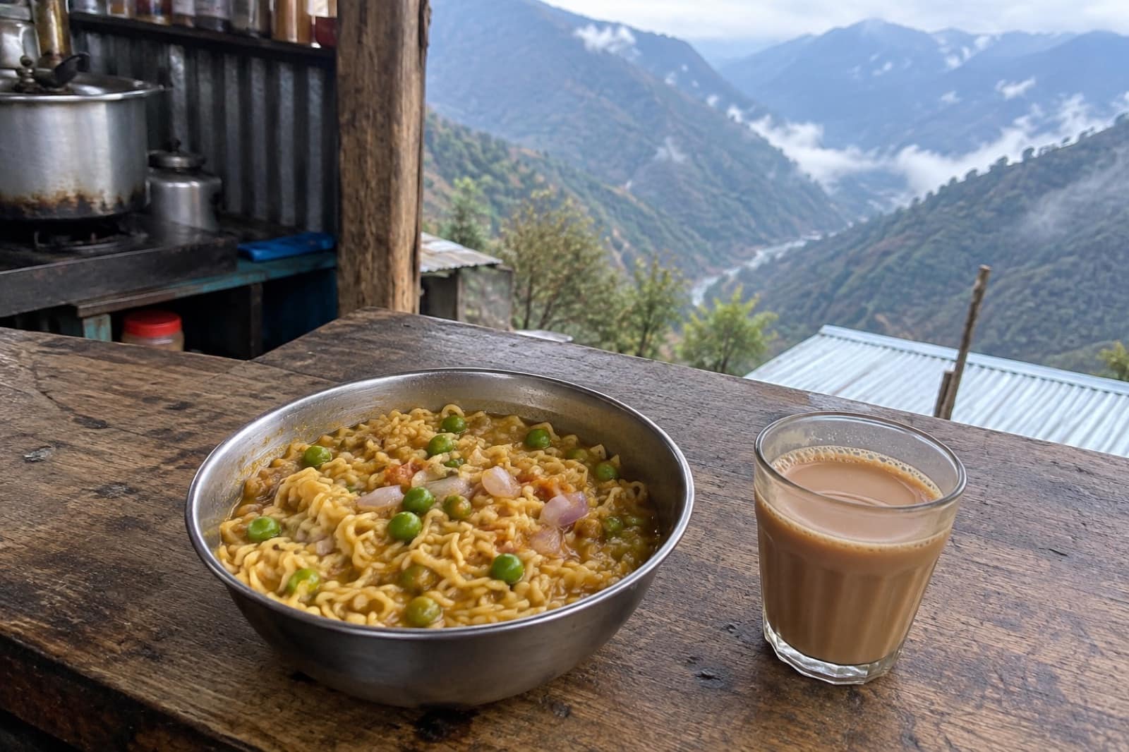
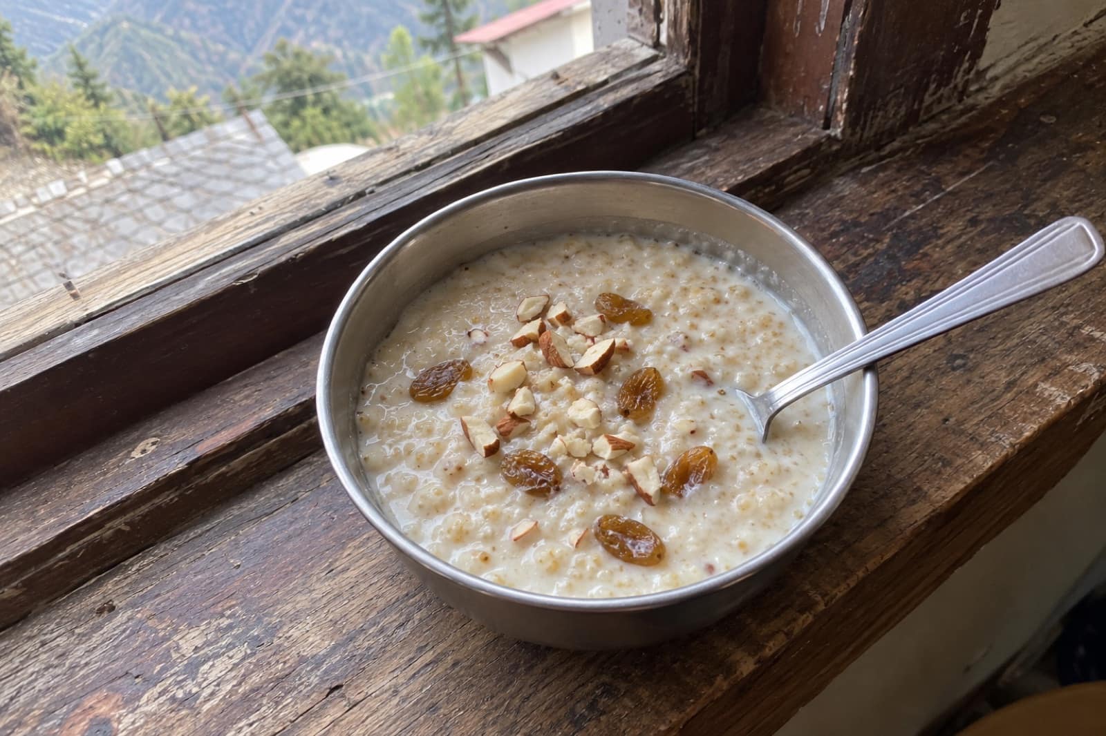
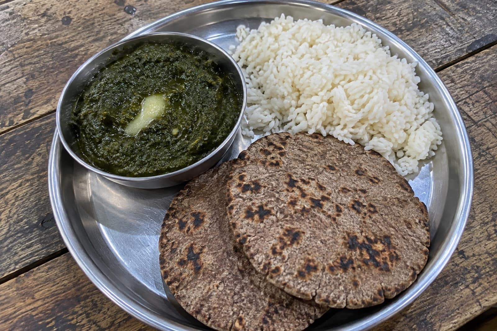
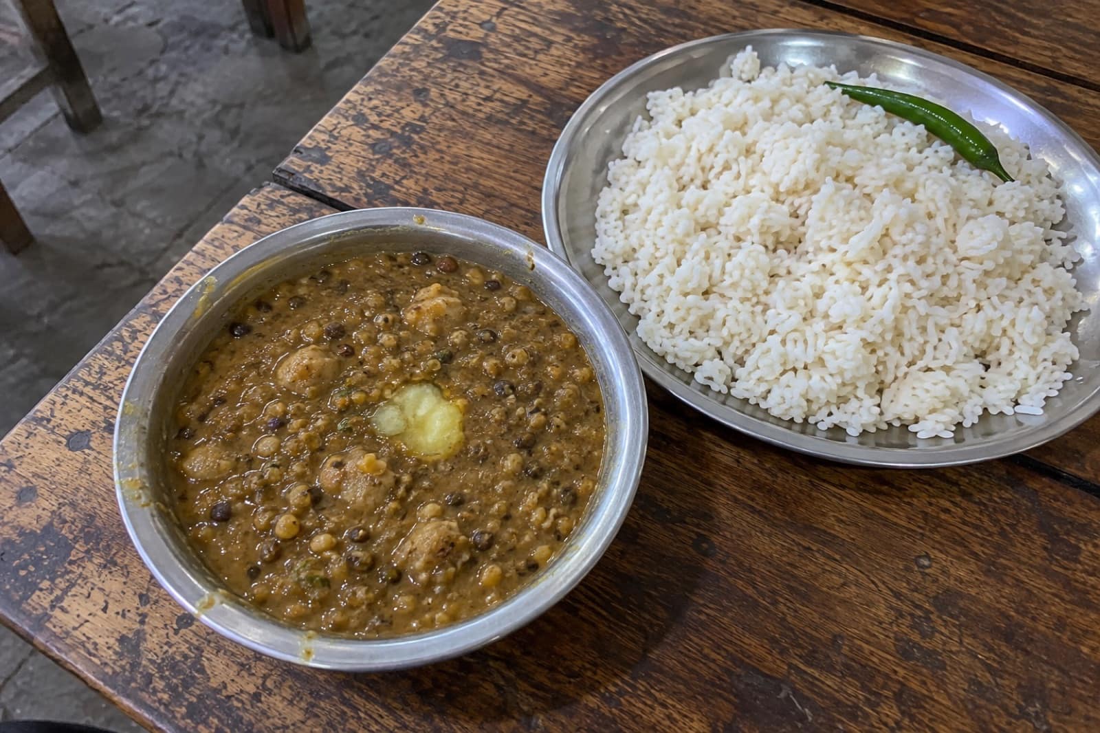
Food to Eat in Chopta
Trusted tables
Where to Eat in Chopta
 Representative photo
Chopta Meadows Dhaba
Chopta
 Representative photo
Deoria Tal Camp Kitchen
Sari / Deoria Tal
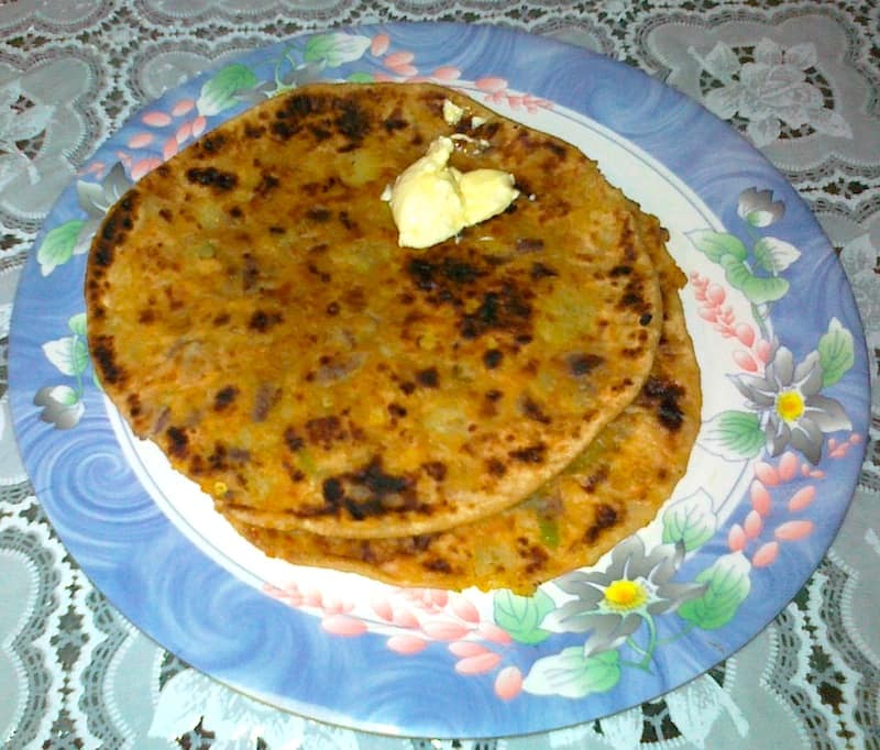 Representative photo
Sari Village Dhaba
Sari
Representative photoTungnath View Point Dhaba
Chopta
A roadside meadow at about 2,700 m
Chopta is not really a town. It is a stretch of the Ukhimath–Gopeshwar road in Rudraprayag district where the forest opens into grassy slopes, with a line of dhabas, tea stalls and small lodges along the tarmac. The whole area sits inside the Kedarnath Wildlife Sanctuary. People come here for one reason above all: it is the start of the path to Tungnath, the highest of the five Panch Kedar temples of Shiva, and to the summit of Chandrashila above it.
The Tungnath and Chandrashila walk
The path to Tungnath is about 3.5 km long and paved with stone for most of the way. It climbs steadily through rhododendron forest and then open grassland to the temple at about 3,680 m. Most fit walkers take two to three hours up. From the temple, a steeper and rougher path of about 1.5 km leads to Chandrashila, at close to 4,000 m. On a clear morning the summit shows a long line of snow peaks, from Chaukhamba and the Kedarnath range to Trishul and Nanda Devi.
Temple season and snow season
Tungnath's doors open in late April or early May and close in early November, on dates the temple committee announces each year. In 2026 they opened on 22 April. When the temple shuts, the deity is carried down to Makkumath, a village below Chopta, for the winter. From December to March the meadows lie under snow, and Chandrashila becomes a popular winter trek, done with a local guide. Heavy snow can close the road near Chopta for a day or more, so vehicles sometimes stop lower down at Dugalbitta or Baniyakund.
Beyond the main trail
Deoria Tal is a lake about 3 km above Sari village, famous for reflecting the Chaukhamba peaks on still mornings. Camping at the lake is no longer allowed; stay in Sari instead. East of Chopta, the forest of Kanchula Korak was set aside for the shy Himalayan musk deer. The Chopta meadows themselves turn red with rhododendron flowers in spring.
Before you go
Chopta has no ATM, no pharmacy worth the name and very patchy mobile signal. Carry enough cash from Ukhimath or further down, as small stalls may not accept UPI when the network drops. Power cuts are common, and rooms are basic. Bring a torch, warm layers in every month, and a rain shell from June to September, when landslides can block the hill roads. The best time to visit page covers each season in detail.
Questions
Chopta — FAQ
Is there an ATM in Chopta?
No. The nearest ATMs are down the road in Ukhimath, and they can run dry in busy weeks. Bring enough cash for your whole stay, as UPI often fails when the signal drops.
Can I visit Tungnath in winter?
The temple itself is shut from early November until late April or early May. You can still walk up in the snow with a local guide, and the deity can be visited at its winter seat in Makkumath.
How many days do I need in Chopta?
Two nights is a good minimum: one day for Tungnath and Chandrashila, and one for Deoria Tal from Sari. Add a spare day in winter or the monsoon, when roads can close.
Does the mobile phone work in Chopta?
Only in patches. BSNL and Jio are the networks most visitors report working, and even they drop out on parts of the trail. Tell people at home you may be out of touch.
Is the Tungnath trek hard?
It is short but steady, about 3.5 km of stone path with a big height gain. Most reasonably fit people manage it in two to three hours. The extra climb to Chandrashila is steeper and rougher.