
Meghalaya · India
Cherrapunji
One of the wettest places on earth — a Khasi-hills plateau of thundering waterfalls, cloud-filled canyons, limestone caves and the living root bridges of the rainforest below.
Cherrapunji (Sohra) is monsoon country: Nohkalikai and Seven Sisters falls, the ingenious living root bridges, Mawsmai caves, Khasi matrilineal culture, and jadoh.
Plan your trip
Cherrapunji Tour Itineraries
Timed, walkable day plans — plus the best season to go.
Where to shoot
Cherrapunji Photo Spots
 Medium crowd
Entry Nominal
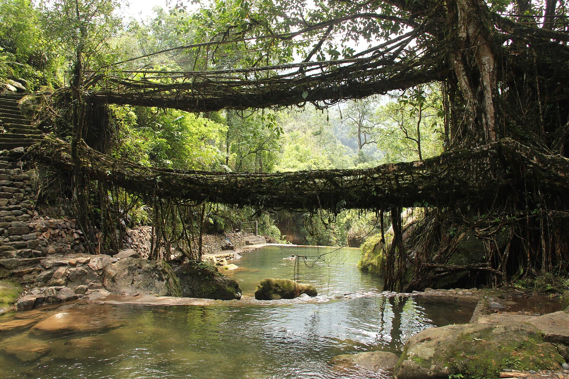
Double Decker Living Root Bridge
- Best timeEarly morning if you have stayed in Nongriat, before the day-trekkers arrive; late afternoon for soft, even light on the roots once the crowd has gone back up.
- ColorsRustWhiteForest green
Entry Free (zipline extra)
Mawkdok Dympep Valley
- Best timeEarly morning, when mist sits in the gorge and the ridges stand out in layers; late afternoon for warmer light on the green slopes.
- ColorsRustWhiteForest green
Entry Nominal
Mawsmai Cave
- Best timeMorning, soon after opening, before queues fill the narrow passages; midweek for more time to stop and shoot.
- ColorsRustWhiteOlive
 Medium crowd
Entry Nominal
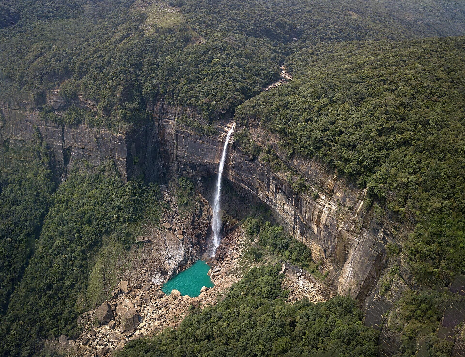
Nohkalikai Falls
- Best timeMorning, before noon, when the sun is on the falls and the gorge is often clear; September to November for the fullest flow.
- ColorsYellowWhiteForest green
 Medium crowd
Entry Free
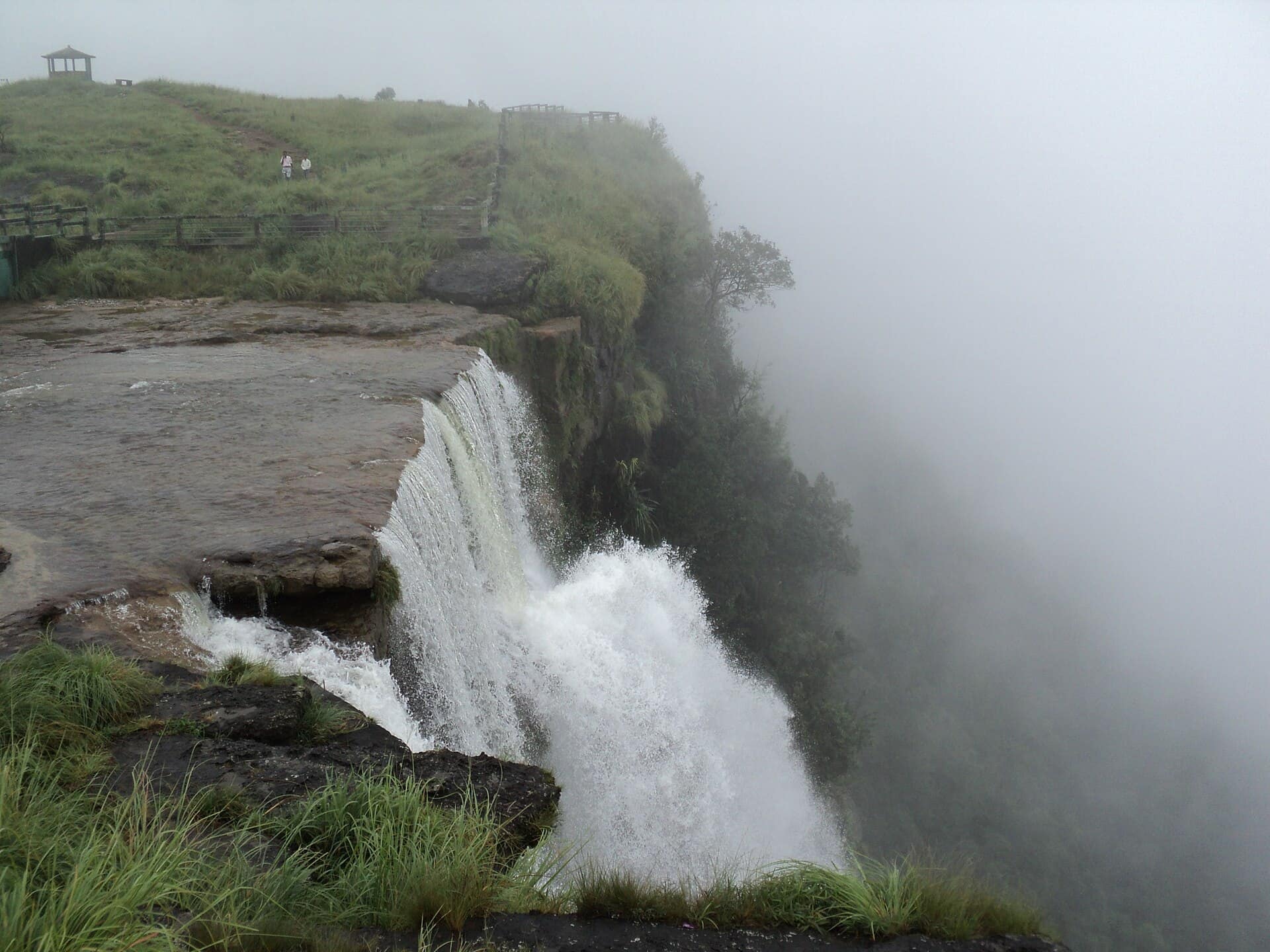
Seven Sisters Falls (Nohsngithiang)
- Best timeLate afternoon, when the setting sun lights the cliff and the streams; June to October for all seven running.
- ColorsYellowWhiteGreen
For the feed
Trending Wear in Cherrapunji
Modern, Instagram-friendly looks
Rooted in the city
Cherrapunji Traditional Wear
Local, cultural, handcrafted outfits
Taste the city
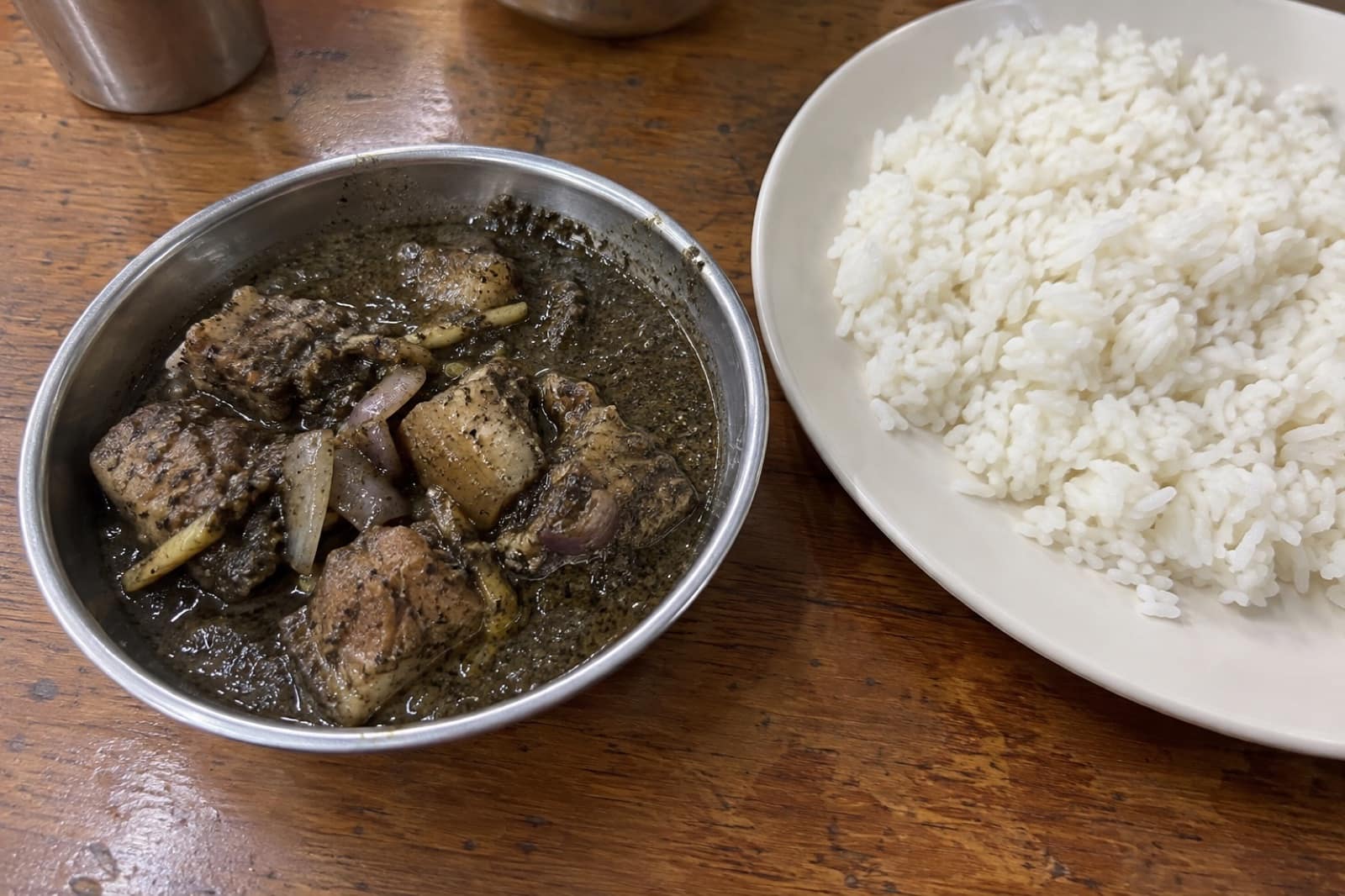
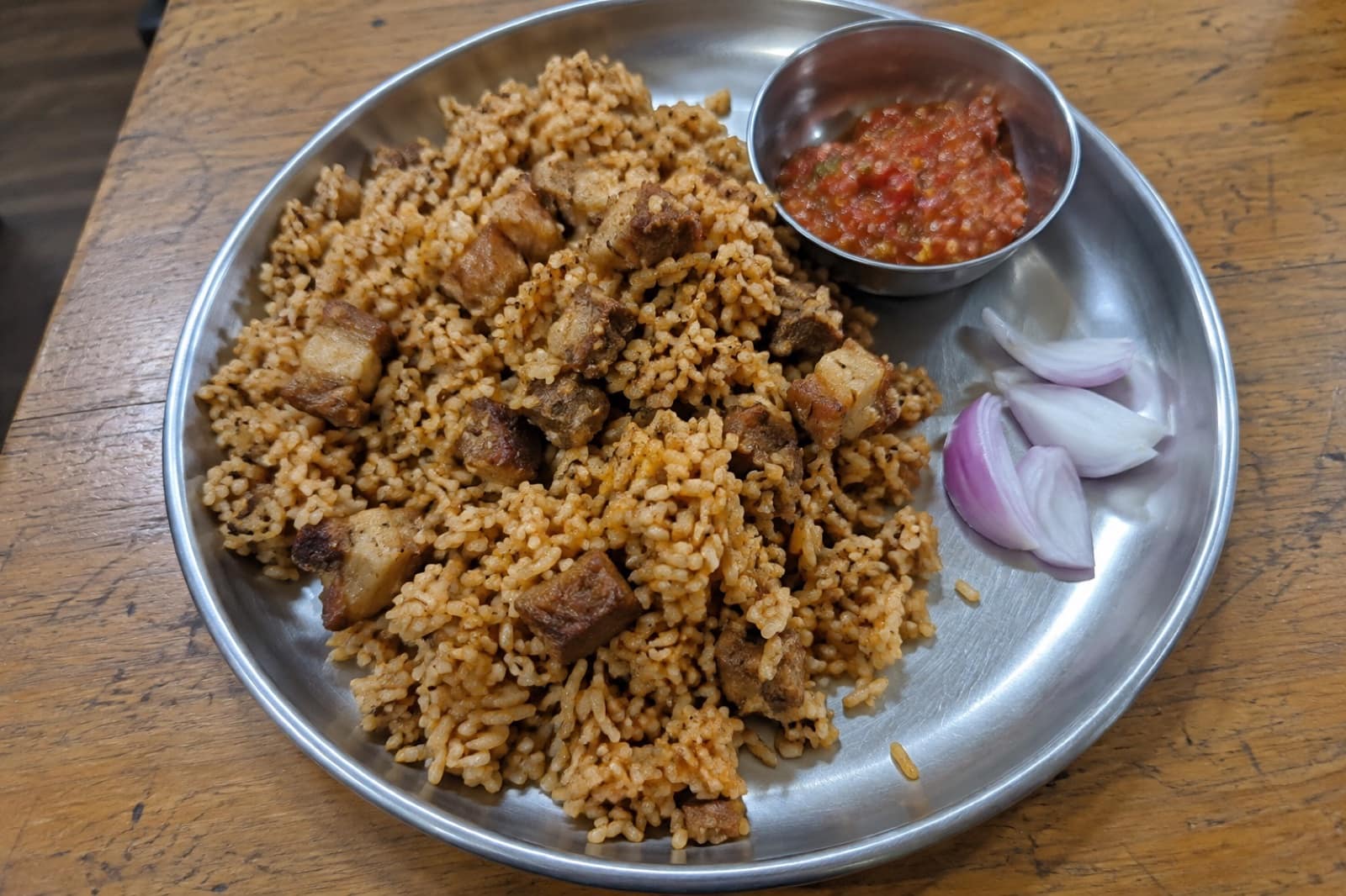
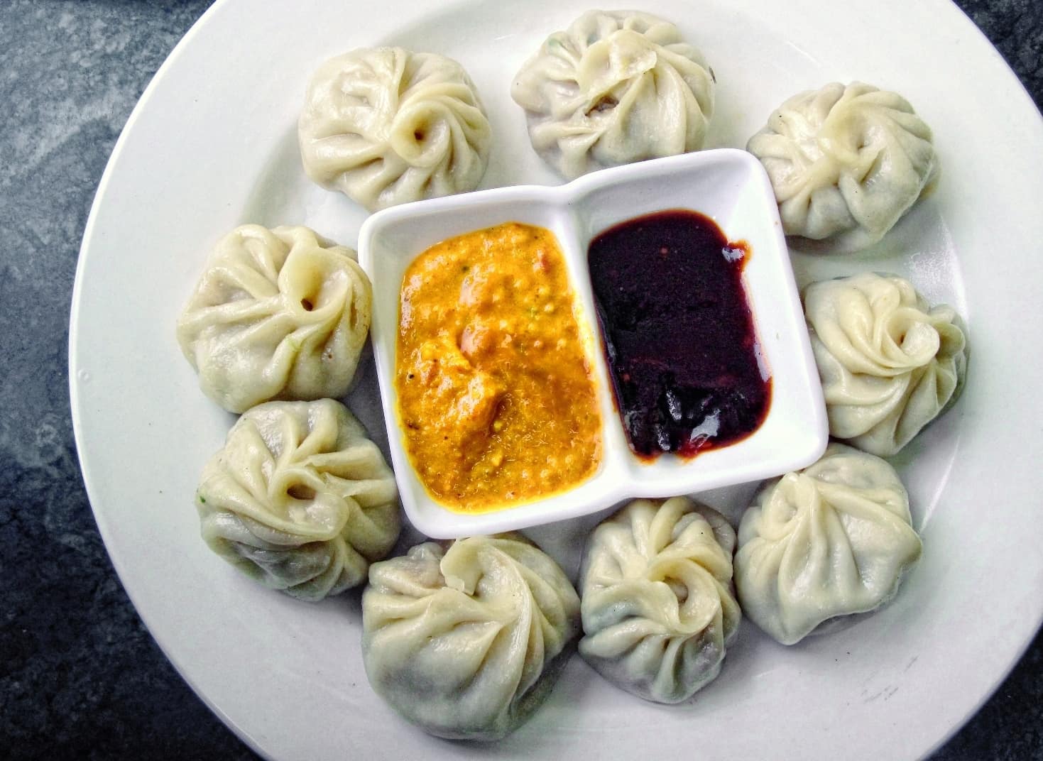
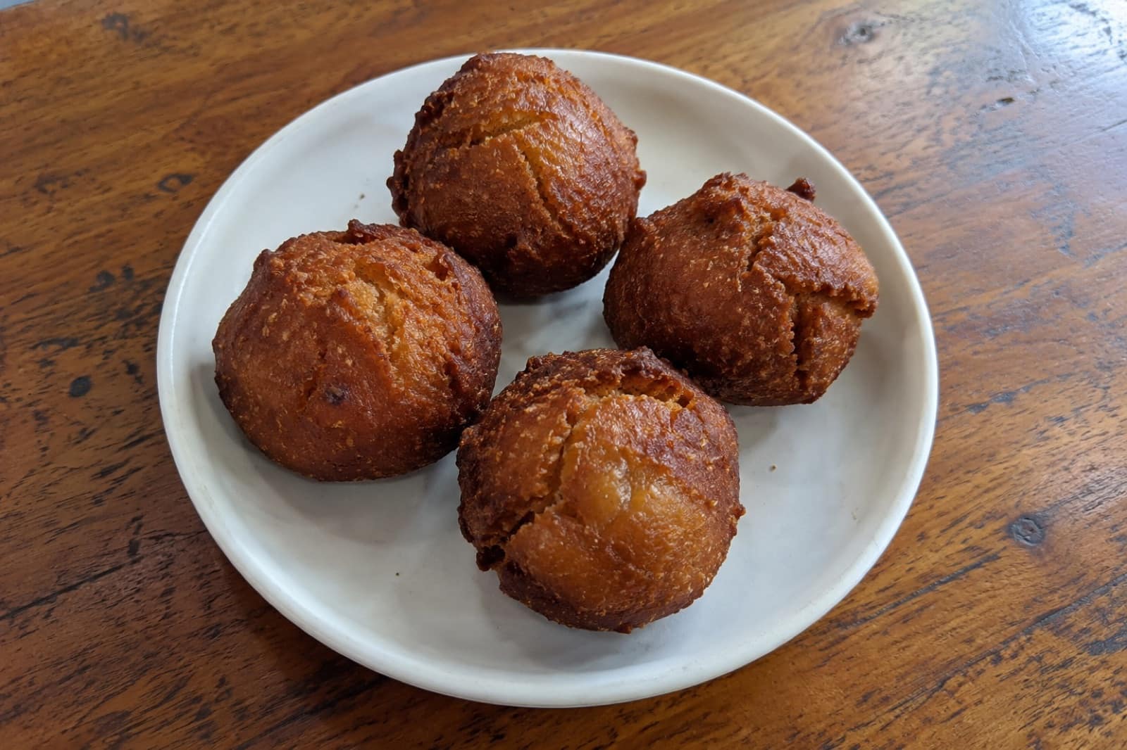
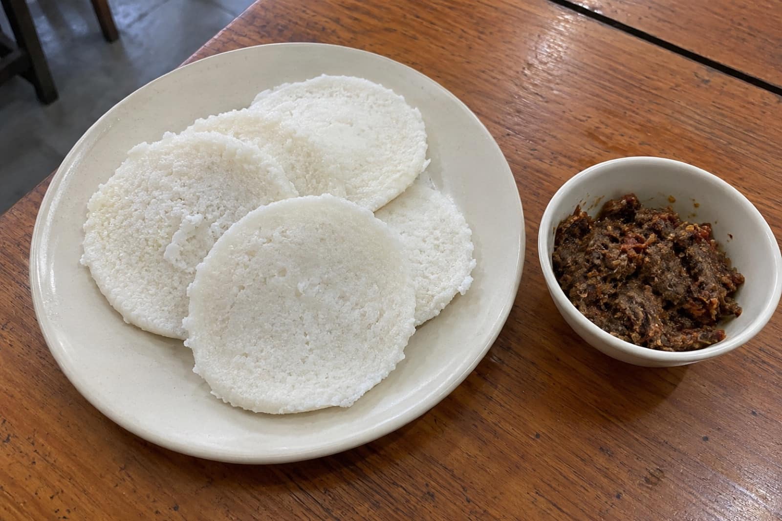
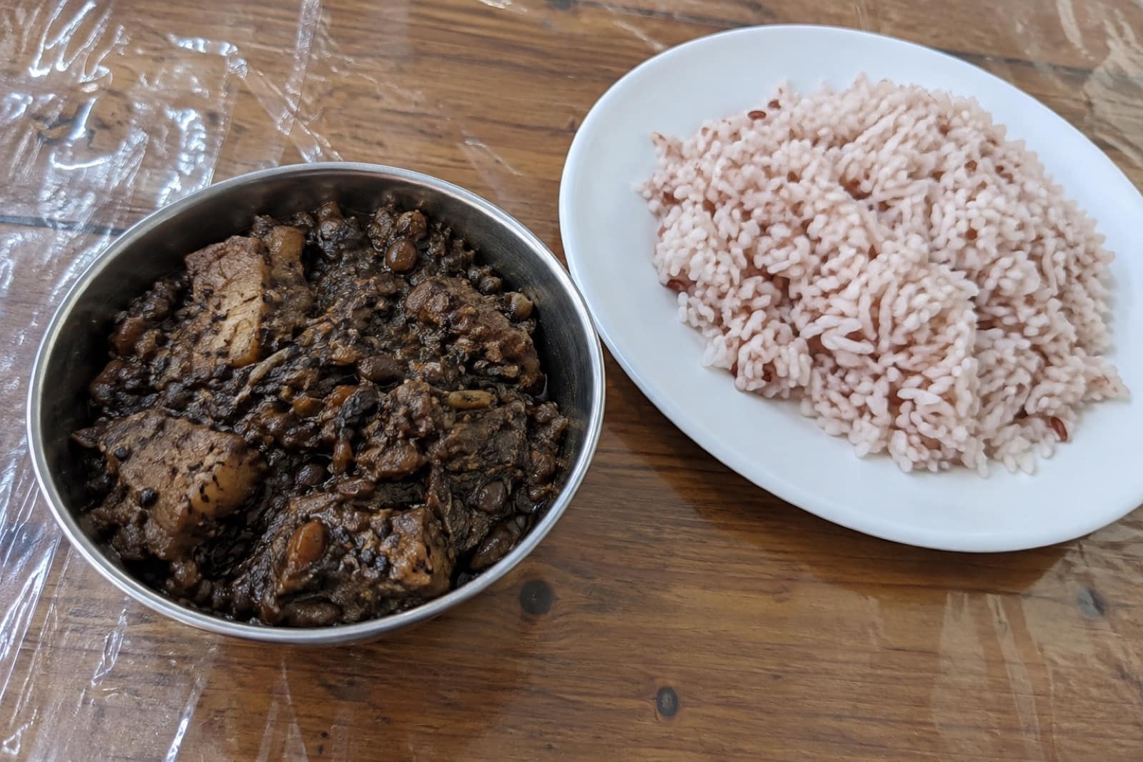
Food to Eat in Cherrapunji
Trusted tables
Where to Eat in Cherrapunji
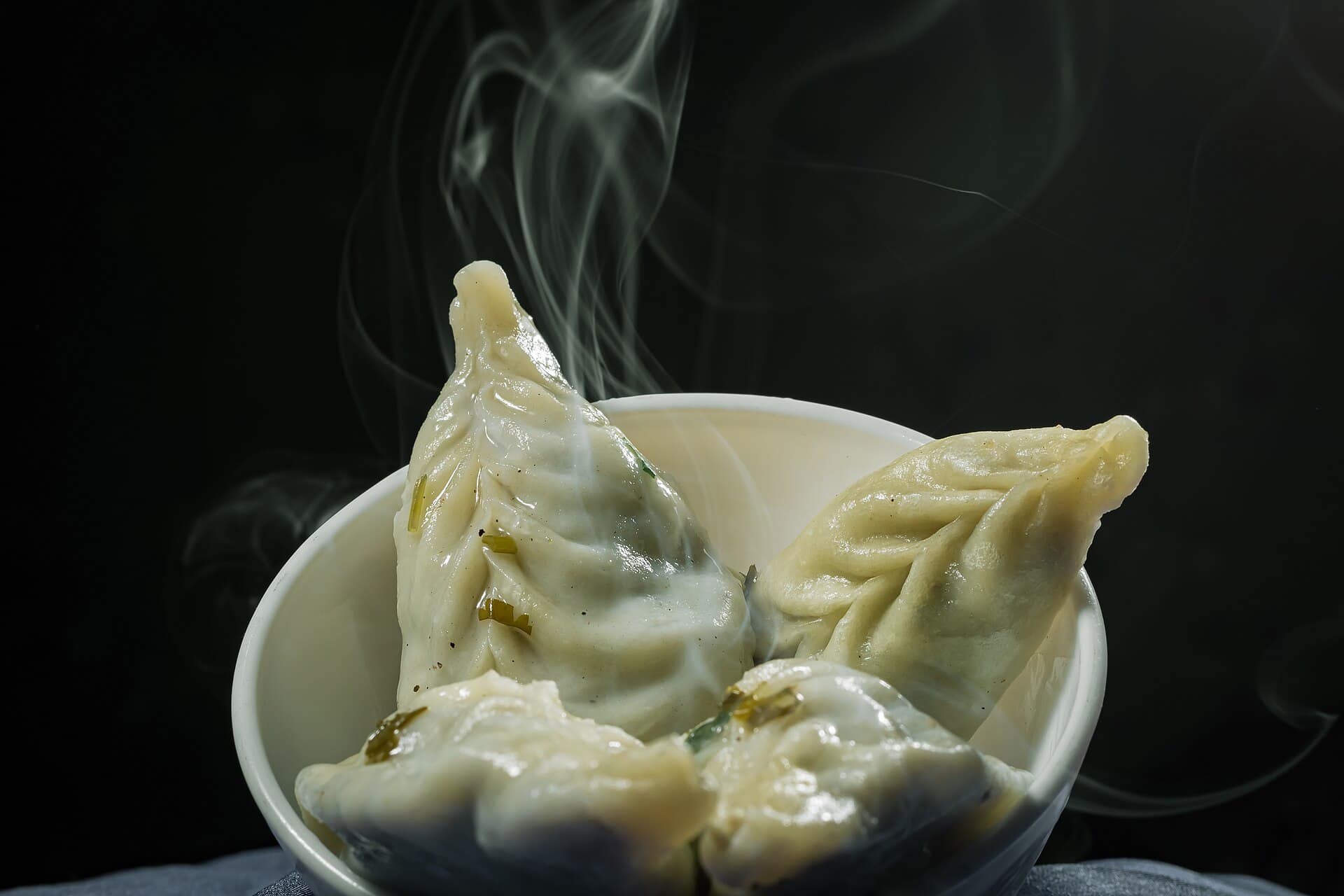 Representative photo
Café Cherrapunjee
Cherrapunjee Holiday Resort
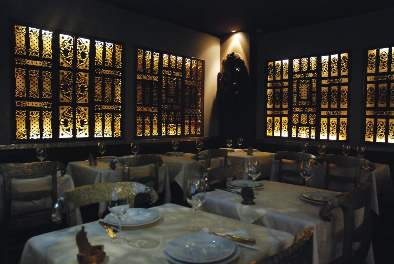 Representative photo
Nongriat Village Kitchen
Nongriat
Representative photoOrange Roots
Sohra
Representative photoSohra Jadoh Stall
Sohra market
Sohra first, Cherrapunji second
Cherrapunji is the name on most maps, but the people who live here call their town Sohra, and it has officially gone back to that name. "Cherra" was how 19th-century British officials heard the Khasi word, and the rest was added later by visitors from the plains. The town sits on a plateau at about 1,430 m in the southern Khasi Hills of Meghalaya. Its southern edge drops almost straight down towards the plains of Bangladesh, and that cliff line is where most of the sights are. Use the name Sohra, and say "khublei" for thank you. Both go down well.
How wet is it?
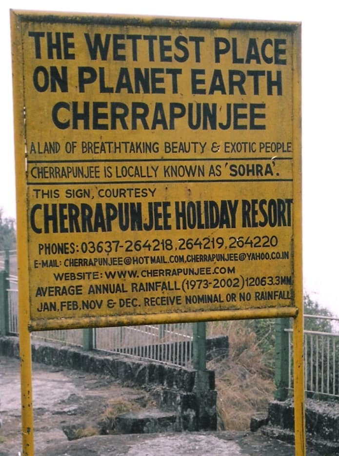
Sohra still holds the records for the most rain in a single month (July 1861) and in a single year (August 1860 to July 1861). Its yearly average is now just behind nearby Mawsynram. June and July are the wettest months, and in practice rain can come any time from April to October. Most monsoon rain falls in the morning. November to February is dry, and the bare plateau top can look surprisingly brown. Despite all that rain, the town runs short of drinking water in winter.
How the town is laid out
Sohra is really a cluster of villages. Upper Sohra has the market and the shared-taxi stand; Lower Sohra, around Saitsohpen, is about 4 km south. The sights sit at the edges of the plateau, too far apart to walk between. Nohkalikai Falls is to the west. Mawsmai Cave and Seven Sisters Falls are close together near Mawsmai village. The steps down to the Double Decker root bridge start at Tyrna, and Mawkdok Dympep Valley is on the road in from Shillong. Hire a local taxi for the day.
Getting here
Sohra has no airport or railway. Shillong is about two hours away by road, and shared Sumos run between Shillong and Sohra market. Guwahati is the nearest major airport and railway station. Many people come on a day trip from Shillong, but the root bridge trek alone takes most of a day, so stay at least one night.
People, church and Sundays
The Khasi people who live here are matrilineal: children take their mother's surname. Most people are Christian. Welsh missionaries arrived in Sohra in 1841 and wrote the Khasi language in the Roman alphabet for the first time. Sunday is for church, and many shops and eateries close or open late, so stock up on Saturday. Ask before photographing anyone.
Eating
Khasi cooking is built on rice and pork. Try jadoh, doh-neiiong and tungrymbai, and look for pukhlein with tea. See what to eat, where to eat and the best time to visit.
Questions
Cherrapunji — FAQ
Is Cherrapunji the same place as Sohra?
Yes. Sohra is the original Khasi name and the one locals use. Cherrapunji grew out of the British pronunciation "Cherra", and the town has officially gone back to Sohra. Signs, buses and maps may use either.
Is Cherrapunji still the wettest place on earth?
Not on average. Nearby Mawsynram now gets slightly more rain each year. Sohra still holds the records for the most rain in one month and in one year, both set in 1860–61.
Can I see Cherrapunji on a day trip from Shillong?
You can see the viewpoints, Mawsmai Cave and the waterfalls in a long day by taxi. The Double Decker root bridge trek takes most of a day on its own, so plan at least one night in Sohra if you want both.
What language do people speak in Sohra?
Khasi. Many people also speak some English or Hindi, but not everyone speaks both, so taxi drivers and homestay hosts are often your best interpreters.
How many days do I need in Sohra?
Two days suit most visitors: one for the falls, the cave and the viewpoints, and one for the trek down to Nongriat. Add a third if you want to stay in Nongriat and walk on to Rainbow Falls.