
Ladakh · India
Pangong Tso
A breathtaking high-altitude lake at ~4,350 m stretching from Ladakh into Tibet — its waters shifting through astonishing blues and greens against barren mountains, reached over the Chang La pass.
Pangong is high-lake Ladakh: the colour-shifting endorheic lake, lakeside camps at Spangmik and Merak, the Chang La pass, Changpa nomads and their pashmina goats, and simple Ladakhi camp food.
Plan your trip
Pangong Tso Tour Itineraries
Timed, walkable day plans — plus the best season to go.
Where to shoot
Pangong Tso Photo Spots
 Medium crowd
Entry Free
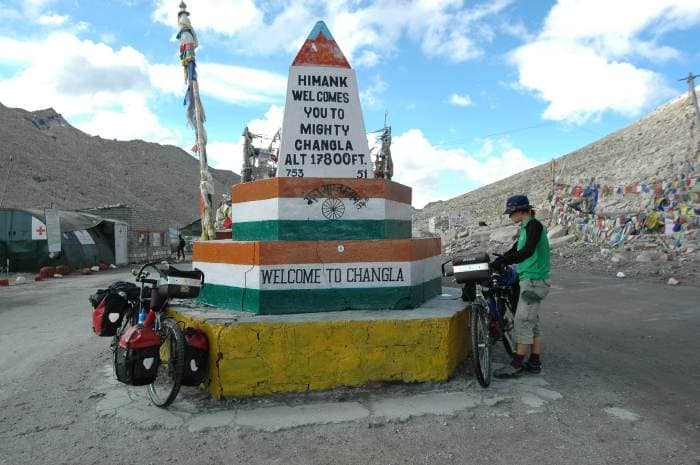
Chang La
- Best timeLate morning on the way to the lake, when the sun lights the snow and prayer flags; early afternoon on the way back, before cloud and wind build.
- ColorsRedBlackWhite
 Medium crowd
Entry Free
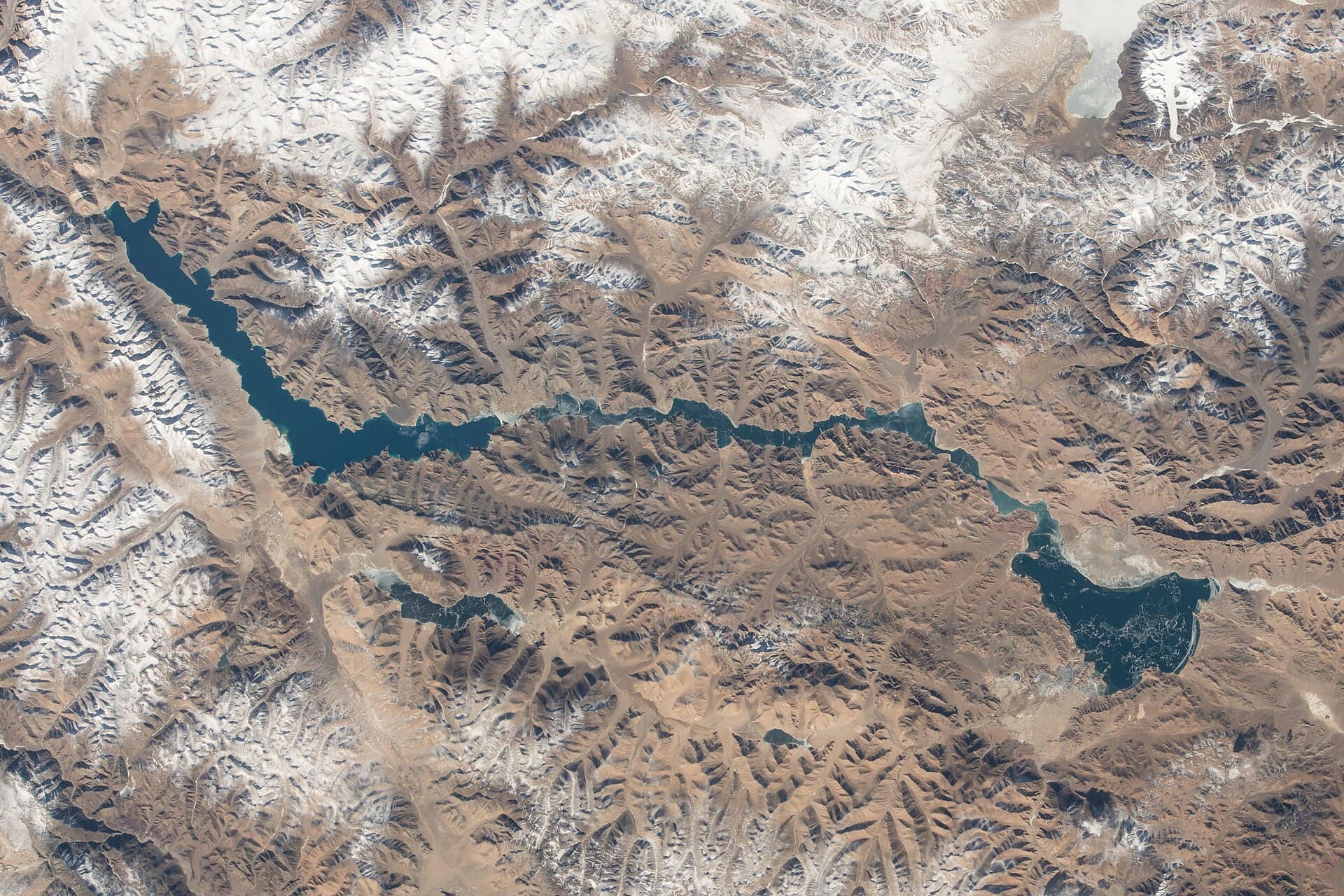
Lukung
- Best timeLate morning, when the sun lights the water and the first turquoise shows at the lake's edge; late afternoon for soft light on the brown hills.
- ColorsCobaltCreamRust
 Medium crowd
Entry Free
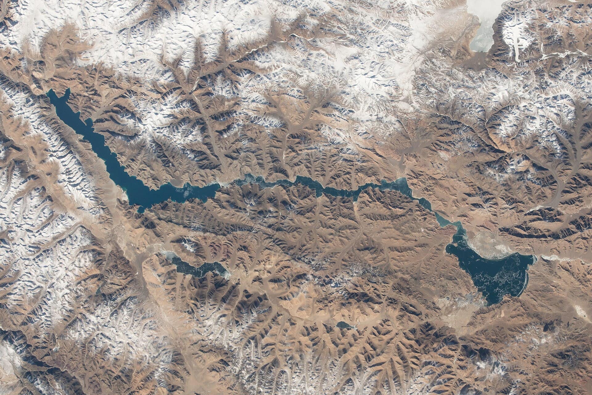
Pangong Sunrise Point
- Best timeDawn, about half an hour before sunrise, for pink light on the peaks and still reflections; the first hour after sunrise for colour coming into the water.
- ColorsCobaltRustCream
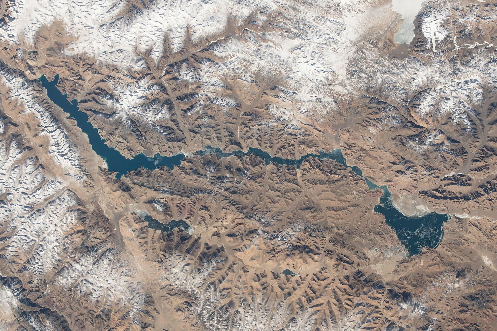 High crowd
Entry Free (inner-line permit)
Pangong Tso
- Best timeLate morning to mid-afternoon on a clear day, when strong sun brings out the turquoise and dark blue bands in the water.
- ColorsCobaltCreamRust
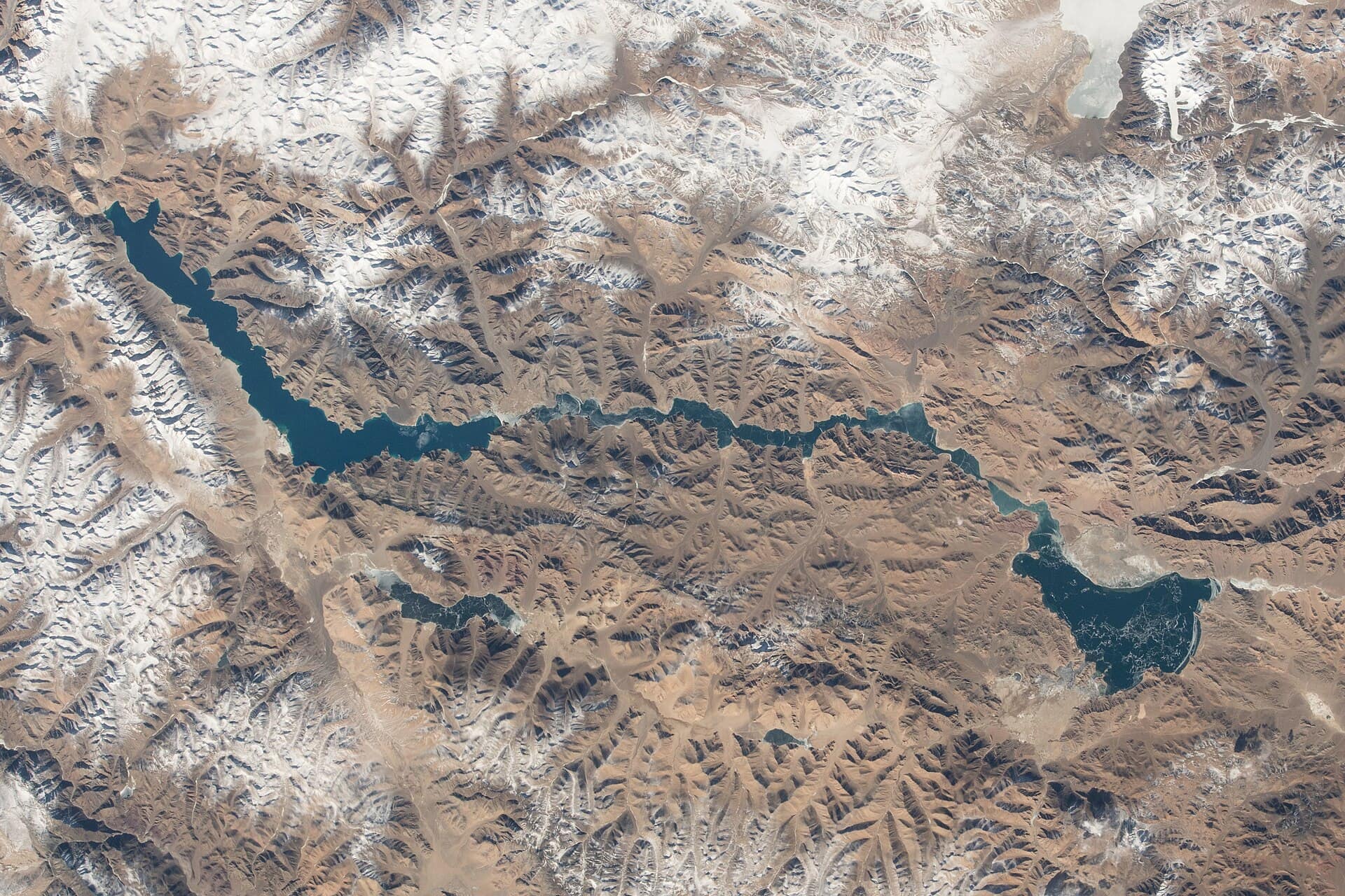 Medium crowd
Entry Free
Spangmik
- Best timeEarly morning for still water and quiet camps; late afternoon for warm light on the peaks across the lake.
- ColorsCobaltCreamRust
For the feed
Trending Wear in Pangong Tso
Modern, Instagram-friendly looks
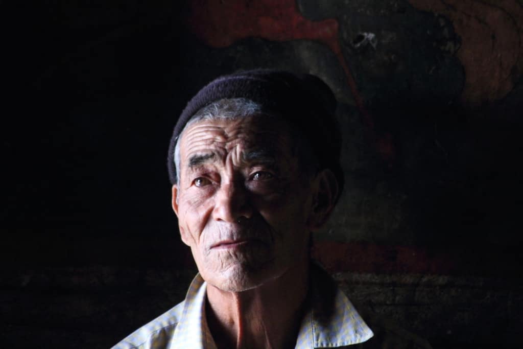
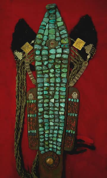
Rooted in the city
Pangong Tso Traditional Wear
Local, cultural, handcrafted outfits
Taste the city
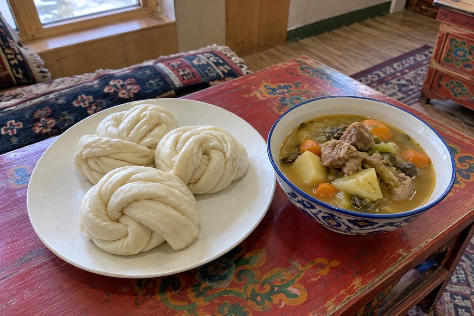
Food to Eat in Pangong Tso
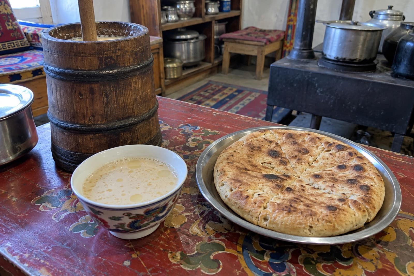
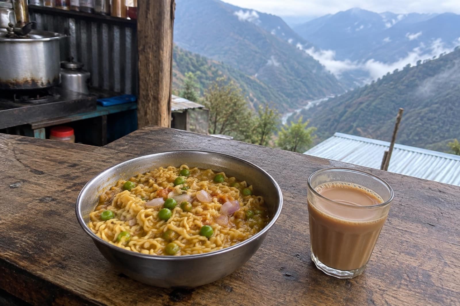
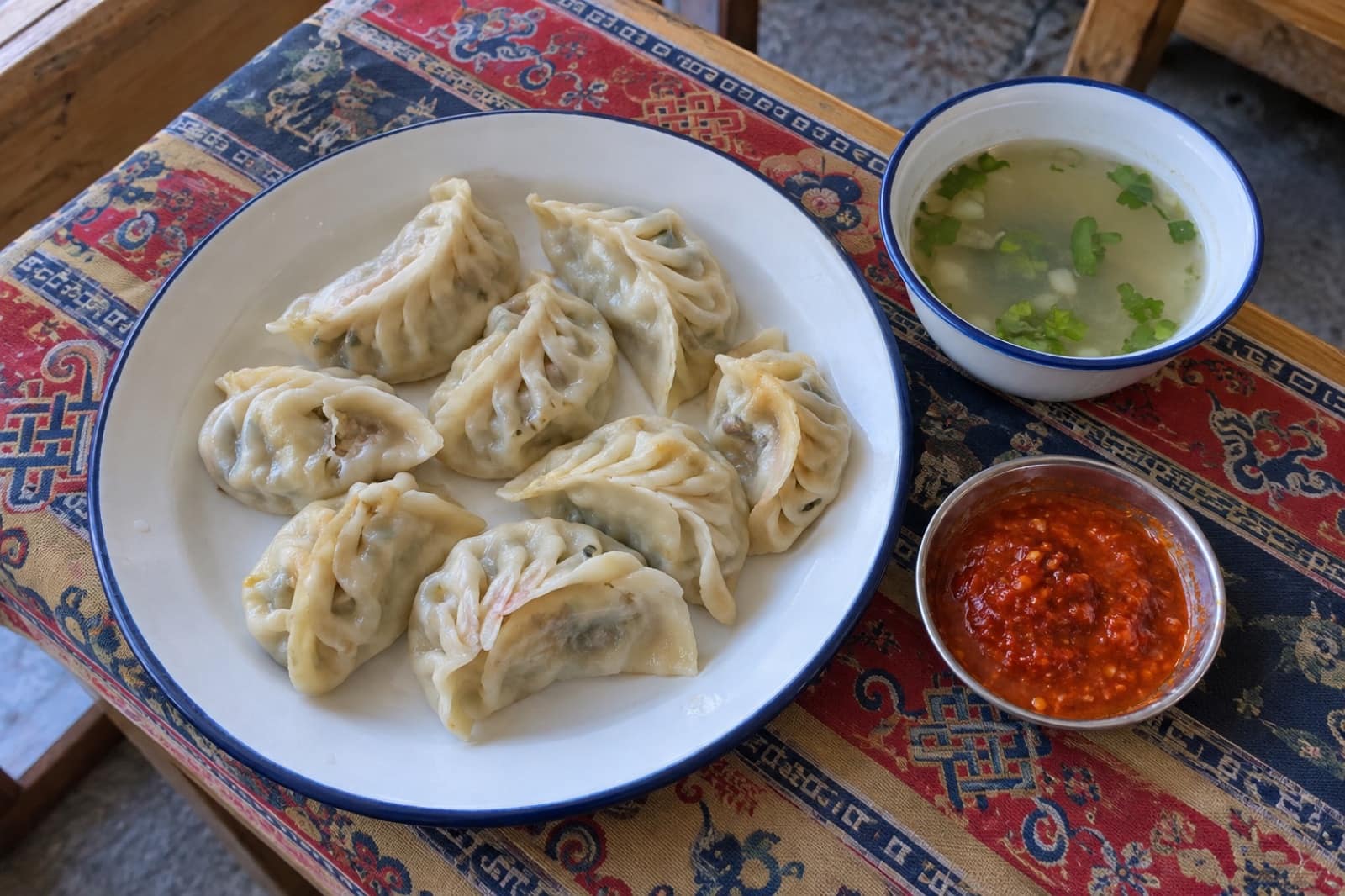
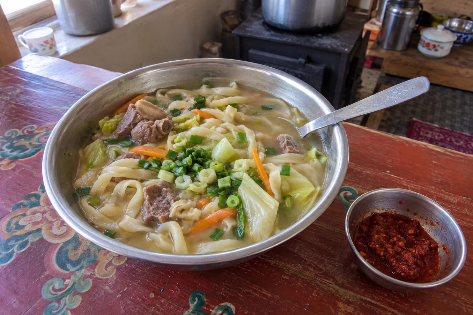
Trusted tables
Where to Eat in Pangong Tso
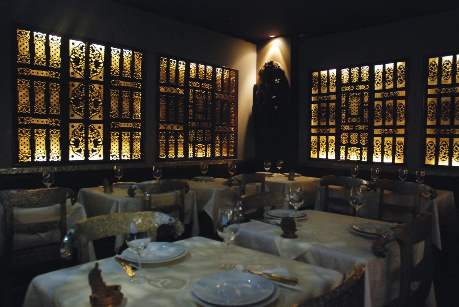 Representative photo
Chang La Army Canteen
Chang La
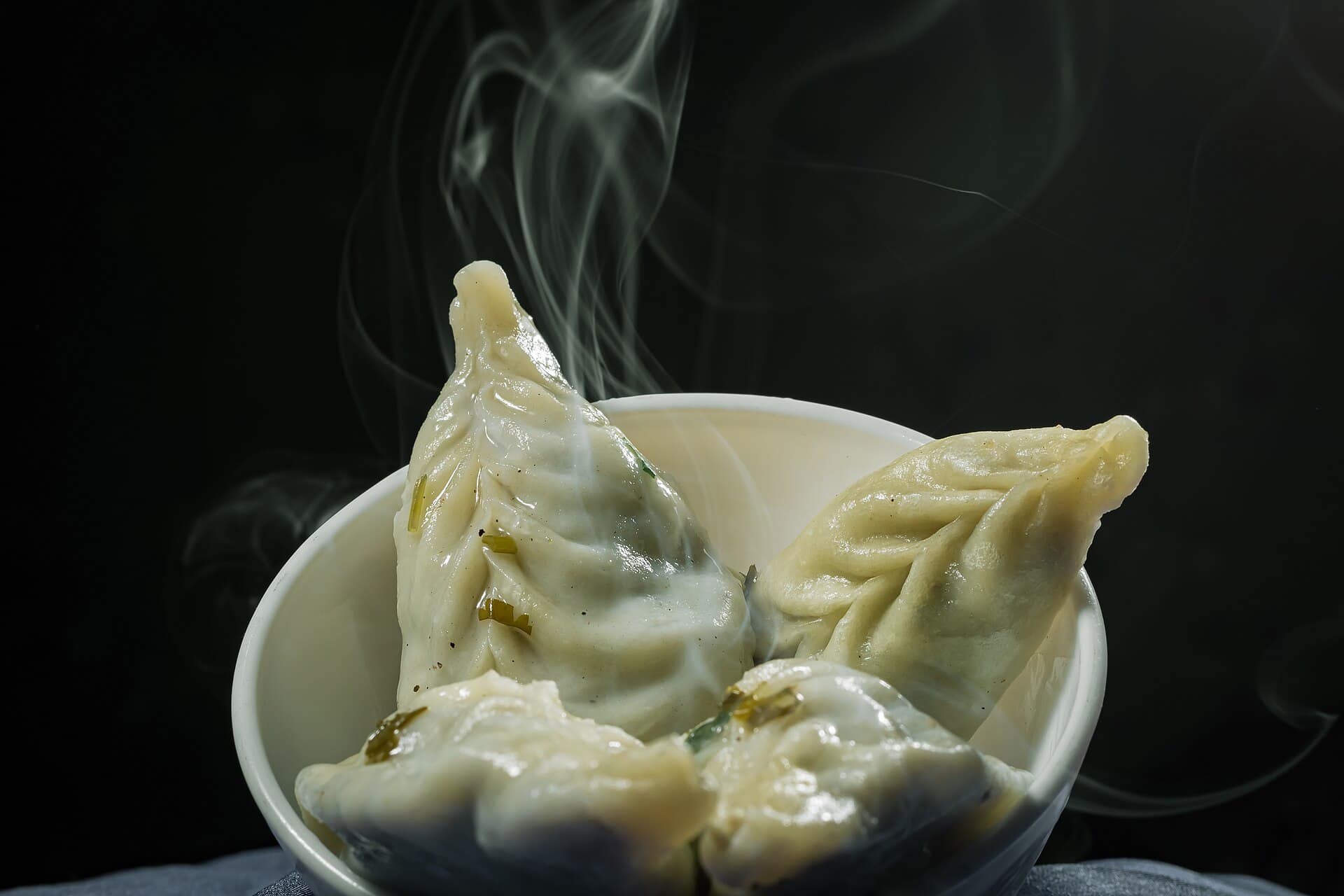 Representative photo
Lukung Tent Kitchen
Lukung
Representative photoPangong Camp Kitchen
Spangmik
Representative photoSpangmik Dhaba
Spangmik
A lake split by a border
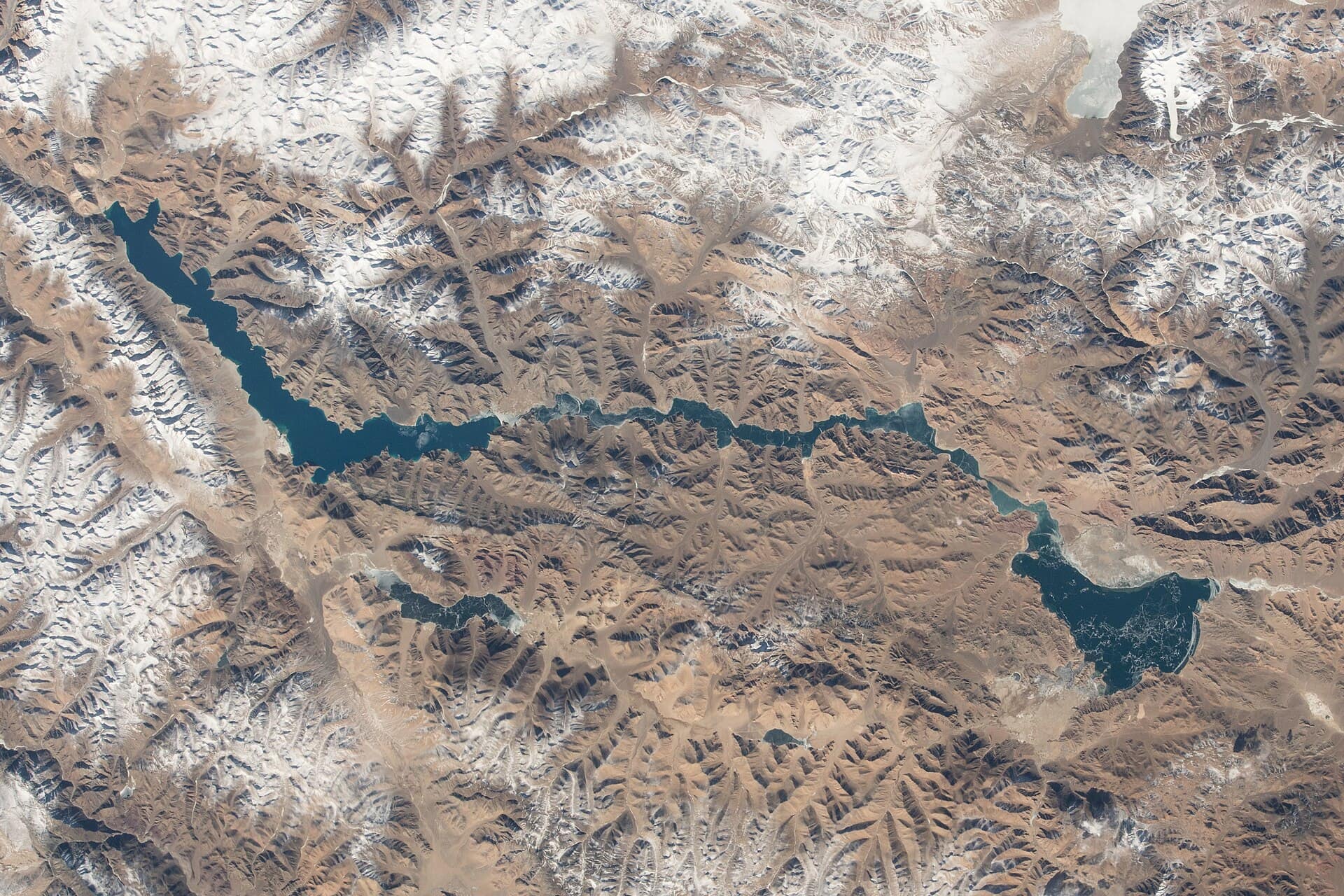
Pangong Tso is a long, narrow salt lake in eastern Ladakh, at about 4,300 m. It runs roughly 134 km from Ladakh into Tibet, and only around a third of it lies on the Indian side; the Line of Actual Control crosses the water. The lake has no outlet and freezes solid in winter. People come for the colour: bands of turquoise, deep blue and grey-green that shift with the sun, the cloud and the depth, laid against bare brown mountains.
Getting there
The lake is about 140 to 160 km from Leh, usually five to six hours by car over Chang La, a pass above 5,300 m. The road reaches the water at Lukung, then follows the southern shore to Spangmik and on to the villages of Man and Merak. A road from Nubra via Shyok is also used when it is in good repair; ask in Leh before you plan around it. Most visitors hire a car and driver in Leh. There is no fuel at the lake and mobile signal is weak, with BSNL the most likely to work.
Permits and altitude
The Leh administration asks every visitor to spend 48 hours acclimatising in Leh before going higher, and Pangong counts as higher. Indian visitors no longer need an Inner Line Permit, but they pay an online environment and wildlife fee on the LAHDC Leh permit portal. Foreign nationals need a Protected Area Permit, arranged through a registered travel agent in Leh. Carry printed copies, because they are checked on the road. The rules have changed before, so confirm them when you arrive.
Where to stay
Pitching your own tent on the shore has been banned since 2018. You stay in licensed camps or homestays set back from the water in Lukung, Spangmik, Man and Merak. Power often runs only for a few hours in the evening. Book ahead for July and August.
Day trip or one night?
A same-day return from Leh means ten or more hours in the car and a short stop in harsh midday light. Staying one night gives you sunset, a sky full of stars and the sunrise shore. It also means sleeping at 4,300 m, which is harder on the body than a visit. If you slept badly in Leh, keep it to a day trip.
Look after the lake
Boating is not allowed on the Indian side. Do not fly a drone, and do not photograph army posts or vehicles. Take your rubbish back to Leh. In summer the lake is a breeding ground for bar-headed geese, ruddy shelducks and gulls, so keep off the marshy edges.
When to go
Camps usually open in late May or June and start closing from mid-October. The best time to visit page goes through the months, including the frozen lake in February.
Questions
Pangong Tso — FAQ
Can I visit Pangong Tso as a day trip from Leh?
Yes, but it is a long day: five to six hours each way over Chang La, leaving only a couple of hours at the lake. It suits people who acclimatised well in Leh but slept poorly there, since it avoids a night at 4,300 m.
Do I need a permit for Pangong Tso?
Indian visitors pay an online environment and wildlife fee through the LAHDC Leh permit portal instead of an Inner Line Permit. Foreign nationals need a Protected Area Permit through a registered agent. Carry printed copies for the checkpoints.
Can I camp on the lakeshore with my own tent?
No. Camping on the open shore has been banned since 2018. Stay in a licensed camp or homestay in Lukung, Spangmik, Man or Merak.
Is there mobile signal at Pangong?
Only patchy signal. BSNL works most often, other networks may reach Spangmik on and off, and Merak often has none. Tell people at home before you leave Leh.
Can I go boating on Pangong Tso?
No. Boating is not permitted on the Indian side of the lake for security reasons.