
Jharkhand · India
Netarhat
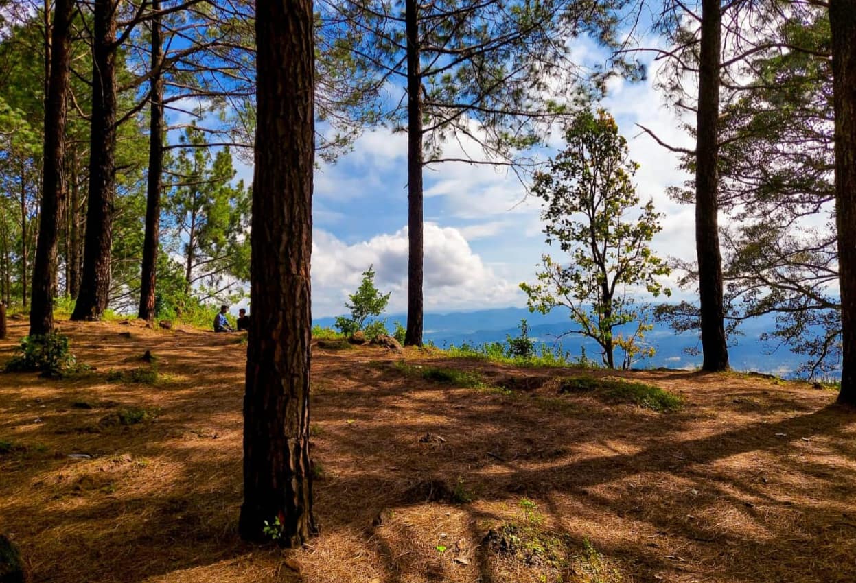
The 'Queen of Chotanagpur' — a serene hill station on the Jharkhand plateau famed for its glowing sunrises and sunsets over pine-and-sal forests, waterfalls and a historic residential school.
Netarhat is plateau-hill Jharkhand: the celebrated Magnolia sunset point and Koel-view sunrise, the Ghaghri falls, cool pine forests, tribal Chotanagpur culture, and rustic Jharkhandi food.
Plan your trip
Netarhat Tour Itineraries
Timed, walkable day plans — plus the best season to go.
Where to shoot
Netarhat Photo Spots
 Low crowd
Entry Free
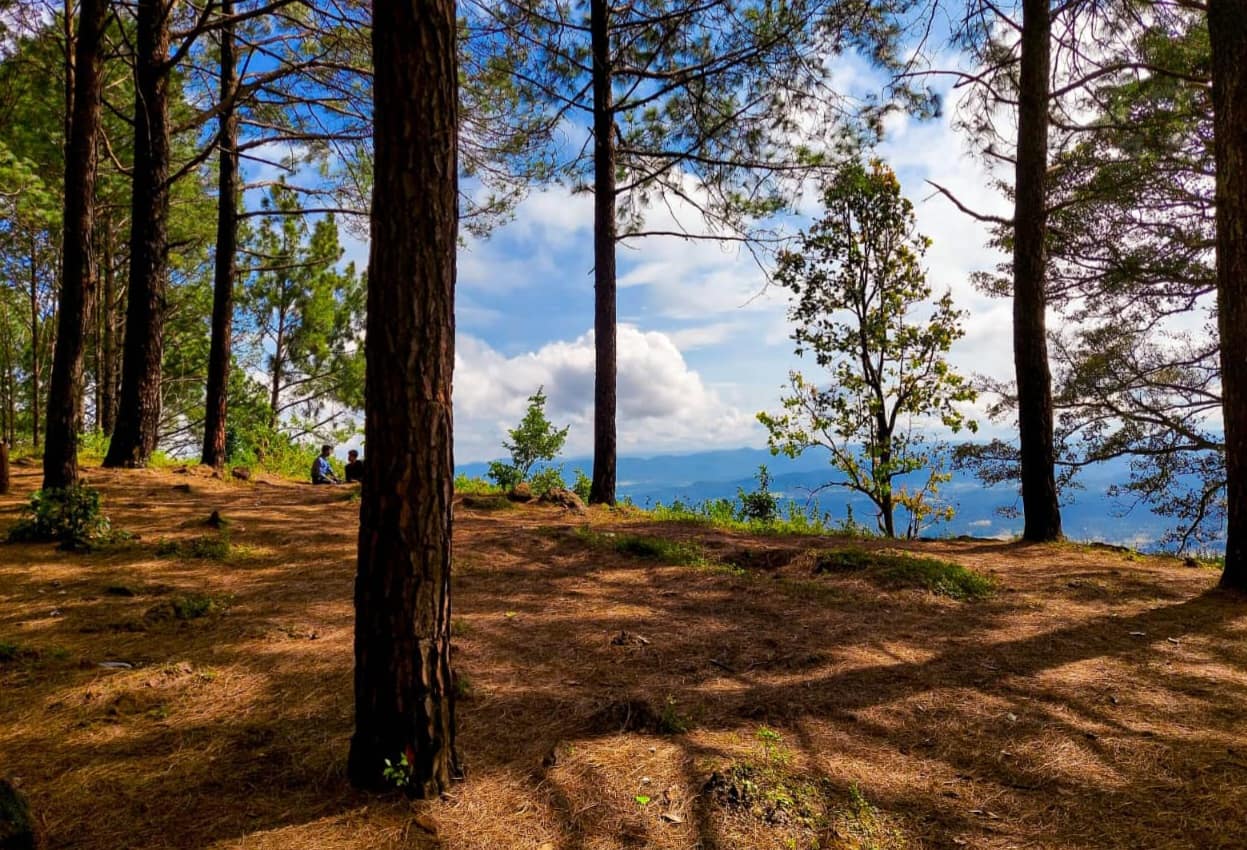
Koel View Point
- Best timeDawn — mist lies in the Koel valley and the first light catches the ridges; late afternoon for a softer, quieter view.
- ColorsCreamRustCharcoal
 Low crowd
Entry Nominal
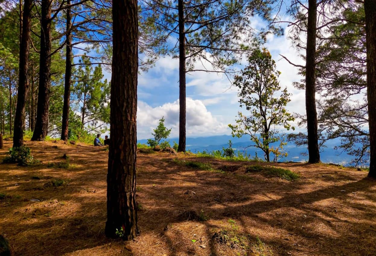
Lower Ghaghri Falls
- Best timeMorning for soft light in the gorge and a cool walk; August to November for the fullest fall.
- ColorsForest greenRustCream
 Medium crowd
Entry Free
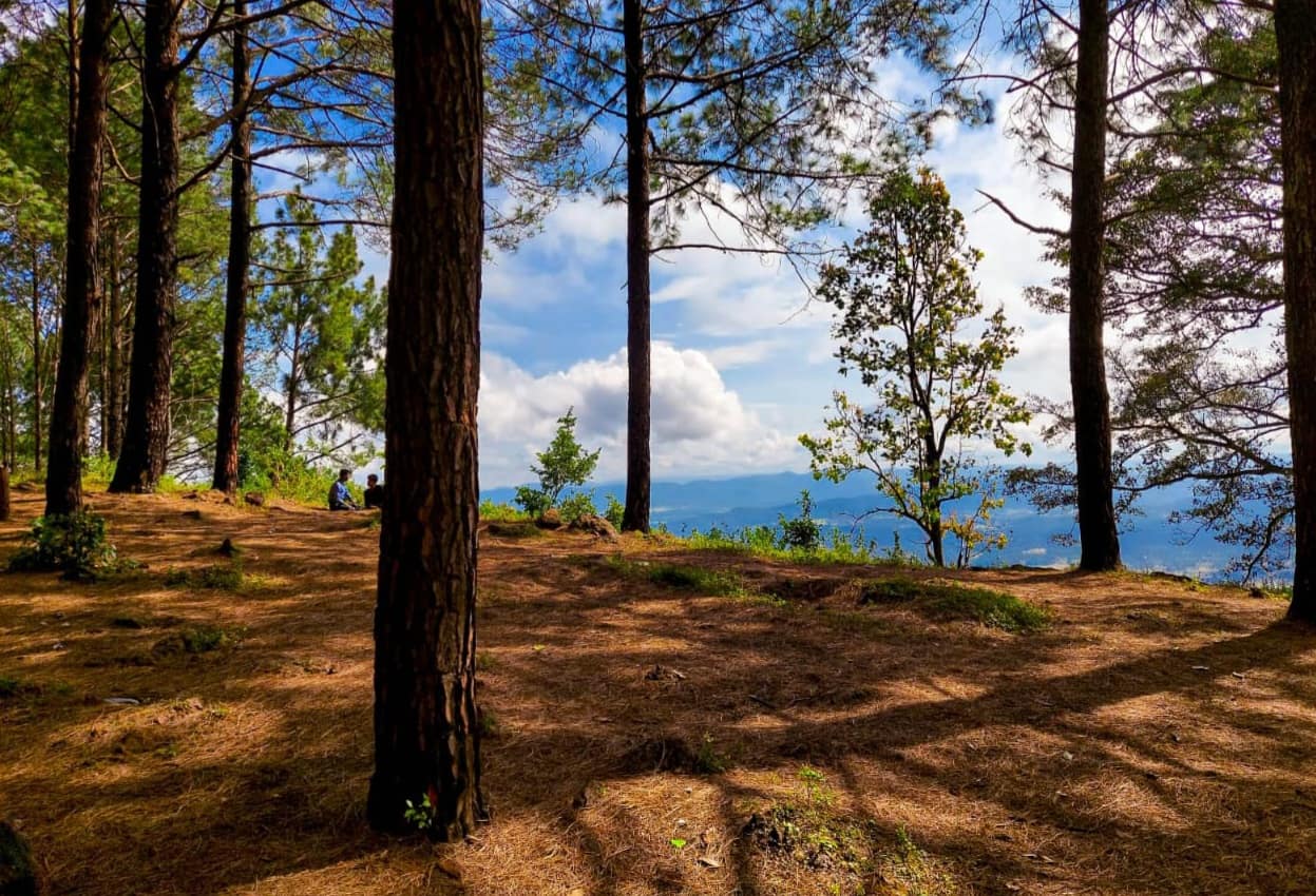
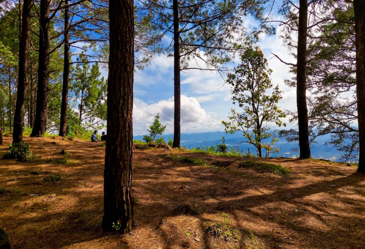
Magnolia Sunset Point
- Best timeSunset — the sun drops into layered forest ridges; the last 20 minutes before it sets give the warmest colours.
- ColorsMaroonRustCream
 Low crowd
Entry Free
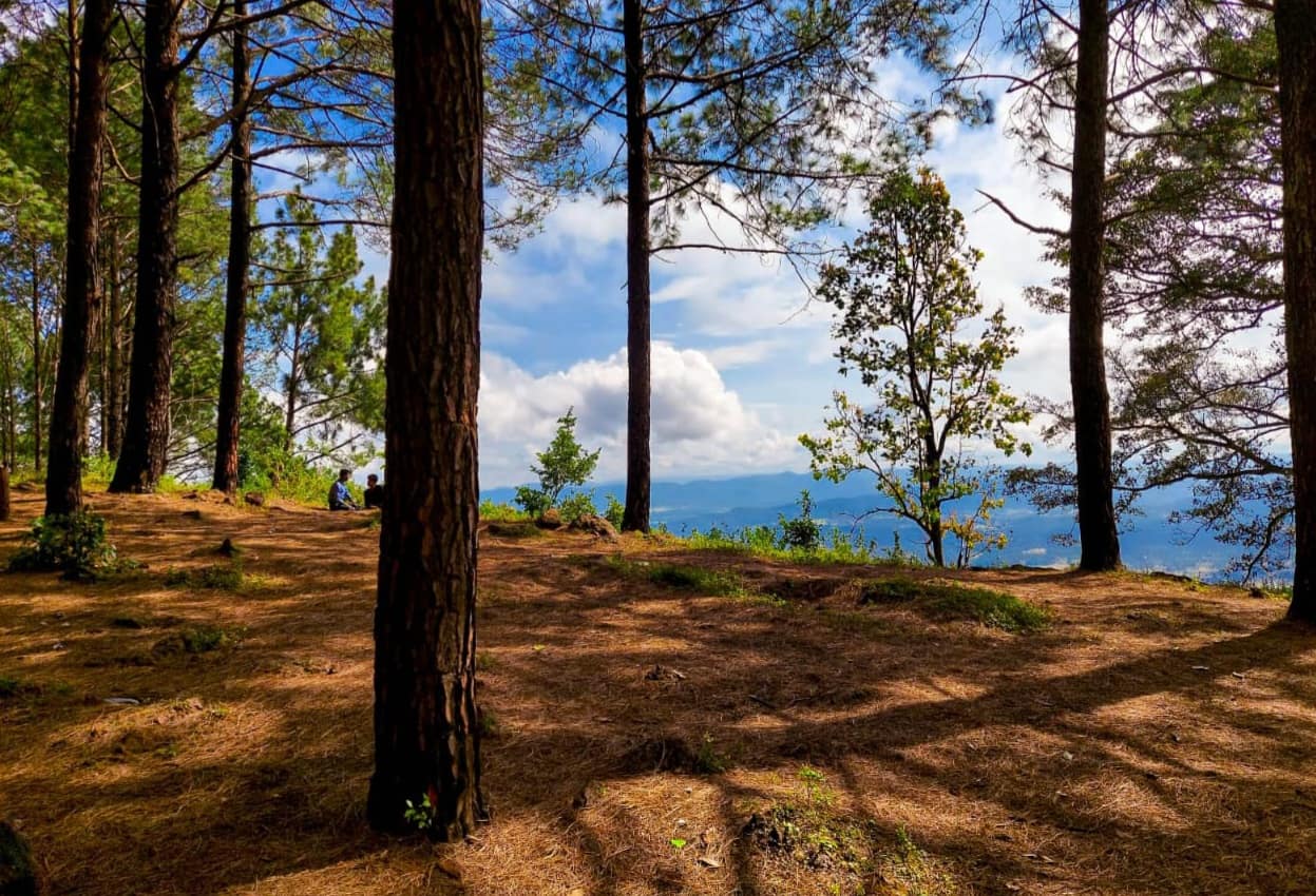
Netarhat Dam
- Best timeEarly morning for still water and mist; late afternoon for warm light on the forest around the reservoir.
- ColorsTealCreamForest green
 Low crowd
Entry Free
Upper Ghaghri Falls
- Best timeMidday — the forest shades the pool and the light is even; after the monsoon for the fullest flow.
- ColorsForest greenRustCream
For the feed
Trending Wear in Netarhat
Modern, Instagram-friendly looks
Rooted in the city
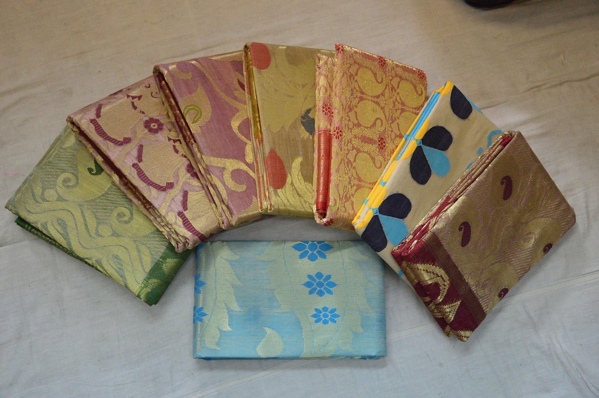
Netarhat Traditional Wear
Local, cultural, handcrafted outfits
Taste the city
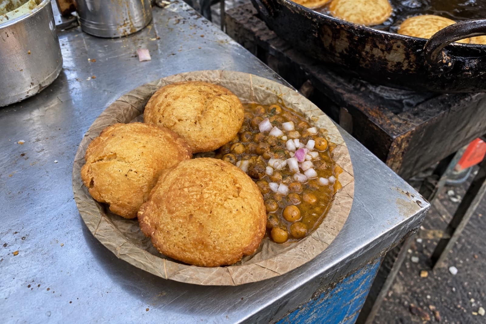
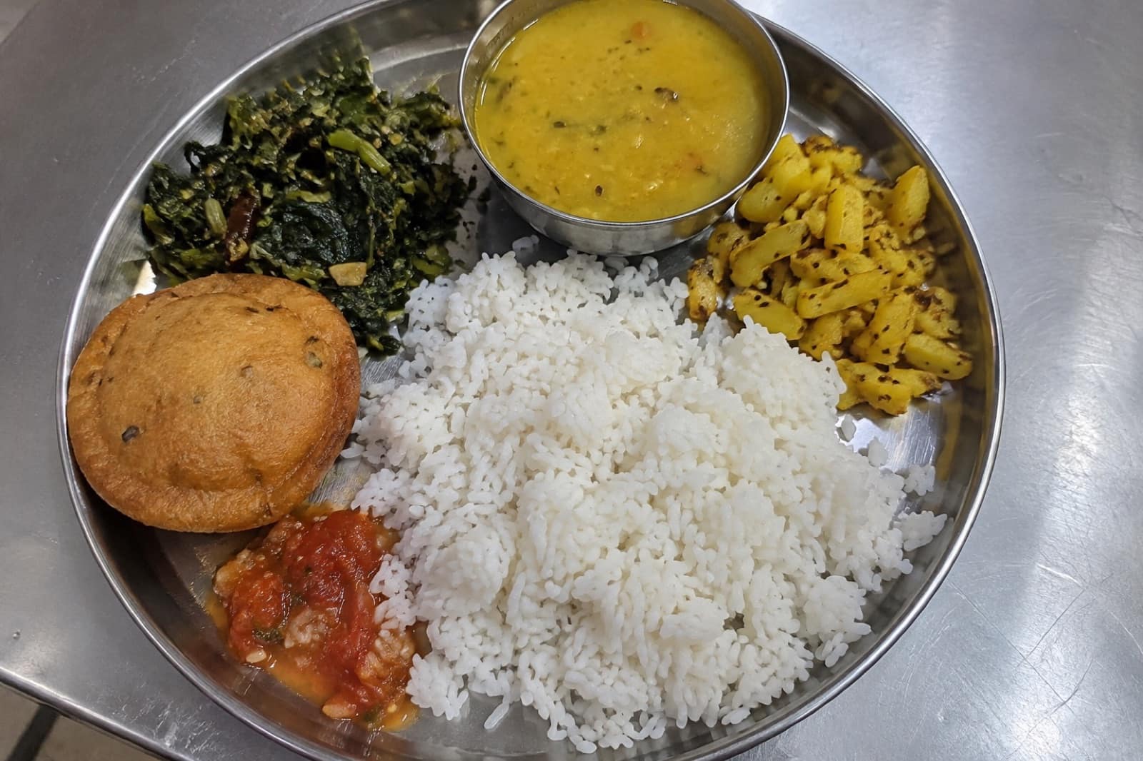
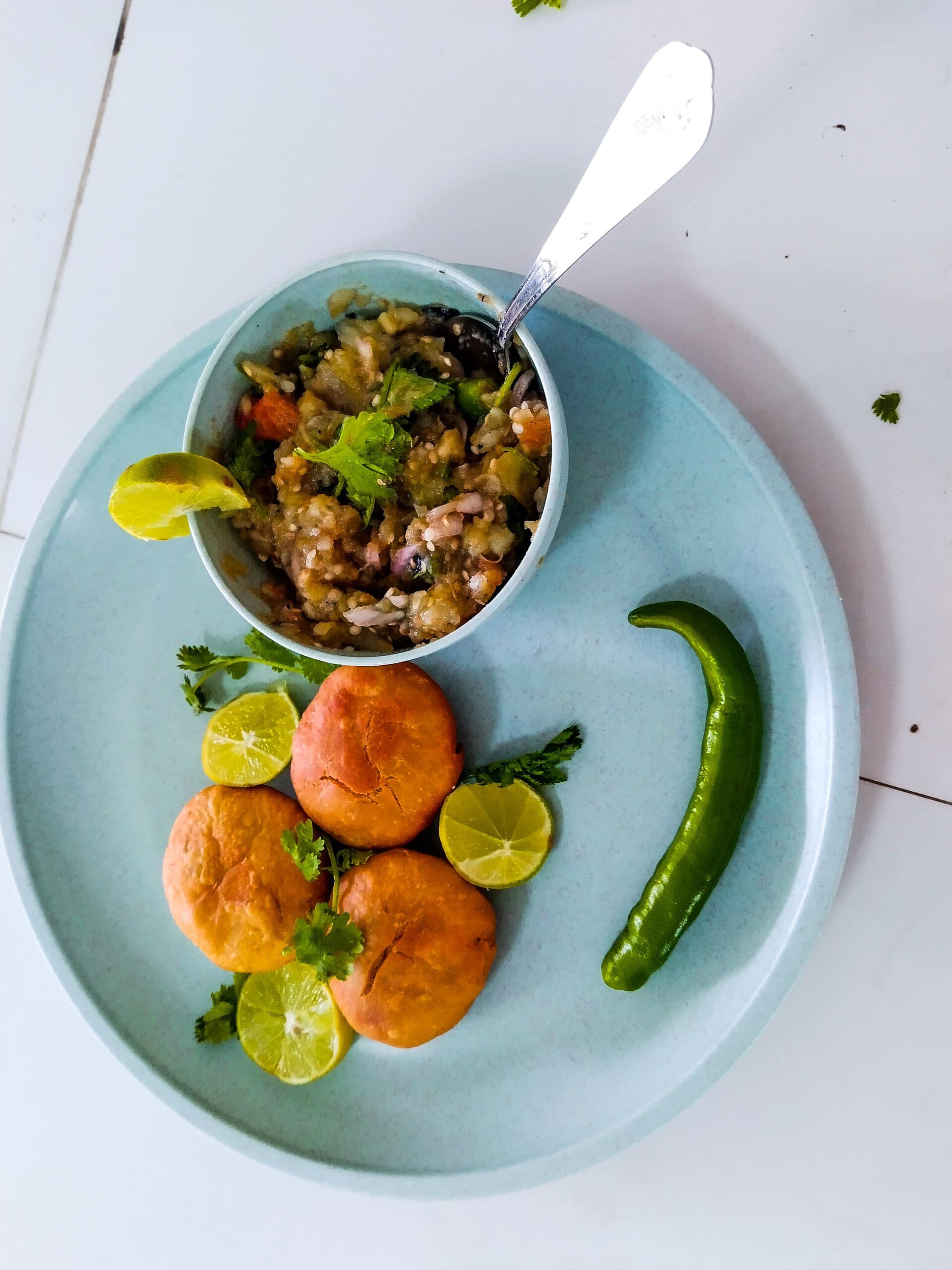
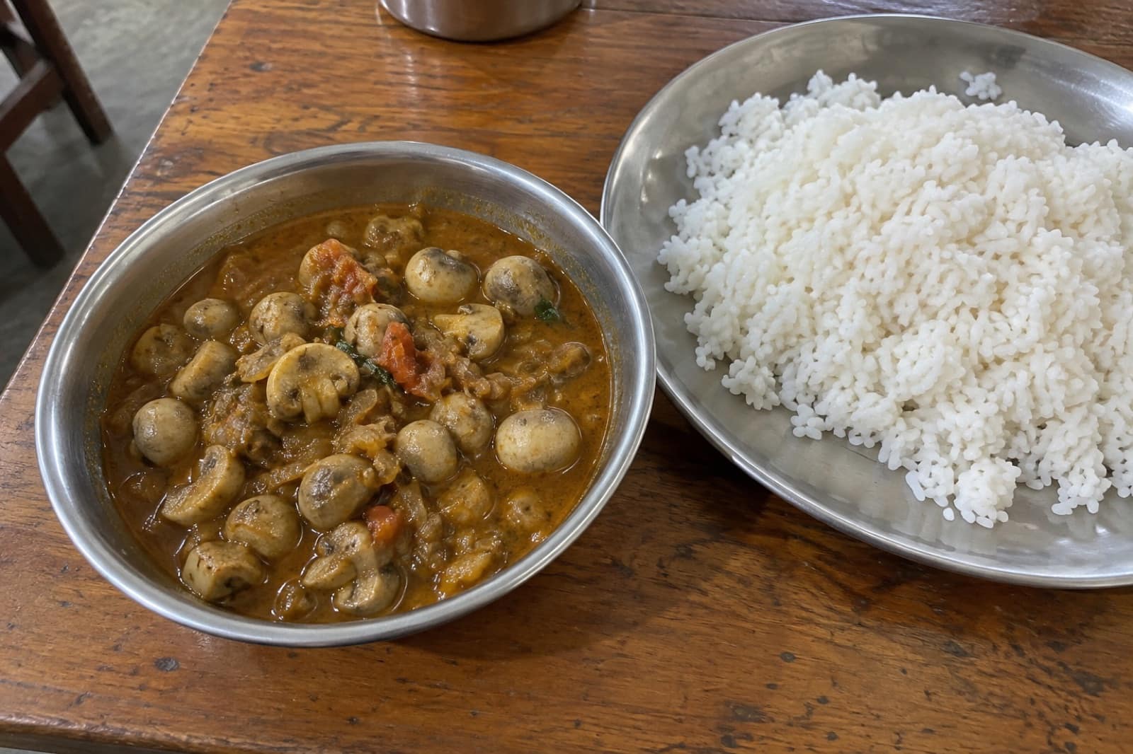
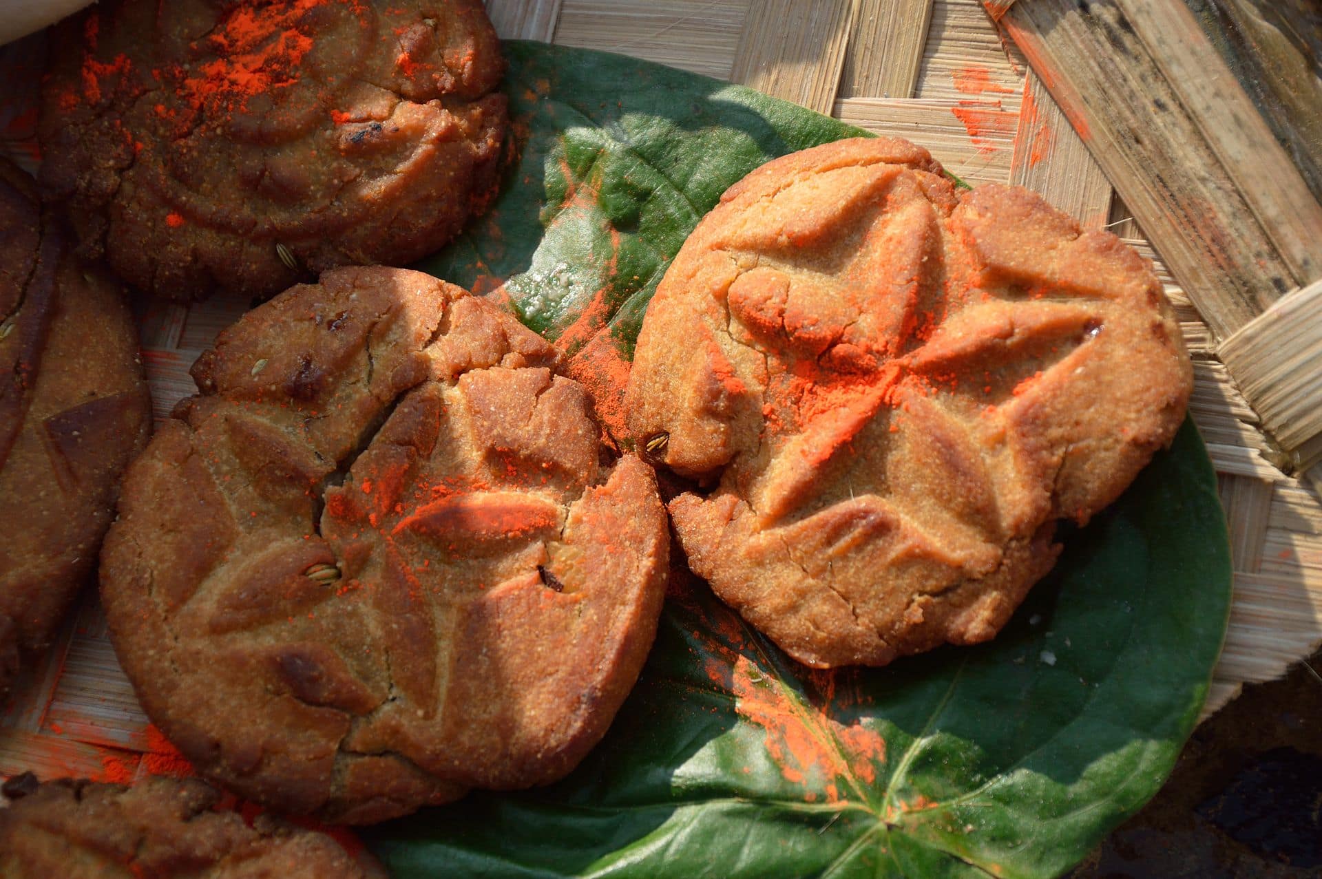
Food to Eat in Netarhat
Trusted tables
Where to Eat in Netarhat

A plateau, not a town
Netarhat sits at about 1,128 metres on a flat-topped plateau in Latehar district, the highest point of the Chotanagpur region. It is less a town than a scatter of forest lodges, a famous boarding school and a few markets among pine and sal. People come for three things: the sunrise, the sunset and the cool air. Winter nights here are genuinely cold, which surprises visitors from the plains.
Getting there
Netarhat is about 150–160 km from Ranchi, a drive of four to five hours through Lohardaga and Ghaghra. The last stretch is a winding ghat road up the escarpment and is slow going. There is no useful public transport, so most people hire a car from Ranchi for two or three days.
Plan to arrive in daylight. The forest roads have no street lighting, heavy trucks carrying bauxite use them, and locals advise being off them by dark. The same applies when you return from the sunset point in the evening.
Sunrise and sunset
Magnolia Sunset Point, about 10 km from the centre, is the famous one: a ridge facing west over forested hills, tied to a local love story about a British girl and a cowherd. Koel View Point looks out over the valley of the Koel river and is best early, when mist fills the valley. The sunrise point at the state tourism lodge, Prabhat Vihar, is the other classic dawn spot.
Waterfalls and water
Upper Ghaghri Falls, about 4 km out, is a small cascade just below Netarhat Dam. Lower Ghaghri Falls, about 10 km away, is far taller and reached by a short forest walk. With a longer day, Lodh Falls, Jharkhand's highest waterfall, is roughly 60 km away near Mahuadanr.
The people of the plateau
The villages around Netarhat are home to Oraon, Munda and Asur communities. The Asur, one of the state's most vulnerable tribal groups, have lived on this plateau for centuries and were known for smelting iron. Visit villages only with a local guide and permission.
Staying and eating
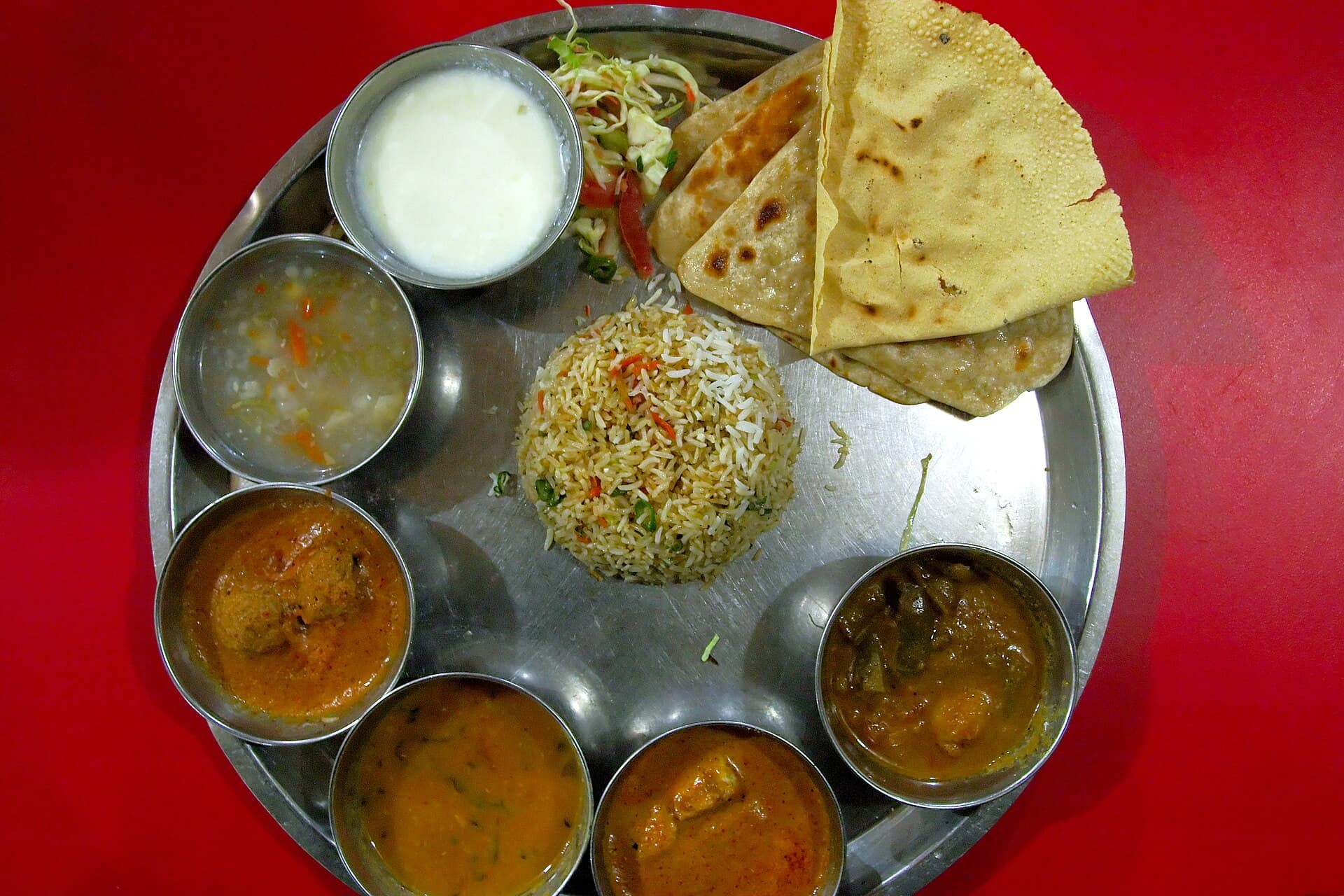
Accommodation is limited — the state-run Prabhat Vihar and a handful of lodges and homestays — and fills in winter. Food is simple: dhuska, litti chokha and Jharkhandi thalis. See what to eat and where to eat, and check the best time to visit before booking.
Questions
Netarhat — FAQ
How far is Netarhat from Ranchi?
About 150–160 km by road, usually four to five hours via Lohardaga and Ghaghra. The last stretch climbs a slow ghat road, so leave Ranchi early.
How many days do I need in Netarhat?
Two nights is ideal: one evening at Magnolia Sunset Point, one dawn at a sunrise point, and a day for the Ghaghri falls and the dam. A third day allows a trip to Lodh Falls.
Is it safe to drive in Netarhat after dark?
It is best avoided. The forest roads are unlit, bauxite trucks use them, and there is little help if you break down. Locals advise returning from the viewpoints soon after sunset.
Is Netarhat cold?
In winter, yes. December and January nights get very cold for Jharkhand, and mornings at the viewpoints are chilly. Summer days are warm but milder than Ranchi.
Can I visit Netarhat without a car?
It is difficult. Buses reach Netarhat from Ranchi and Latehar, but the viewpoints and falls are spread out, and local transport is scarce. Most visitors hire a car and driver.