
Meghalaya · India
Shillong
The 'Scotland of the East' — a pine-clad hill capital of rolling green ridges, waterfalls, sacred lakes and India's original rock-and-roll soul.
Shillong is Khasi country: matrilineal traditions, Sunday church choirs, guitar culture, and cool weather that calls for cosy layers and the tartan-checked Khasi jainsem.
Plan your trip
Shillong Tour Itineraries
Timed, walkable day plans — plus the best season to go.
Where to shoot
Shillong Photo Spots
Entry Nominal
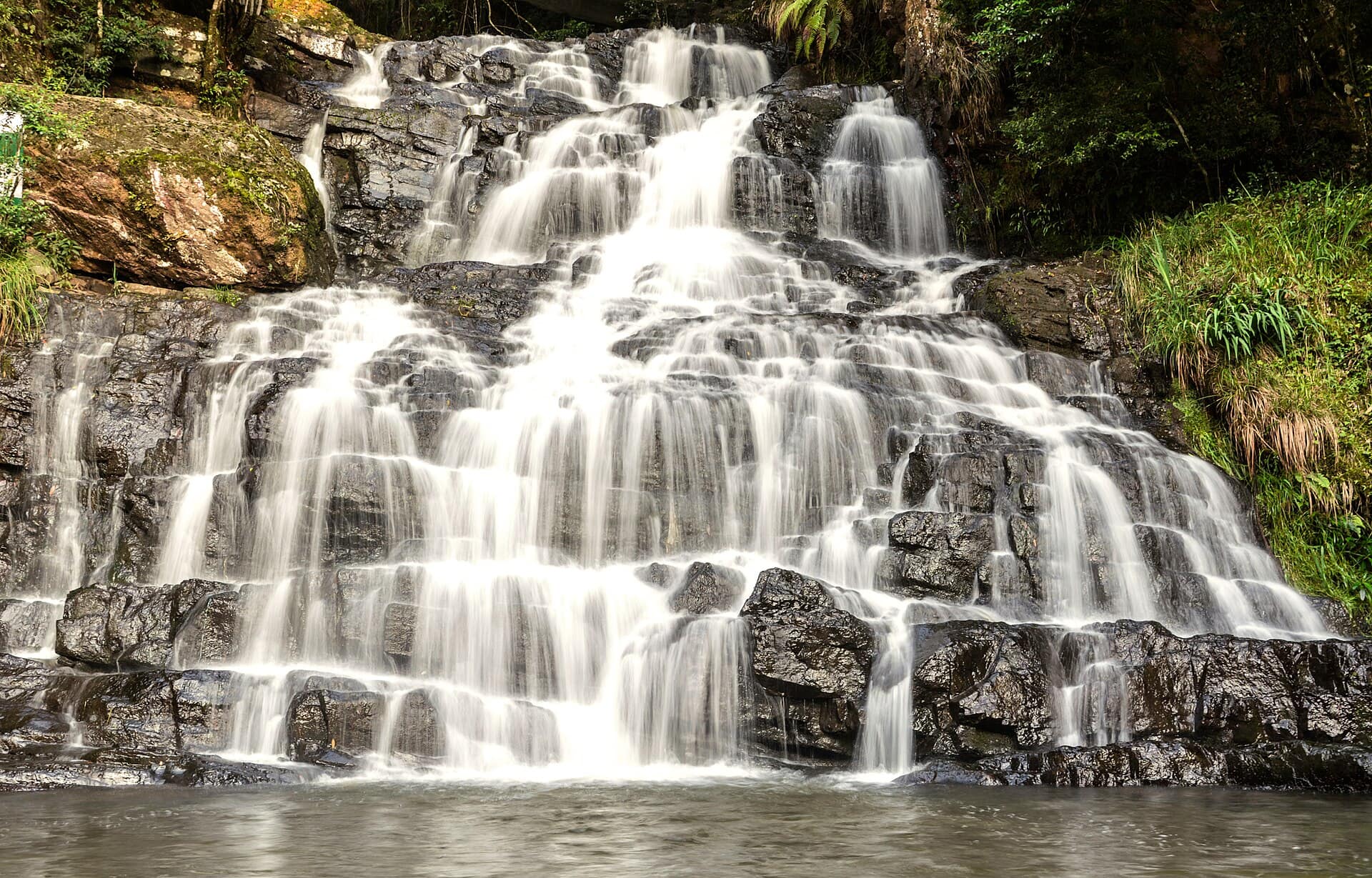
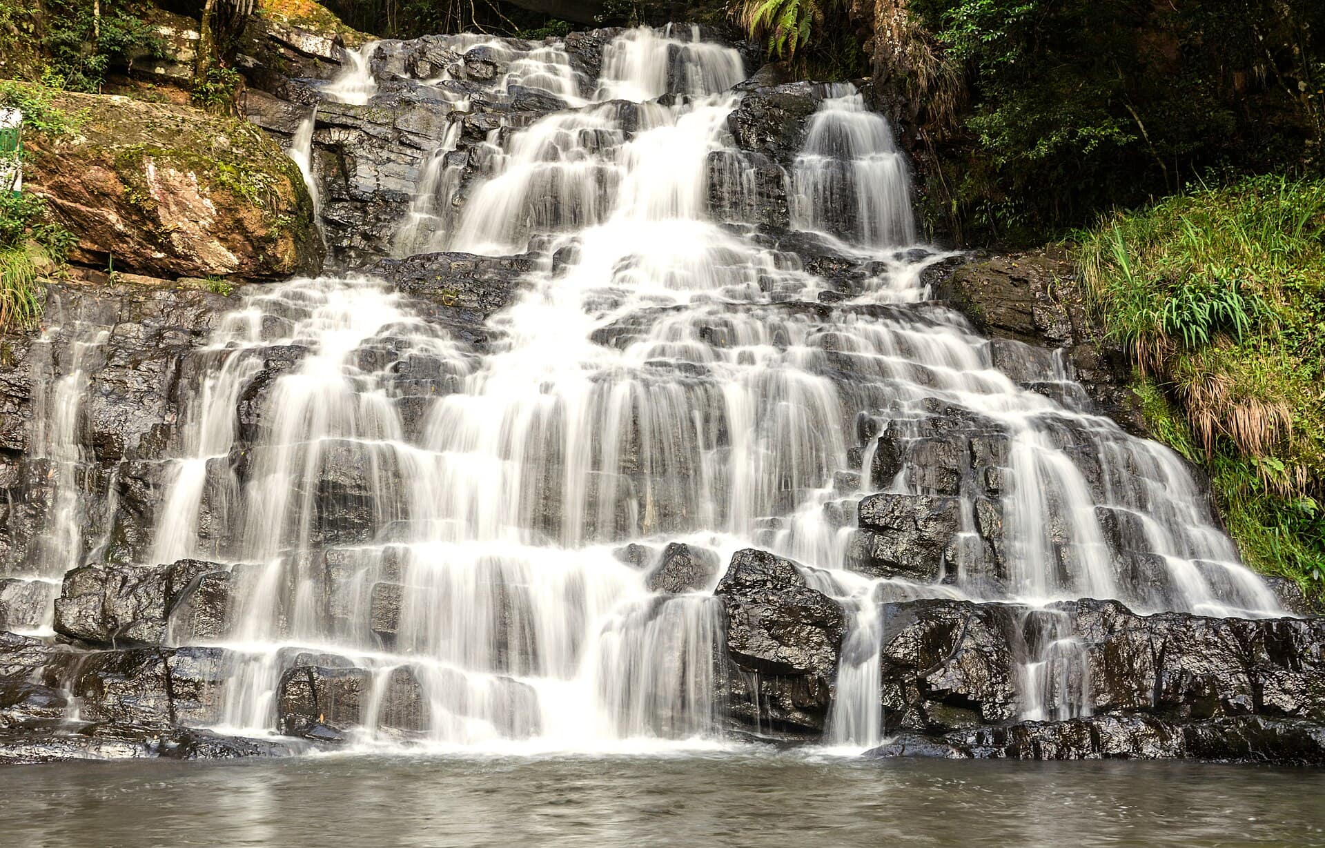
Elephant Falls
- Best timeMorning, soon after the gate opens, before groups fill the platforms; just after the monsoon for the most water.
- ColorsYellowWhiteTeal
Entry Free
Laitlum Canyons
- Best timeMid-morning on a clear day, once any early fog has lifted; late afternoon for long shadows on the ridges, leaving before dark.
- ColorsRedWhiteOchre
 Medium crowd
Entry Nominal
Shillong Peak
- Best timeMorning, before cloud builds over the hills, on a clear day between October and March.
- ColorsRedCreamNavy
 Medium crowd
Entry Nominal at viewpoints
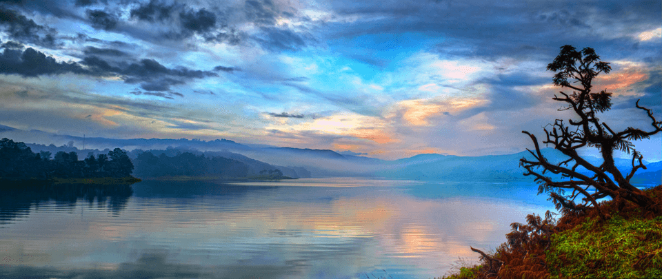
Umiam Lake
- Best timeEarly morning, when mist lifts off the water and the hills look layered; late afternoon for warm light on the pines.
- ColorsWhiteRustForest green
 Medium crowd
Entry Nominal
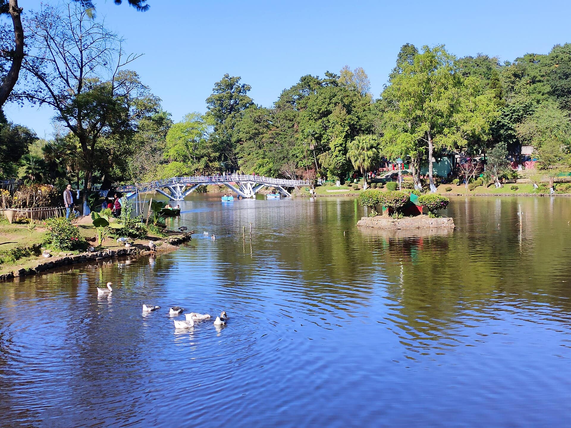
Ward's Lake
- Best timeMorning, when the water is still and the bridge reflects cleanly; late afternoon for soft light on the gardens.
- ColorsPastel pinkWhiteSage
For the feed
Trending Wear in Shillong
Modern, Instagram-friendly looks


Rooted in the city
Shillong Traditional Wear
Local, cultural, handcrafted outfits
Taste the city
Food to Eat in Shillong
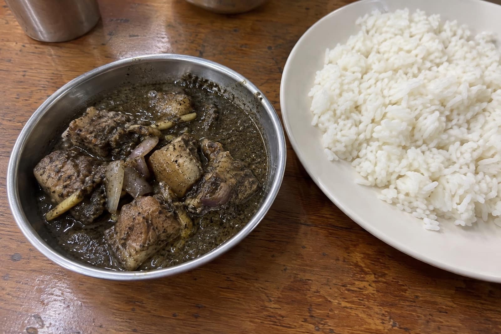
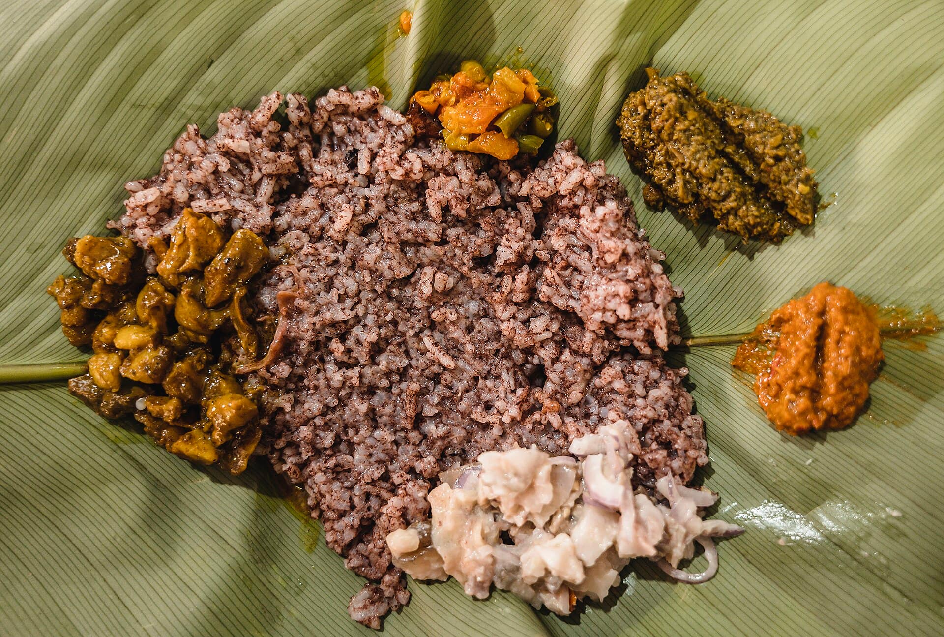

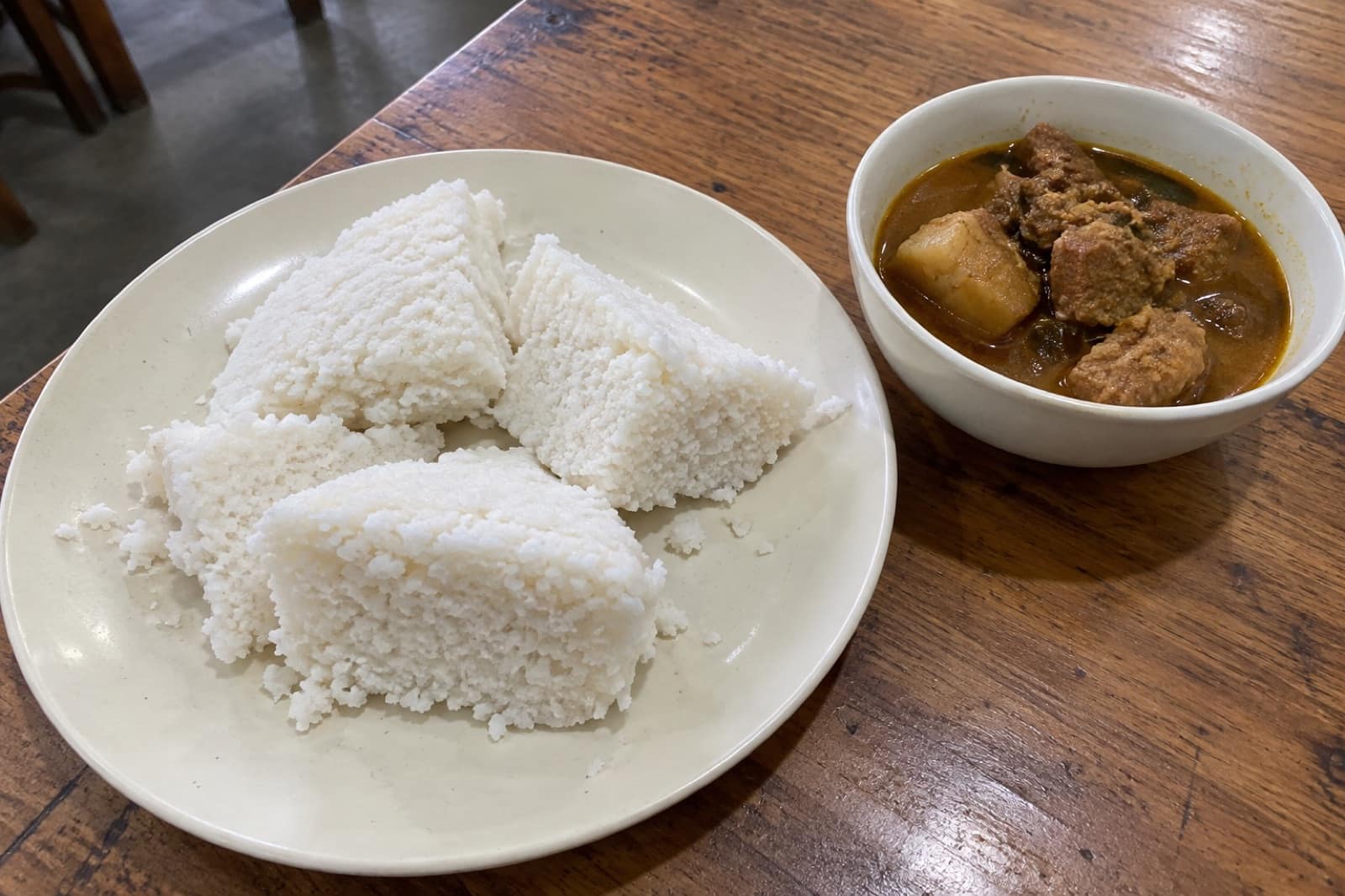
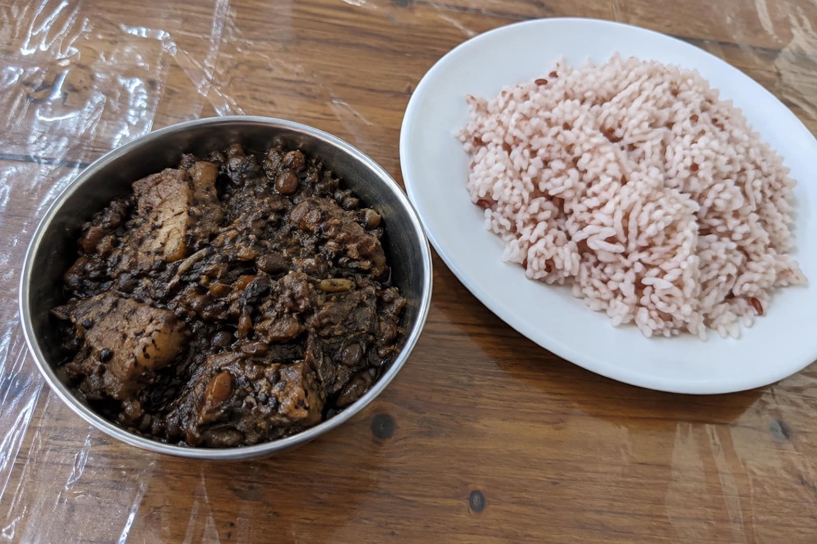
Trusted tables
Where to Eat in Shillong

A hill capital on the Khasi plateau
Shillong spreads across a ring of pine-covered ridges in the Khasi Hills, at roughly 1,500 metres, rising to 1,965 metres at Shillong Peak. The British made it the capital of undivided Assam, and it is now the capital of Meghalaya. The old nickname, "Scotland of the East", comes from the rolling hills and the cool, damp air. The city itself is busier than the nickname suggests: steep one-way roads, heavy traffic around Police Bazaar, and houses stacked up every slope.
Khasi culture, churches and guitars
Most people you meet will be Khasi. Khasi society is matrilineal, so family names and inheritance pass through the mother, and the youngest daughter traditionally keeps the family home. At the 2011 census, Christians were the largest group in the city, with a large Hindu population too, and a minority who follow the indigenous Khasi faith. English is an official language of Meghalaya and is widely spoken. Sunday is a church day, and many local shops open late or stay shut. Music runs deep here: church choirs, rock bands and the live evenings at Café Shillong in Laitumkhrah.
Getting there and getting around
Shillong has no railway. Most visitors fly or take the train to Guwahati, about 100 km away, then go up by shared taxi or cab; the drive usually takes about three hours, longer in traffic or rain. Shillong Airport at Umroi, about 30 km north of the city, has only a few flights. In town, local taxis are the easiest way around. The centre is walkable but hilly, and footpaths are narrow.
Where your time goes
Ward's Lake and the Police Bazaar shops are a short walk apart in the centre. Elephant Falls and Shillong Peak sit on the Upper Shillong side and fit into one morning. You pass Umiam Lake on the Guwahati road on the way in, and Laitlum Canyons is a half-day trip about 25 km out.
Day trips further out
Shillong is the usual base for Cherrapunji (Sohra), Dawki and Mawlynnong. At Dawki, the Umngot river is only glass-clear in the dry months, roughly November to April, and boating stops in heavy rain. The double-decker root bridge at Nongriat means a steep descent of thousands of steps, and the same climb back, so treat it as a full day.
The weather in short
The monsoon arrives in June, which is usually the wettest month, and rain often carries on into October. October to April is drier and clearer. January nights can drop to around 5°C, so pack a proper warm layer.
Questions
Shillong — FAQ
How do I get from Guwahati to Shillong?
Shared taxis and private cabs leave from Guwahati, including from the airport. The road is about 100 km and usually takes around three hours, more in heavy rain or evening traffic.
Is there a railway station in Shillong?
No. The nearest major station is Guwahati. A rail line towards Byrnihat, near the Assam–Meghalaya border, is being built, but Shillong itself is not yet on the rail network.
How many days do I need in Shillong?
Two days covers the city sights, Umiam Lake and Laitlum Canyons. Add a day each for Cherrapunji and for Dawki with Mawlynnong, as both are long drives on hill roads.
What language do people speak in Shillong?
Khasi is the everyday language. English is an official language of the state and is widely spoken, and most shopkeepers and drivers also understand Hindi.
Is Shillong quiet on Sundays?
Yes, noticeably. Much of the city goes to church, and many local shops and offices open late or stay closed. Plan sightseeing for Sunday and shopping for another day.